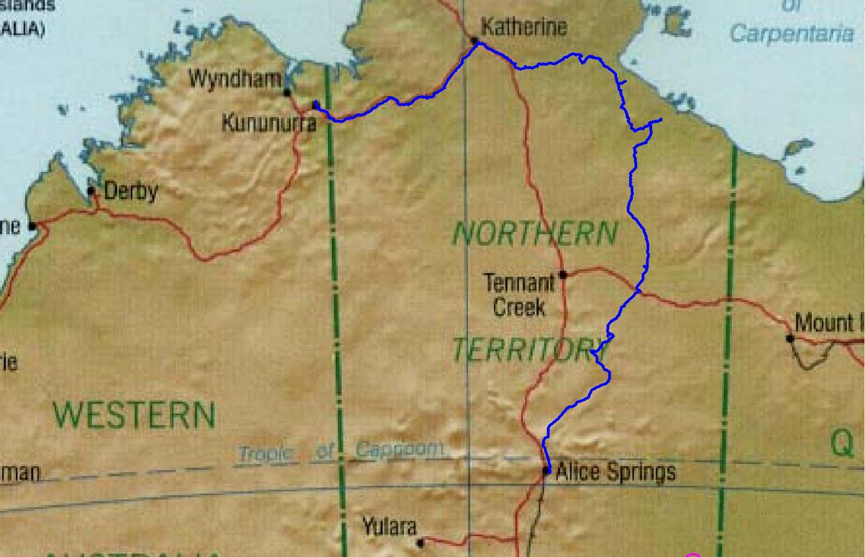
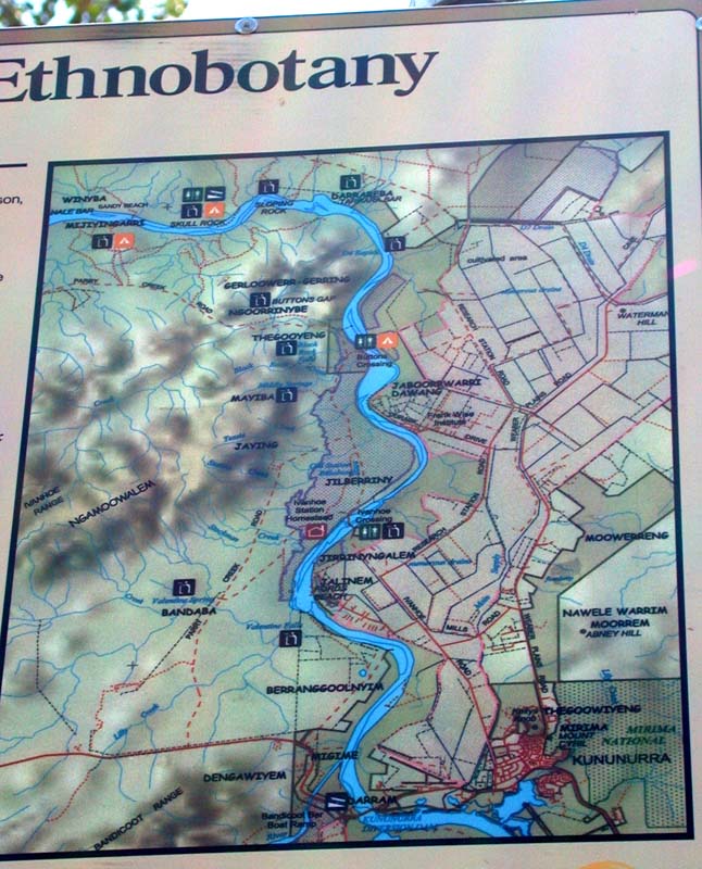
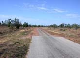
Roper Bar - Savannah
Way - Alice Springs back to top
Roper Bar - Lomarieum
Lagoon - Savannah Way - Burketown Crossing - Butterfly Springs
- Borrolloola- Carpentaria Hwy - Tablelands Hwy - Caranbirini
Cons Res - Lower Amazon Lagoon - Barkley Homestead Roadhouse
- Davenport Range NP - Sandover Hwy - Alice Springs
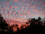
On Tuesday the day starts a bit cloudy with a very impressive
sunrise. The clouds dissolve soon and another sunny and hot
(36°C) day begins.
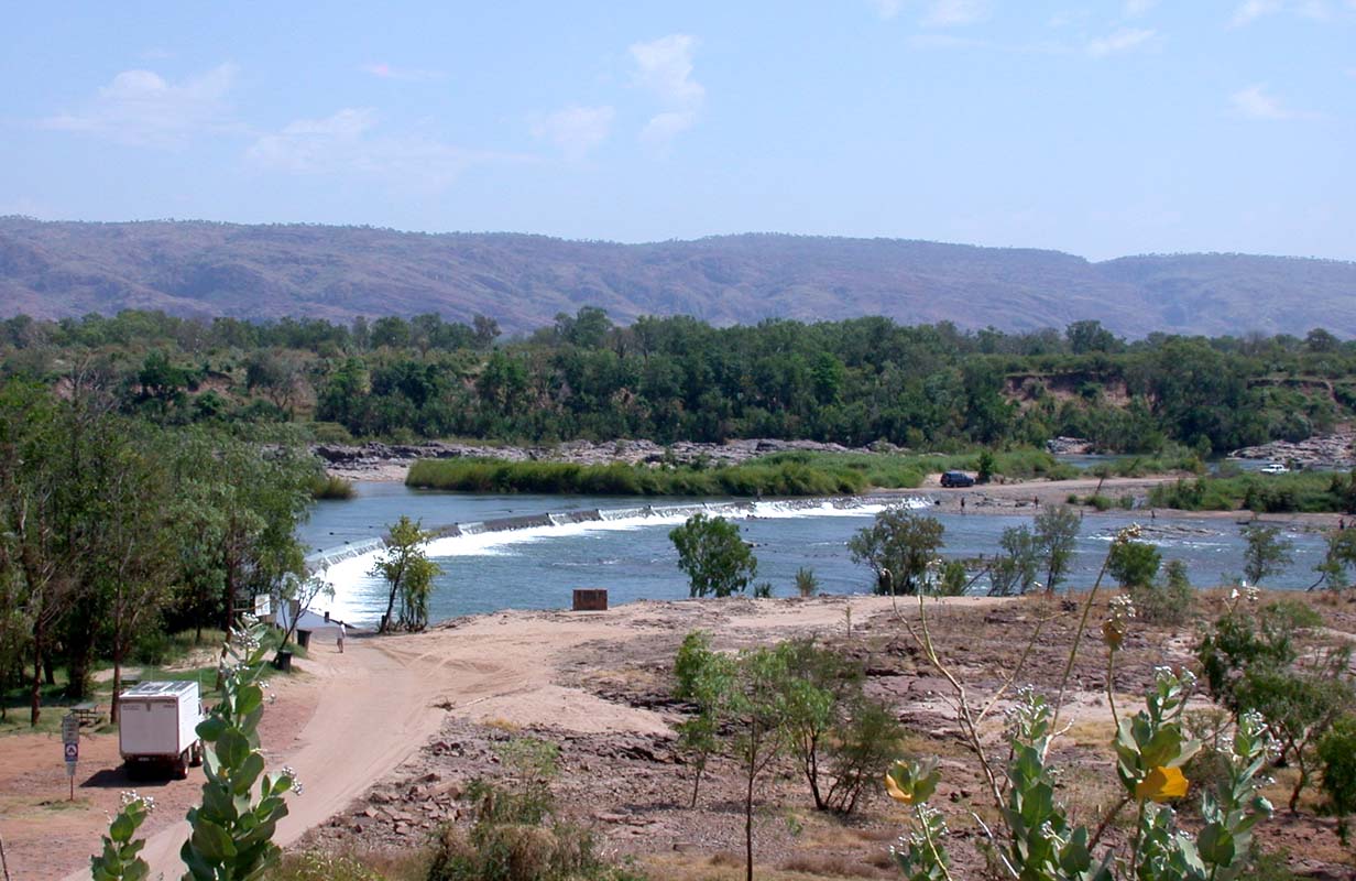
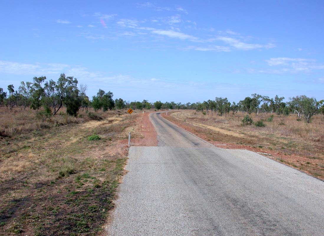
We pack up and travel to Roper Bar.
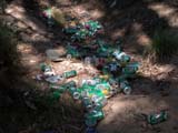
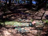
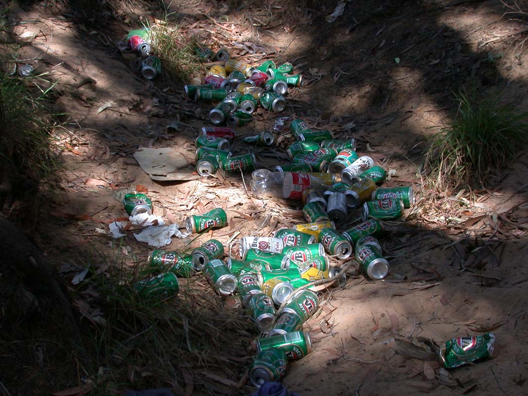
Again we must experience that a beautiful setting is polluted
with beer cans ... what a shame.
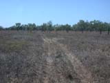
Les Hiddins describes a side track leading to the Rocky
Bar crossing, the old crossing of the Hodgson River.
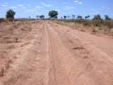
Curious as we are we start looking
for the turn off and after much searching find a small
track.
We see the track on the map and follow it but suddenly
the
map and the track start diverting more and more.
After driving forth and back a few times we decide to park
the OKA at the closest point to the crossing and then head
off by foot and look for it.
We pack our gear (GPS, water, food, sunscreen, sat-phone,
hats), take the GPS position of the OKA (so we find back)
and start searching.
But all we find is a washed-out section where all tracks seem
to end.
We decide to walk to the river and try to find the track
form there. We start tracking our walking track with
the GPS.
Due to the sometimes thick scrub and high grass
we have to walk detours, climb over rocks, go around wash-outs,
etc and change the direction all the time.
The OKA quickly disappears from our view.

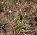
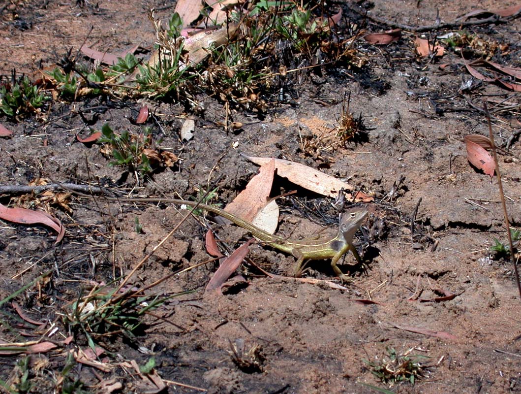
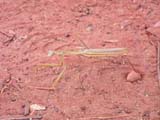
On our way into this dry area we find a Two-lined
Dragon (Diporiphora bilineata) and lots of Sundew (Drosera
indica).
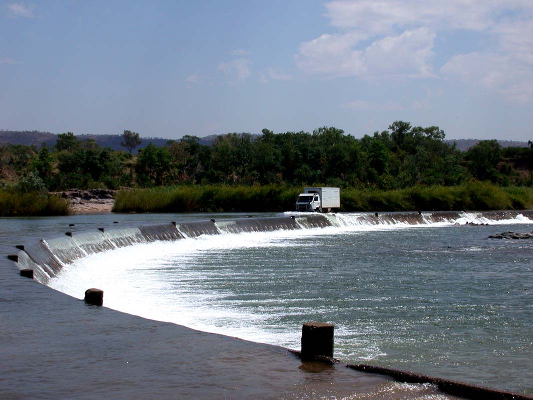
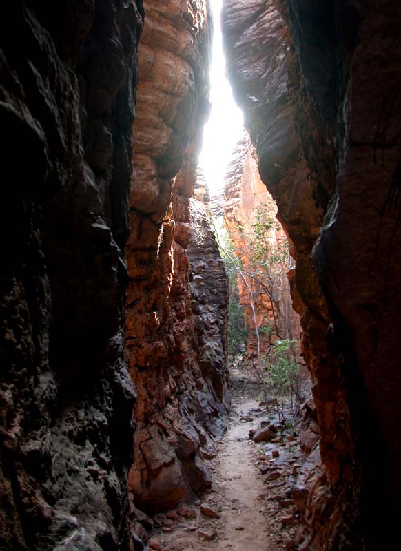
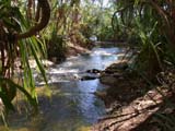
About 45 minutes later we reach the almost dry river and
find the track. The old crossing is a section in the river
with a natural section of rocks that make a perfect crossing.
This seems to be a well-liked picnic and fishing spot as the
track on the other side of the river is clearly visible and
often driven.
As we cannot find the track on this side of the river it
looks like it has been washed away a while ago.
It gets hotter and hotter (34°C) and we decide
take the straight way back even if we have to cross high
grass.
We walk
like elephants to
(hopefully) scare any snakes away. But I guess seeing us walking
like this they would die of laughter before .... tourists
out bush!
Back at the OKA we look at the GPS tracks and are glad that
we did not have a GPS-failure down at the river.
With all the detouring we did on the way to the river
we would have had no chance to ever again find the OKA without
help.
Lesson learned: either don't go in detours or take 2 GPS's
with the recorded position of the truck along with you.
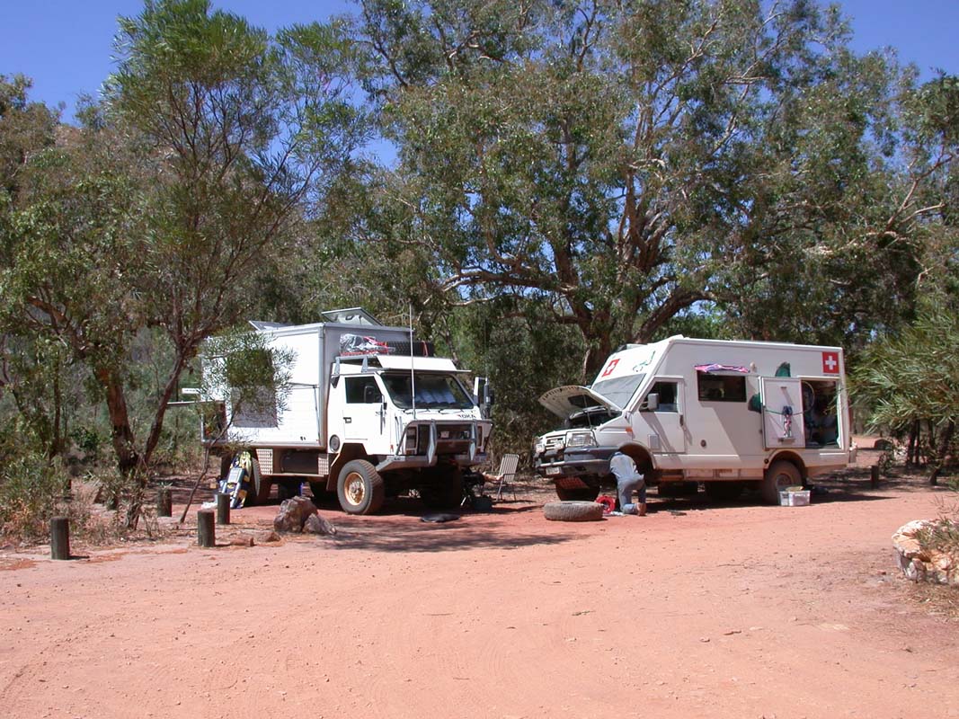
Back at the OKA we find satellite-phone mail from Monika and Fredy proposing that we meet up in Borroloola on Friday.
That gives us still
lots of time to look around.
Looking for a place for the night we
drive up to Tomato Island Camping
but this seems to be for Barramundi fishing people only.
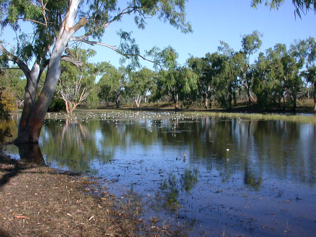
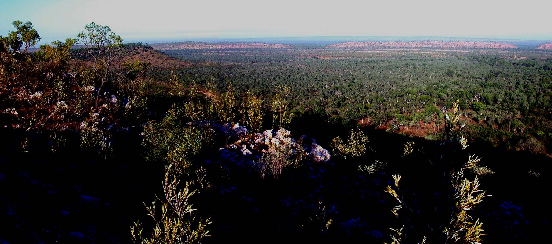
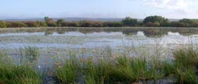
So we continue our way and soon enter an area where there
are billabongs left and right all over the place.
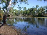
We find a very nice one and camp right
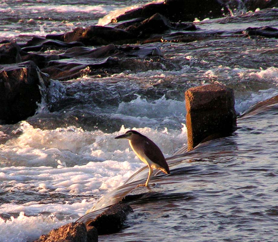
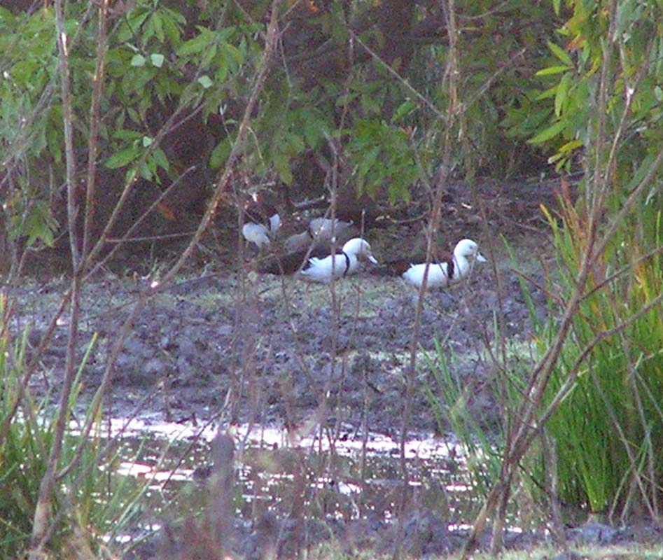
beside it. The bird life is amazing.
During the night the temperature drops to 18°C and a light
fog hovers over the billabong.
Early in the morning the birds
get really active and flocks of Ibis, Herons, Egrets and
various sorts of ducks visit the billabong.
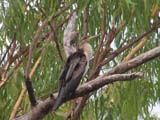
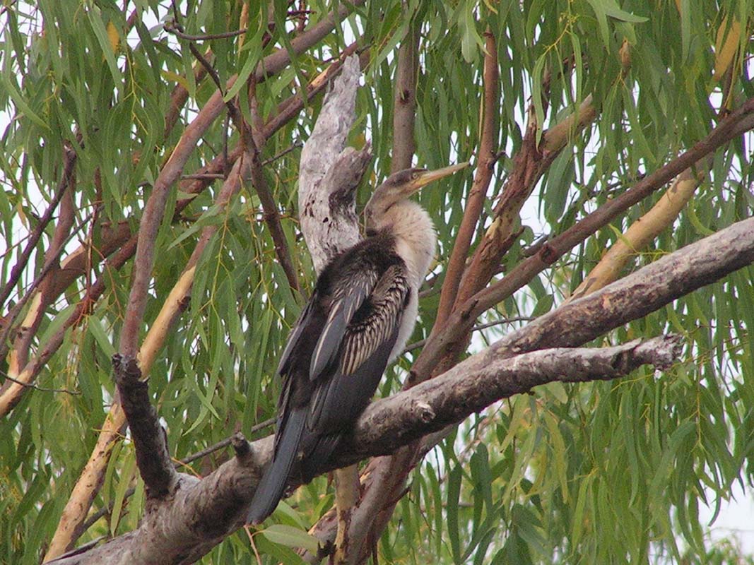
Right in front of our window an Australian Darter (Anhinga
melanogaster) cleans his feathers. We can lay
in bed and watch him doing so. I don't mind bird watching
like this at all ....
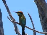
Later on we can also watch a Rainbow Bee-eater (Merops ornatus)
and some Black-Necked Storks or Jabirus (Ephippiorhynchus asiaticus)
.
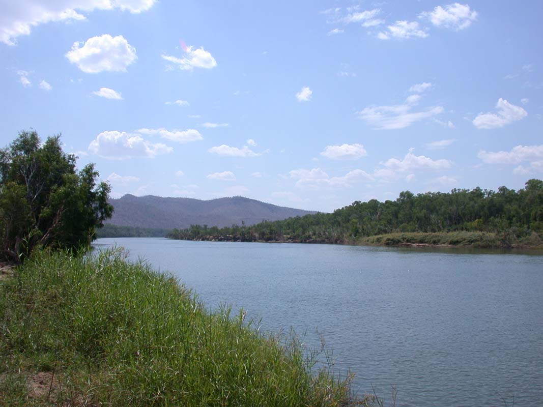
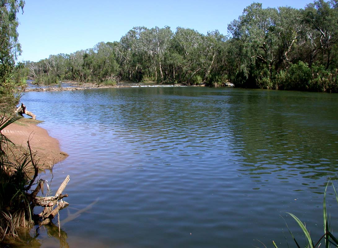
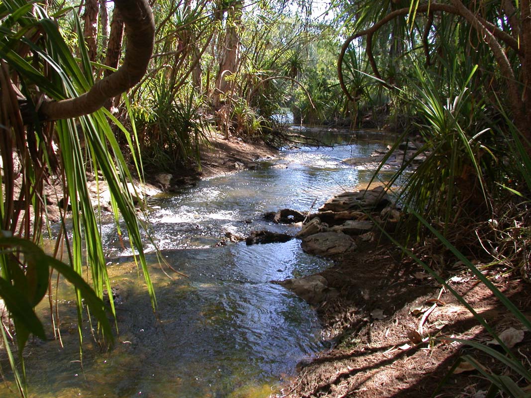
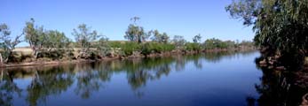
We
follow the Roper River with all his secluded little fishing
and camping spots and soon enter the proposed Limmen
NP.
We start
looking for the turn-off
to the
Lomarieum
Lagoon but it is a bit confusing because the old signs mentioned
in the guide books have been removed but the new ones have
not yet been set up.
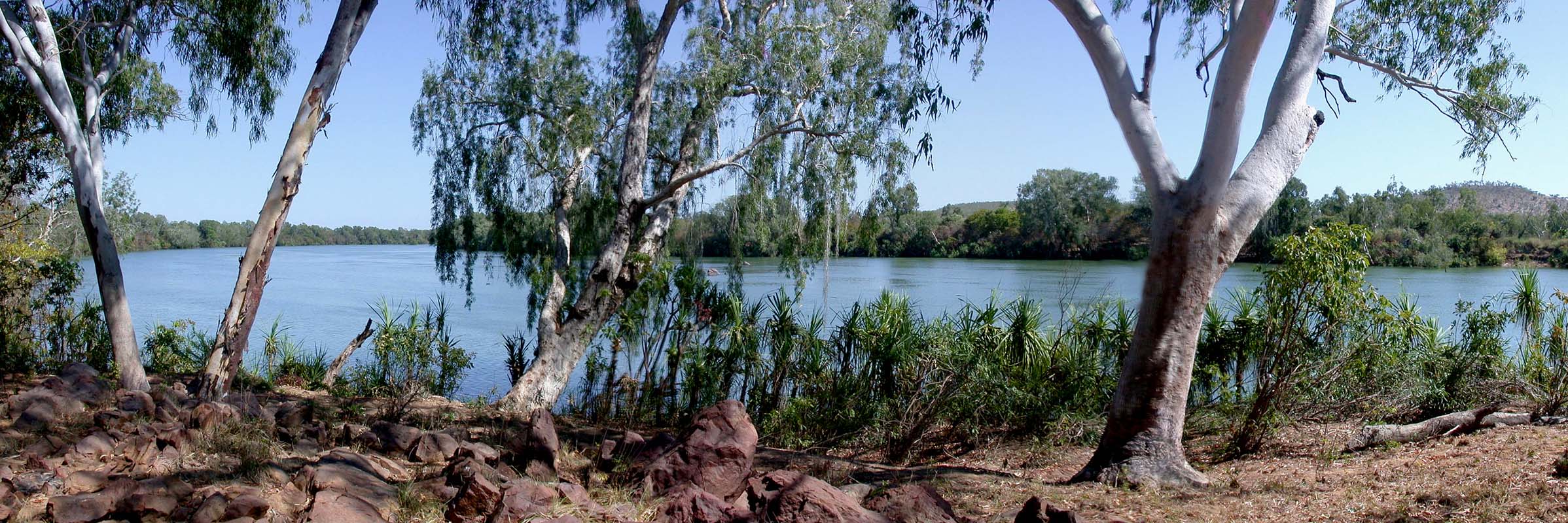
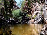
We finally find
the white-painted remains of St. Videon homestead and shortly
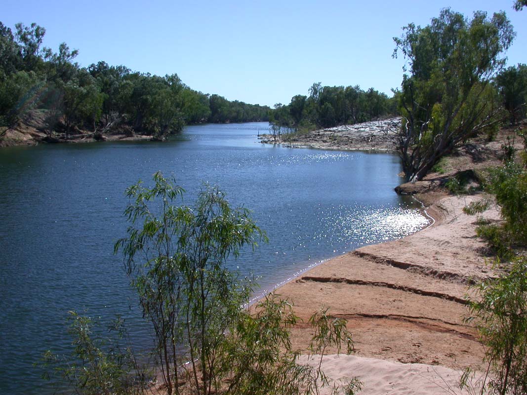
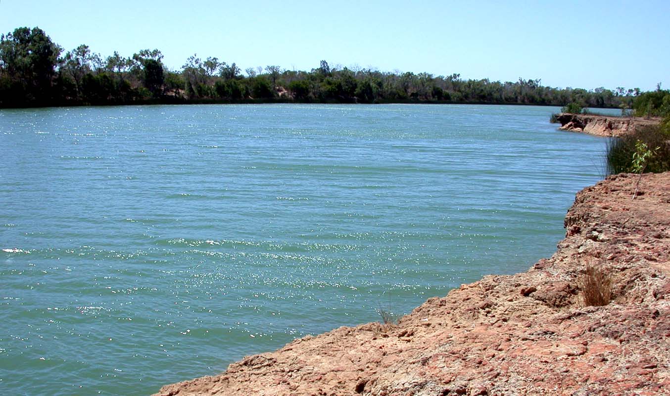
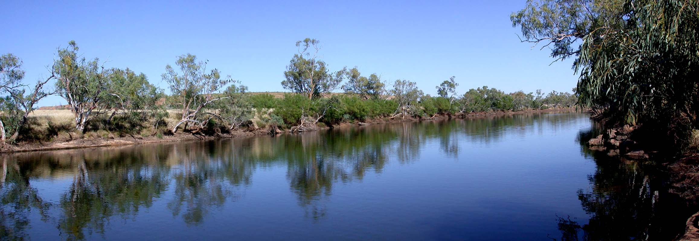
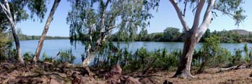
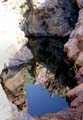
after find the lagoon.
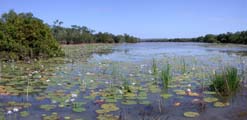

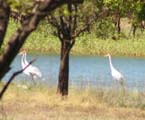
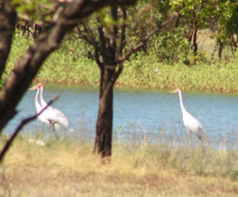
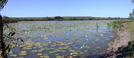
What a sight!
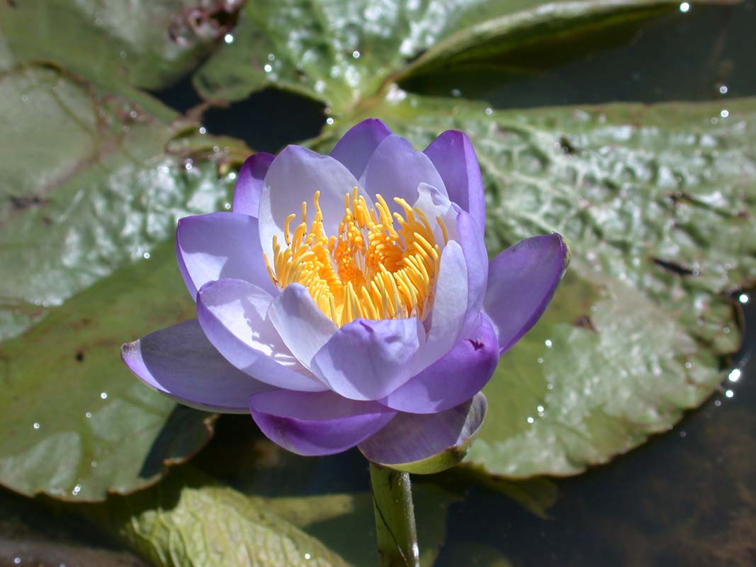
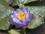
The lagoon is covered with water lilies and
has paperbarks all around the edge.
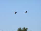
There are water birds
everywhere, Burdekin Ducks or Radjah Shelducks (Tadorna radjah),
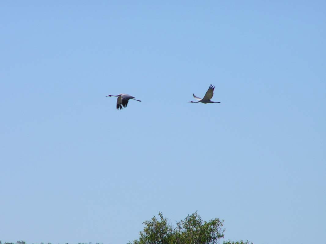
a Brolga (Grus rubicundus; the one on the right side with
just a red stripe on his head) and we even see Sarus Cranes
(Grus antigone; the ones on the left side with
red head).
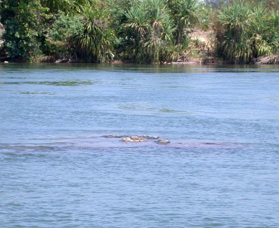
One would not expect to find salties
in this peaceful place but during the wet season when
it floods the lagoon joins up with the Roper River so you
better
be careful.
We decide to stay for the day at this beautiful place.
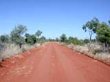
We follow the north-facing track of the lagoon.
The
track is overgrown and every so often the OKA pushes a
tree or branch a bit to the side.
Suddenly a branch of a
dead paperbark breaks off and starts falling.
Ruedi
steps
on the
breaks
which proved
to be the
wrong reaction.
The branch slides from the roof over the windscreen destroying
the radio antenna and bending the base of the UHF aerial 90°
to the side.
For next time we know that we have to continue driving so
the branch falls behind the truck ...... and probably breaks
the radio arial of the Radio installed in the back-section
:-)
After this experience we decide (like many other before
us judging by the tracks) to move a bit up-hill away from
the paperbarks.
The track is good but leans a bit to one
side. This angle gets bigger and bigger. Susi sits uphill
and does not really mind it that much but Ruedi who leans
towards the lower part is soaked in sweat. After a few hundred
meters luckily the track gets horizontal again and we find
a very nice spot for the night.
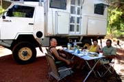
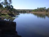
This is the view from the "kitchen"-window. Not
bad, hey?
With this setting as background we start working on the pictures
that we will use later on to describe the
OKA on our web-page.
The light reflects so intensely from the water that it is
quiet difficult to get proper shots.
In the evening the nice view does
not help to keep the cook happy.
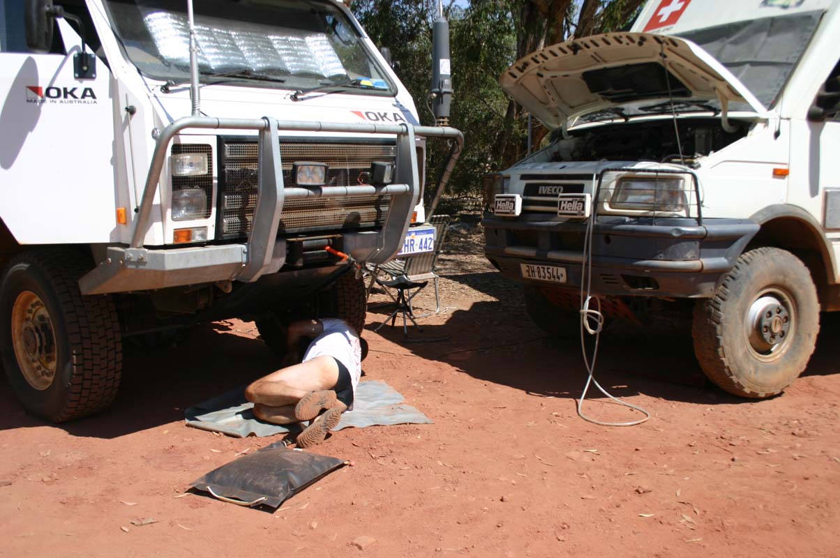
While Susi is cooking dinner the Wallas cook top stops working.
Ruedi has a quick look and means that this looks like a bit
more work and will have to be done on Friday, when we meet
with Monika and Fredy. So much for a hot meal .... bread and
butter+ are fine too as it is still hot.
During the night we can hear animals coming to the water
for a drink but we cannot see them. At one time it sounds
like horses having a bath in the billabong.
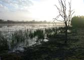
In the morning fog covers the lake but gives way to another
sunny and hot day.
We are getting used to this weather, cool nights with temperatures
just a bit below 20°C and day temperatures in the mid thirties.
It is already Thursday, September 14,
and we have to get moving if we want to be in Borroloola
by Friday.
As we travel along the Savannah Way suddenly something brown
and hairy jumps in front of the truck just a few meters in
front of us.
Ruedi hits the breaks but has no chance ...
we have committed our first road-kill ... we feel pretty
lousy.
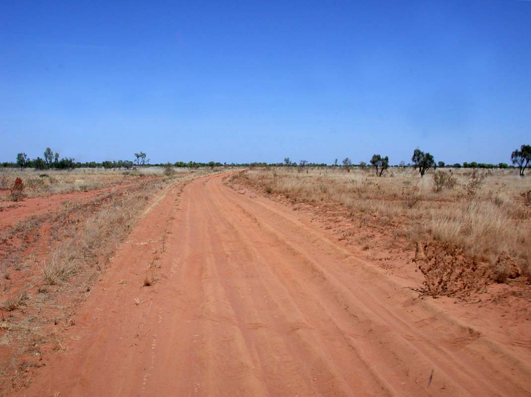
In the map we find a 4x4-only-track along the billabongs
to the Wadamunga Lagoon and marine swamp that looks interesting.
At the beginning the dirt-road is easily visible
but as we drive along it gets narrower and
the washouts get deeper and deeper.
Then we cannot find a turn-off, all we see are vehicle tracks
on the grass. As the tracks match the direction given on the
GPS-map we leave the dirt-road and follow these tracks.
They have a strange width, not standard "Toyota"-width that
one would expect out here.
The tracks gets fainter and fainter, at some places it is
almost washed away and we have to be care full with the OKA
not to slide off the road and roll over.
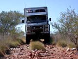
We cross a creek bed that is almost as high as our tyres.
The OKA handles it beautifully, we are impressed.
Click here  to view the movie. to view the movie.
Then we loose the track completely. As this is a proposed
national park one is not supposed to create new tracks so
we decide to turn and go back to the dirt-road.
When we get back to the dry creek we realise that the angle
of the embankment on this side of the creek is much steeper
than the one on the other side.
Due to the spare tyre the departure angle in the back is not
as good as the front one.
As we cannot find any other place to cross the creek close
by Ruedi decides to cross at the same place. Susi gets out
to film it.
Slowly the OKA makes it down the embankment with the front
wheels. Then Ruedi accelerates to have enough momentum to
get up the other embankment.
The back wheels
start sliding down the embankment and the
spare wheel gets hit so badly with the full load of the OKA
and its back-section that Susi feels the earth tremble where
she is standing and filming.
Click here to view the movie.
Well, there was not too much damage done, just the second
last chassis cross-member got bent.
But one has to see it from the good side too: the departure
angle has been improved a bit ;-)
We continue travelling on the Savannah Way and find a brand
new bush camp with toilets at Towns River.


The view is great, there is even a place to water boats.
But there are crocodiles ... large warning signs remind you
all the time.
We continue towards Limmen Bight Fishing Camp,
hoping to get some water.
They have a bowser with Petrol, Diesel is sold by the cherry
can.
The fuel is close to 10 cents cheaper (yes, cheaper!) here
than it was at Roper Bar.
The shop is not too well stocked but maybe that's because
it is already out of season.
But they don't really have lots of water so we decide to carry
on and look for a creek or river with fresh water.
We would like to camp at the 4 Archers but somehow can't
find the track leading to it.
We follow another track that goes in direction of the river
and find a nice camping spot.
We find ourselves more or less on the other side of
the 4 Archers.
The river banks show many tracks of crocodiles.
It is quite frustrating being in crocodile country but not
seeing a single crocodile, not even from far away.
We are
still too much "degenerated tourists" and don't
know how to look out for crocodiles.
Maybe one would see them
better during the night?
But we are chicken (or call it cautious). As
our instincts would not warn us on time we decide
not to leave the truck during the night.
It is already Friday, September 15, and we are supposed
to meet Monika and Fredy in Borroloola tonight.
This is not realistic so we send them an SMS via Satellite-phone
telling them that we will be a day late.
They reply that they got "stuck" in Hells Gate Roadhouse
and will be a day or two delayed too.
Great, this gives us more time to explore the Savannah
Way.
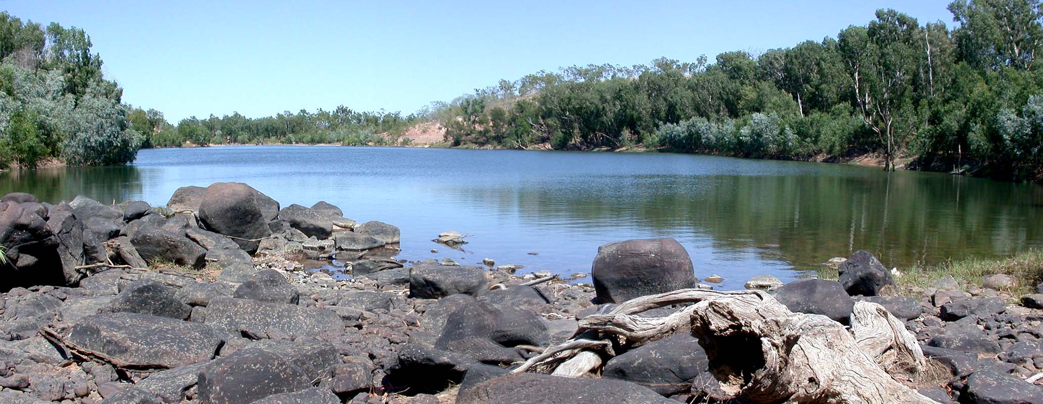
At the Limmen Bight River Crossing we find
a simple campground with toilettes but find the bush camps
on
the rivers embankments
much nicer.


There are large flocks of Double-barred Finches (Poephila
bichenovii) getting a drink.
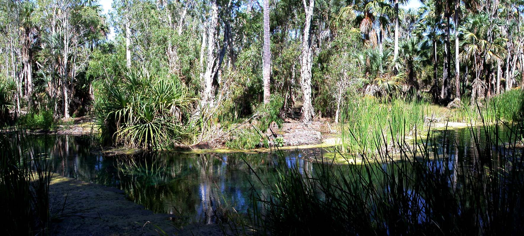
We continue and hope to get water at Nathan River.
The water does not look to good so we decide to go to Butterfly
Spring. It is the only place all over the Savannah Way where
one can swim in a water hole without having to worry about
salties.
Again the track shown on the map that leads to the springs
does not exist anymore. We can see the old track but it is
overgrown.
We find a stretch of grass that allows us to cross over to
the track but it looks not used at all.
The only tracks we can see are again those non-standard-width
tracks.
As we find out later, these smaller tracks belong to the rangers
Quad.
We decide to go back to the main road and just press on in
direction of Borroloola.
Soon after we see a brand new sign pointing to Butterfly
Sprigs Campground.
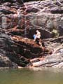
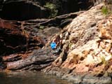
We find a small campground with new toilets but no water.
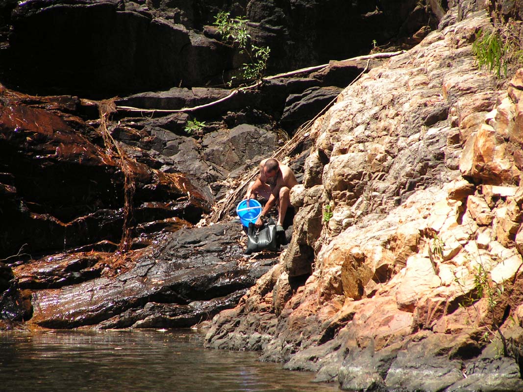
As we explore the area we see a water hole with a small waterfall
feeding it with fresh water.
This is perfect. We decide to stay and get water from the
waterfall.
After a great afternoon of swimming back and fourth to
the waterfall getting water we have full tanks and feel
refreshed.
Click here to view the movie.
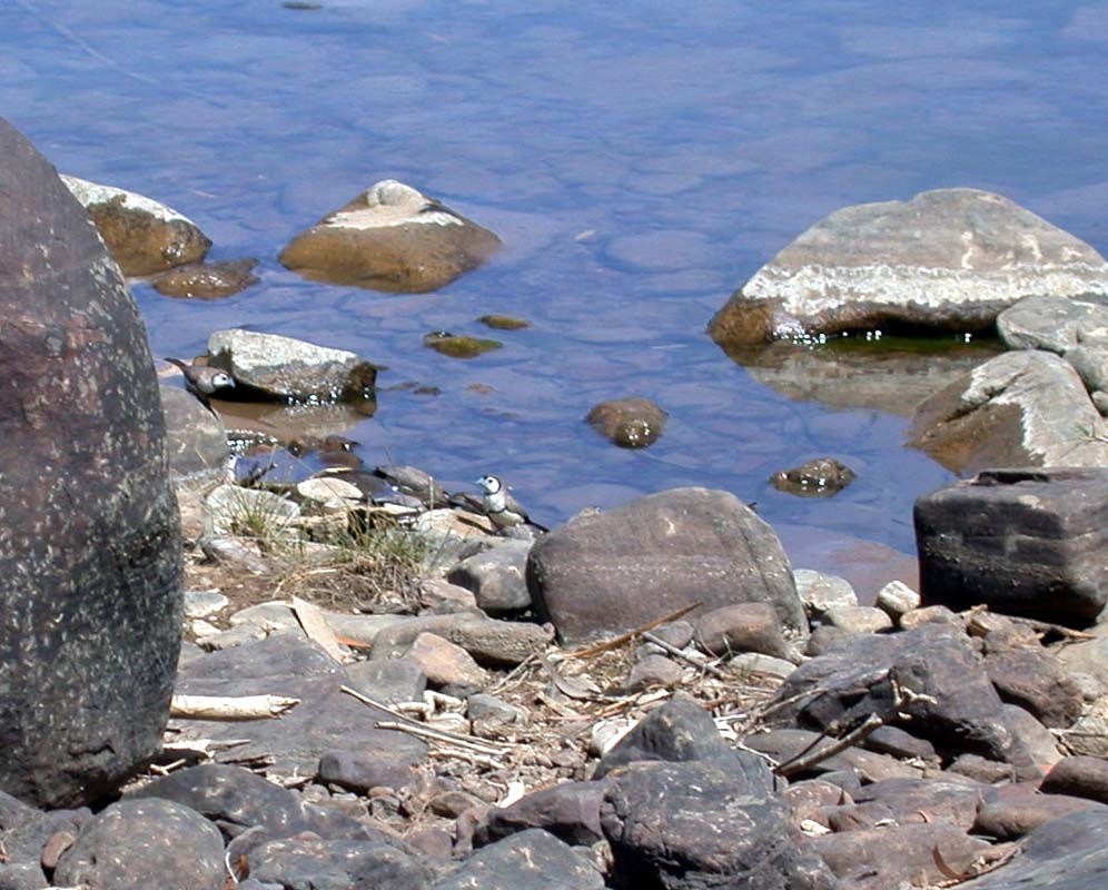
The ranger and his family come for a swim too. As he watches
us filling water bag after water bag he asks what we are
doing.
After we explained it to him he offers to get the water at
the ranger station. He likes a visit every so often.
Well, we will visit him next time.
The ranger also helped us identifying the birds visiting
the water hole.
This time we are sure that we saw a Pheasant Coucal (Centropus
phasianinus).
Click here to view the movie.
While Ruedi takes the Wallas cook top apart Susi cooks on
the Cobb. That little grill is very versatile and the bread
you can bake on it tastes great.
Luckily the clogged up stove can be fixed and the cook can
move back into the fly screen protection because there are
march flies at Butterfly Springs.
As the night comes we hear many new animal voices.
Especially
the frogs are very active and can easily be watched.
We are so impressed with Butterfly Springs that we mail
Monika and Fredy and tell them to come here.
We give them the exact GPS position and they plan to be here
in the evening.
It is another hot day with temperatures reaching 38°C.
The water in our "washing machine" (a black 30
lt watertight bag from Ortlieb that is laid into the sun
and shaken
by every person walking past) gets so hot that Susi has
to wear gloves to remove the clothes for rinsing.
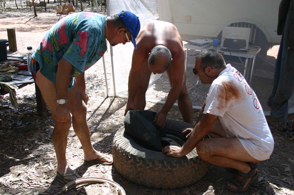
Monika and Fredy arrive late at night and the next morning
friends of them, Ueli and Trudi, also arrive.


So we all gather together and get
organised. Monika and Susi exchange photos from our last
get-together in Perth and Alice Springs, the men
work on the vehicles and Trudi reads.

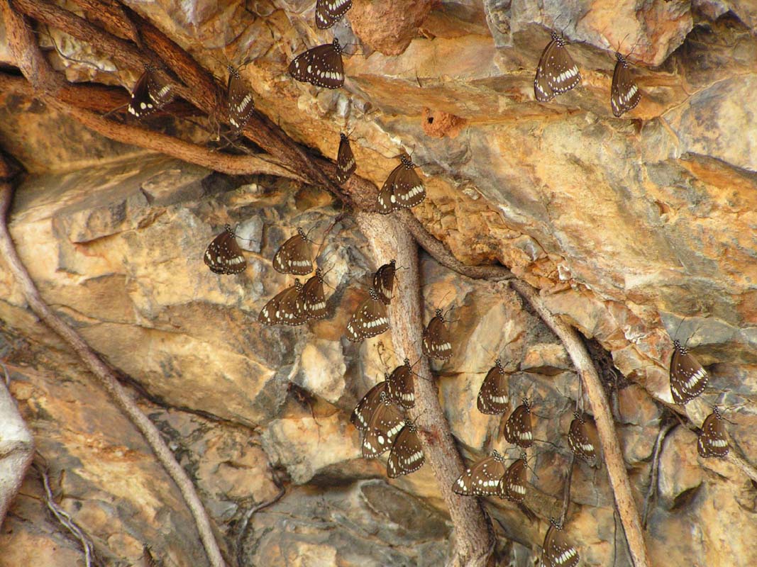
Monika
and Susi
go butterfly watching. There are thousands of butterflies
at the springs.
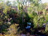
Over night they sleep in the trees.
During the day they move over to the walls around the water
whole. The walls look like if they are alive because of the
constant moving around of butterfly wings.
We decide to hike on top of the hills the next day. Because
of the heat we will have to get up early on Monday morning.
We are not used to this anymore and with a bit of whining
and complaining we leave the camp.
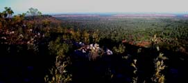
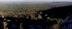
The views are great but it gets hot
soon and we are glad to go back to our water hole.
Luckily we need water again and have to swim a few times through
the water hole to the water fall. Isn't life treat one hard
sometimes?
On Tuesday, September 19, the group splits up, Monika and Fredy and also Ueli and Trudi head north and we continue
our way to Alice Springs.
In Borroloola we get Diesel. Thanks to a
tip from Monika we visit the shop in Yanyula
that is much better stocked than the one in Borroloola.
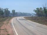
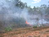
We continue travelling on the Tablelands Hwy.
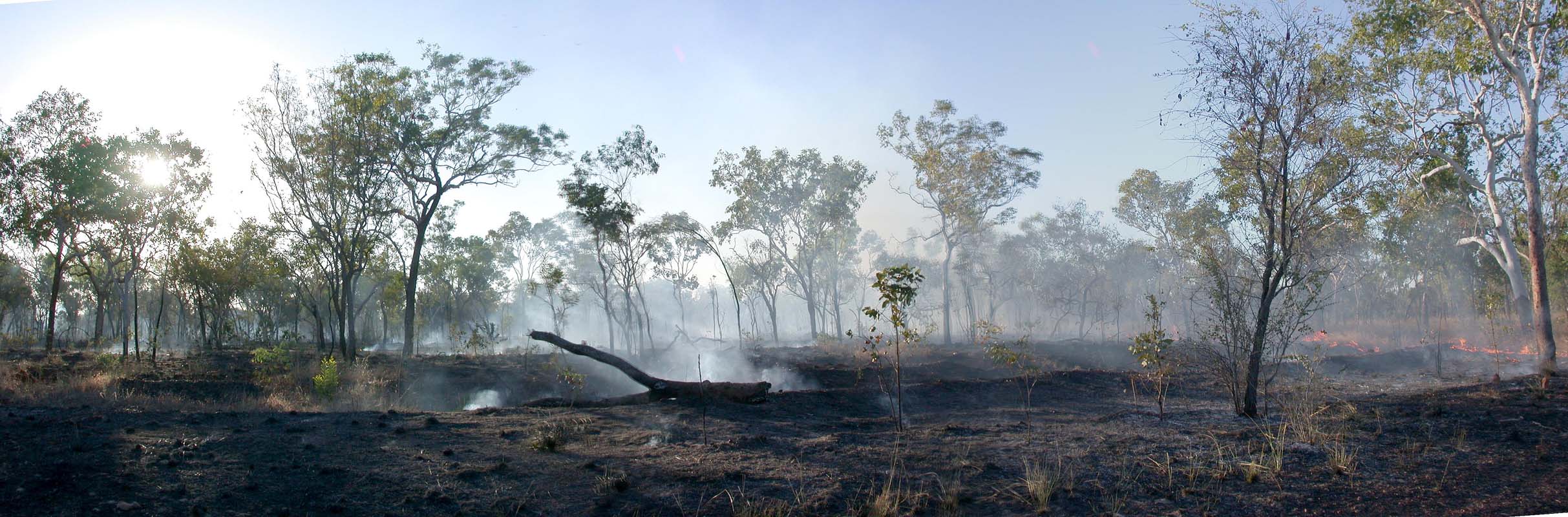
With
temperatures in the high thirties again and no rain yet
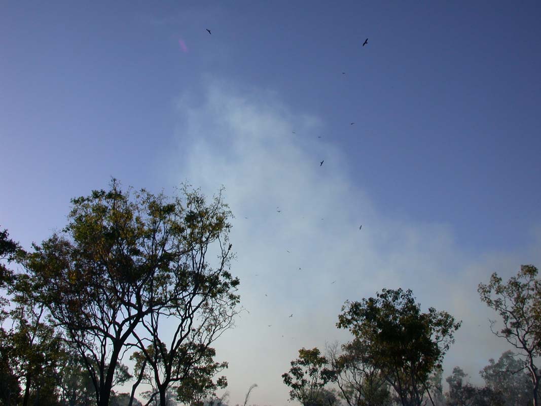
all is dry. It doesn't take
much to start a bush fire.
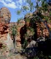
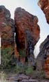

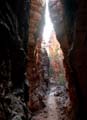
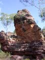

We change over to the Carpentaria Hwy and visit Caranbirini
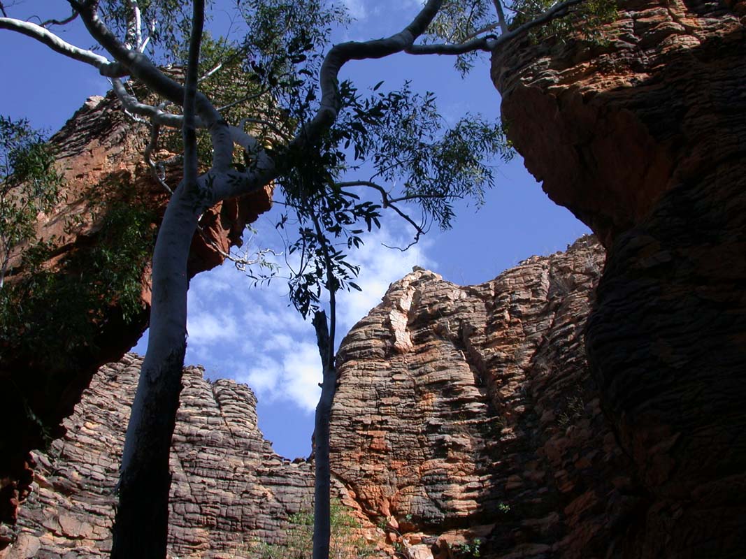
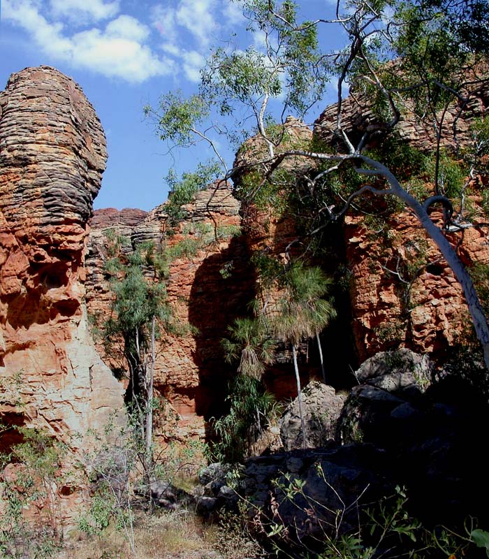
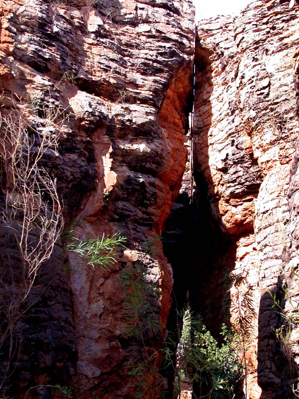
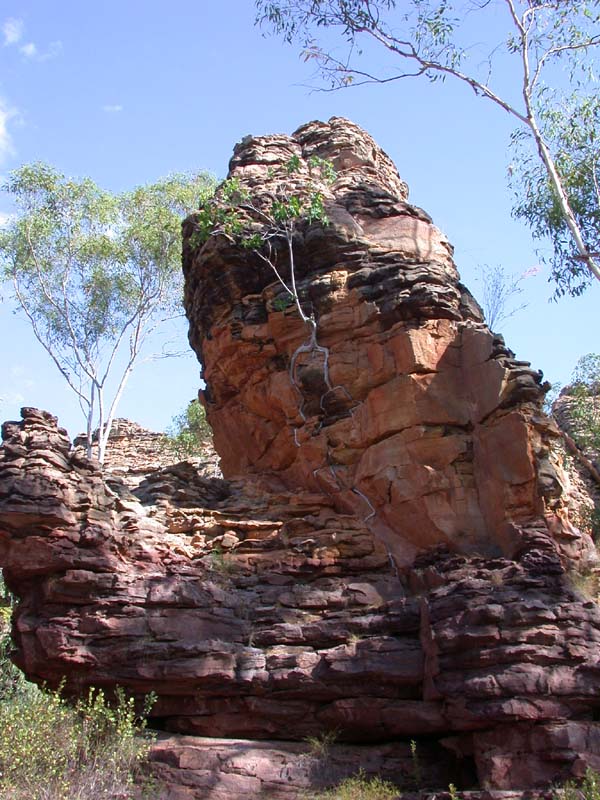
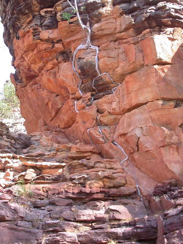
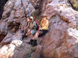
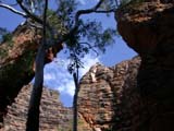
Conservation Res.
We find it fascinating to walk between these walls
of
stone.
Sometimes it looks like somebody cut through the stones with
a knife.

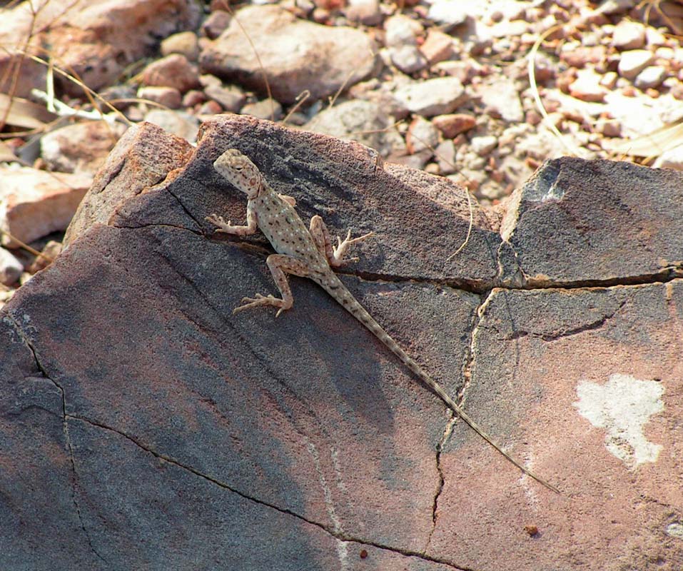
The water hole is not well visited but we find a Prying
Manta and a lizard that we think is a Central Military
Dragon (Ctenophorus
isolepis).
Please correct if we are wrong.
It is a shame that camping is not allowed at Caranbirini
Conservation Res. but we soon find a
nice little spot close to the river to stay over night.
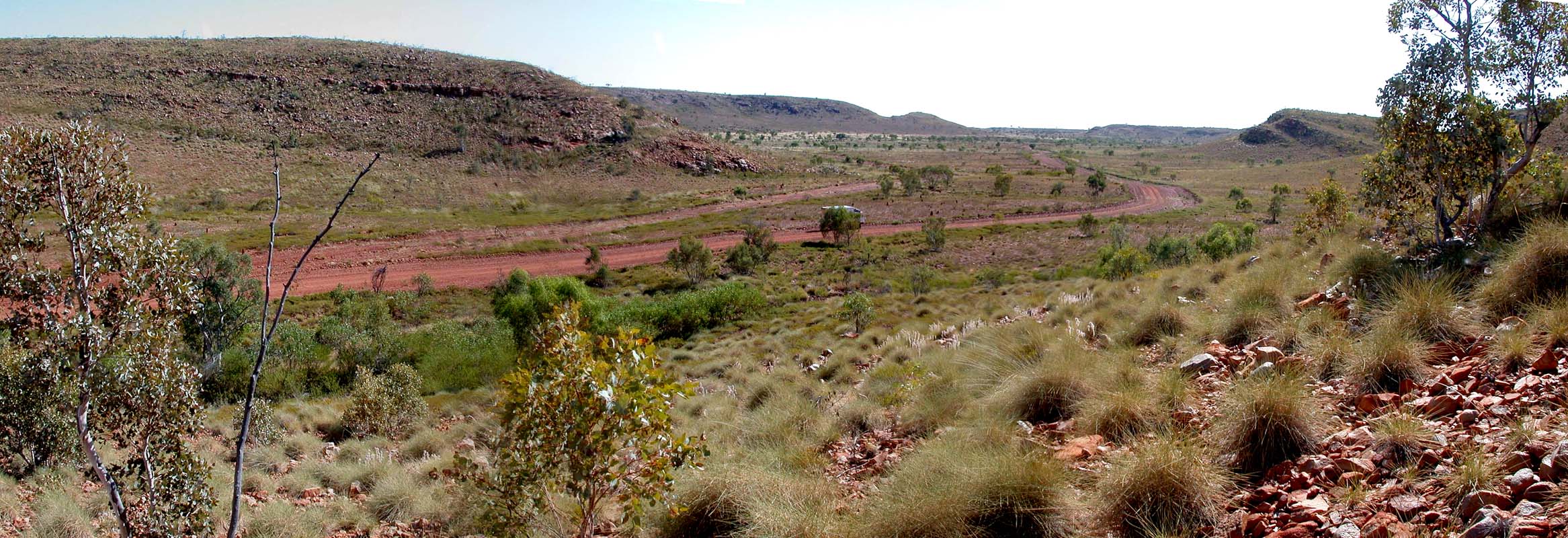
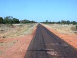
Travelling further south we find that soon after the McArthur
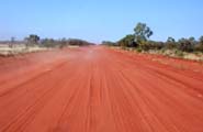
Mines the road gets narrower and the condition deteriates.
Looks like the road has been sponsored by the mine ....
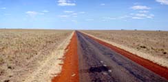
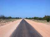
The guide book says that the Nullarbor is the loneliest
road in Australia. We disagree, it must be the Carpentaria
Hwy!
It is an endless stretch of road over a flat, mostly treeless
tableland, no animals on it, nothing.
The heat (41°C) seems to reflect from everywhere and it
feels like being in an oven.
We can watch a few willy willies, one of them quite large
and its dust cloud visible until high up into the sky.
In Cape Crawford we get some Diesel and
are surprised how much dearer it is than it was in Borrolloola.
Note to the reader: Cape Crawford is not as one would assume
on the coast, it is actually quite a long way inland. Some
explorer saw the headland and thought that it was the coast
...
With our travelling speed being only 70 kmh we get passed
by a few cars. One of them is a Commodore full of people.
Soon later we get passed by two utes and have a short talk
to them on the UHF radio.
A few minutes later we
hear them on the radio again discussing a car on the side
of the road that seems to have a problem.
But they recon that they got the tools and continue their
way.
A bit later we see the Commodore on side of the road. The
woman flags us down. The jack in the car
is missing a peace so she cannot change the flat tire.
Ruedi assist and soon the Aborigine family (2 women and
12 children) are fine to continue their trip.
They tell us that they are on the way to Barkley Homestead Roadhouse
to meat up with the family.
The older lady comes over and wants to give us a present.
It is a linen bag with something that moves. She opens it
and out looks a Joey with large scared eyes.
Susi's heart flies out to the poor little thing. But reason
tells us that we shouldn't accept it as without any proper
milk and baby bottles it would soon die.
So we tell the ladies to take it along to Barkley Homestead Roadhouse.
Slowly we continue travelling and find our way to the
Lower Amazon Lagoon (some ca.50 km north of Barkley Homestead Roadhouse) and stay over night.
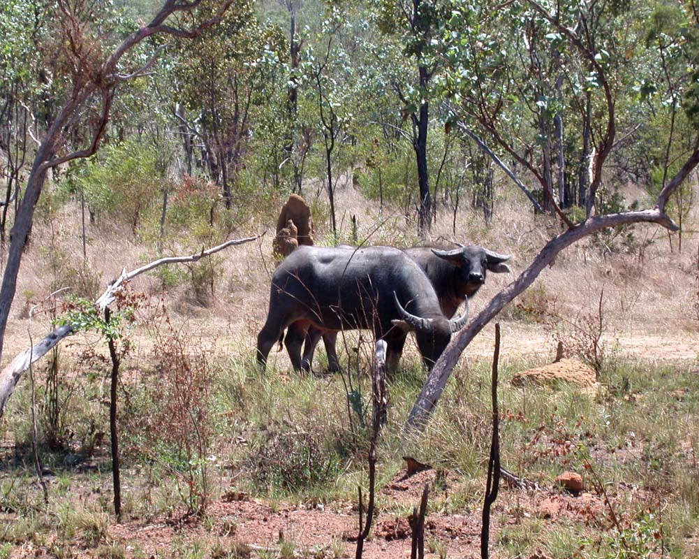
The lagoon is well visited by birds and kangaroos. In the
evening the cows come for a drink.
The sunset over the lagoon is very beautiful, the sun reflects
in the water.
Every so often we hear planes. This sound odd as we are
out bush, Alice Springs is still hundreds of km away.
It looks like we are in a direct line between two airports.
We realise how we are not used to noises like this anymore.
Luckily the temperatures over night still drops to approx.
17 - 19°C making sleeping really comfortable.
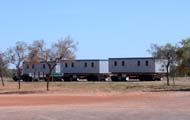
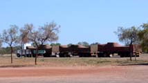
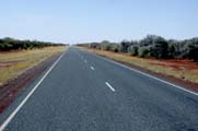
On Tuesday morning we get Diesel at Barkley Homestead
Roadhouse. After having been out bush for a while
it is strange to see all these road trains. Mind you Barkley
Homestead Roadhouse lays on the Barkley Hwy, the bitumen connection
road between the Northern Territory and Queensland and is
well travelled.
We travel 11 km towards Mt. Isa and then turn south into
a small 4WD Track towards the Old Police Station
Waterhole.
There is no sign but the car tracks on the bitumen show that
there is regular traffic coming on to the bitumen.
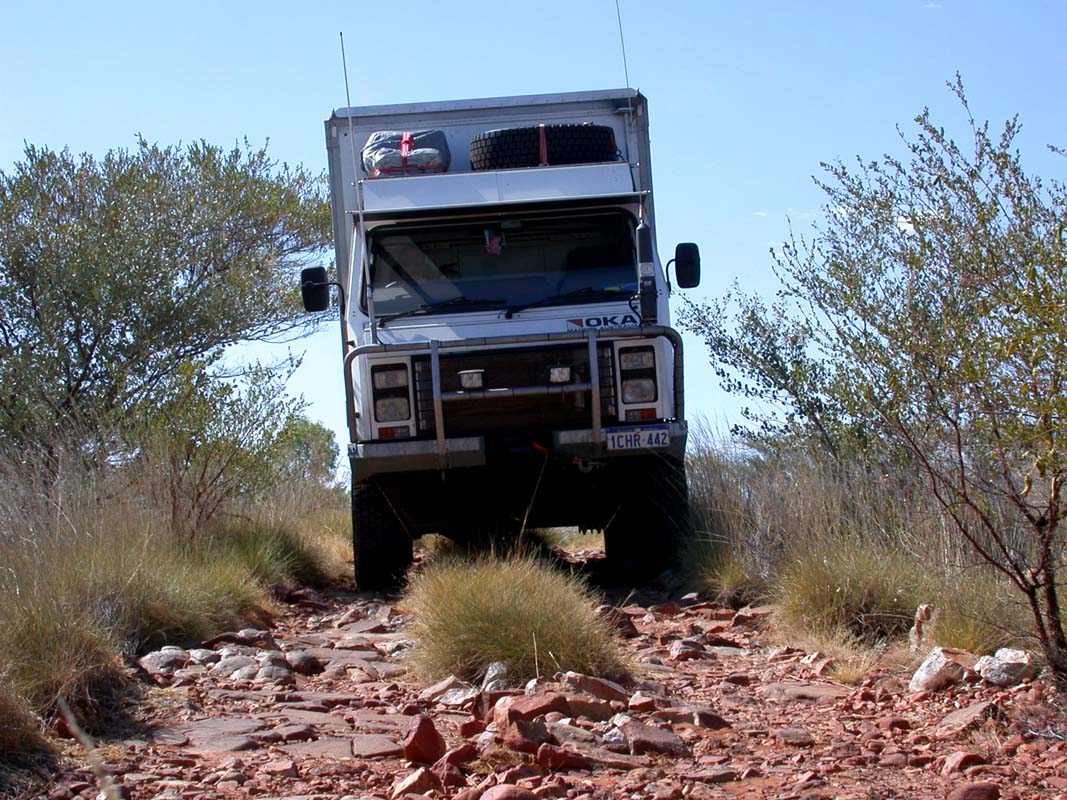
We lower the tyre pressure and find a problem with the front
right tire, we can only lower to 56 PSI. Let's hope we don't
get into sand ....

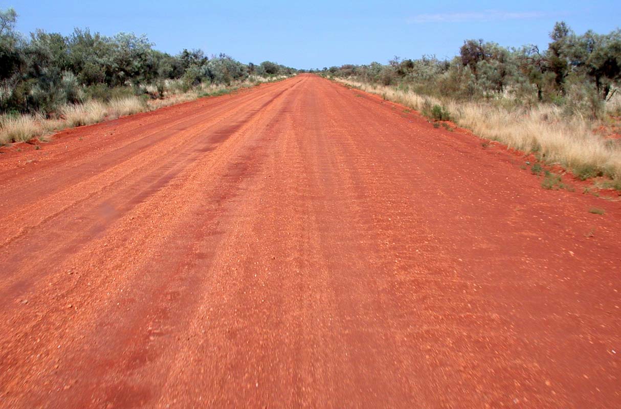
The track soon becomes narrower and corrugation starts. Between
Purrukuwurru and Walkabout Waterhole we hit the bull dust
for almost 20 km.
It
is a hot and dry day with 41°C and the dust just seems
to stay in the air.
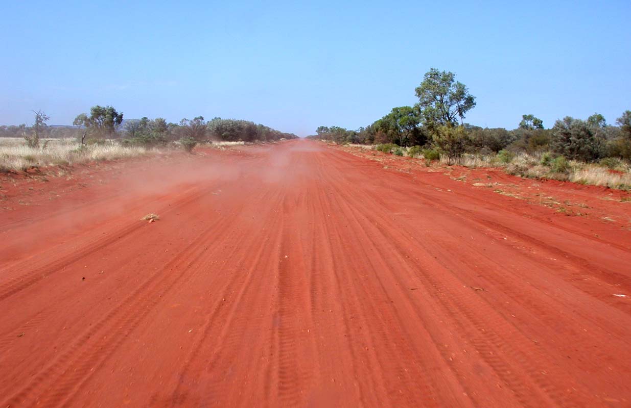
We see a dust cloud coming against us and wonder if it
is a really large willy willy.
But it turns out to be a HiLux travelling
on the bull dust. The ute seems to float or to glide
through the dust.
Dust keeps squirting out of his wheel arches like if it
was water.
It looks so good that we forget to grab the camera. What
a shame, it would have been a good object to explain what
bull dust really is.
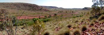
We reach the Davenport Ranges and choose the 4WD track down
to the Frew River. There we find a nice camping site
right at the waters edge close to the Old Police
Station Waterhole.
There is still lots of water left in the river. One
could go for a swim but there is algae.
Even if the day's temperature has reached
39°C the water is to cold for Susi.
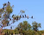
There are many flocks
of Cormorants all over the place.
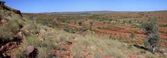
On
Friday we continue travelling south. The ranges are very
beautiful.
After one of the many creek crossing we start seeing traces
of liquid on the dirt track, like of something was leaking.
After the next crossing the leaking gets stronger. Ruedi
recons that we will soon see a car standing on the side of
the road.
Sure enough, we find an old Falcon. The engine is still warm.
We follow the road and a few km later we find 3 sweating Aboriginal
men walking along the road. We offer them help and they accept
a lift to their ranch, just a few km away.
There we fill a few buckets with water for the radiator of
the car. We are also allowed to fill our water tanks with
excellent water.
We return to the Falcon, fill the radiator and the car starts
instantly. As no instant flush of water occurs they think
they can make it to the farm, so we say goodbye and continue
our way.
Thanks again to David, his brother and his
uncle for the water. And next time, we will stay for the party
at Canteen Creek!
As we travel further south we reach the Hatches
Creek Mine.
It's an interesting place to visit but watch out for the
underground tunnels!
Later on we find a nice little water hole for lunch before
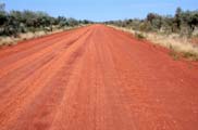
reaching the Sandover Hwy.
Well, we would not call the Sandover a highway at
all. The road is in such a bad state it's just unbelievable!
The corrugation
is not the worst thing, it's the holes in the road, the
sharp edges of where there must have been some surface
cover that
has been worn off.
Driving on the Sandover is like constantly
having to look out for the best way to avoid pot holes.
As it is too dangerous to drive on the Sandover at dusk
or night we decide to camp out bush even though we are only
100 km away from Alice Springs.
We find a nice and quiet spot close to Mt. Skinner.
The night does not really cool off, it is muggy and the
temperature stays at 23°C. So we get up early and start
packing up.
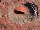
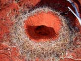
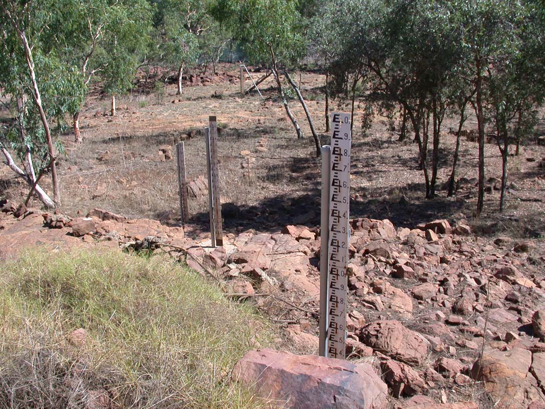
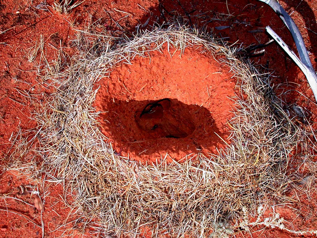
When checking the surroundings if nothing was been left behind
we find these mounts.
Guess what it could be .... no, it's not an ants hill.
Click here to find out who lives there.

Slowly but surely we make our way back into civilisation
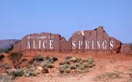
and reach Alice Springs.
|