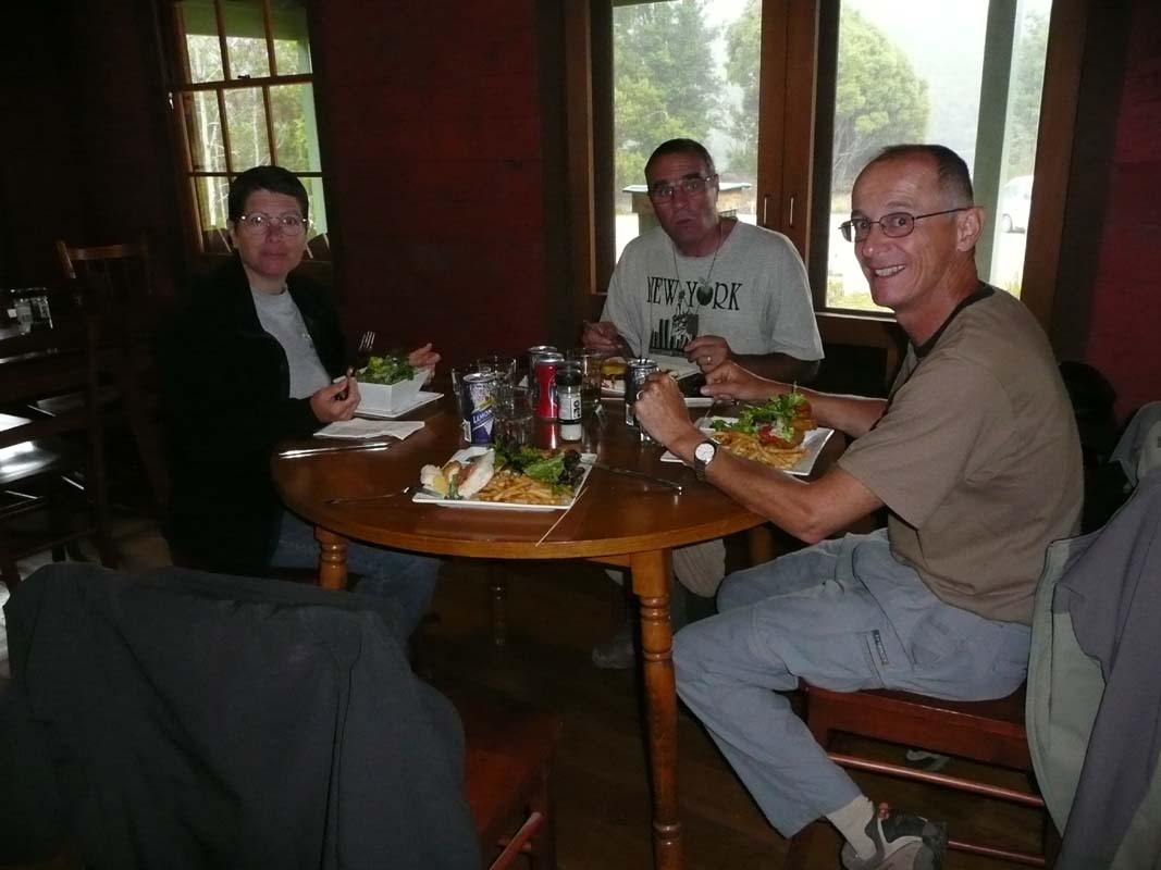
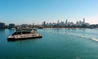
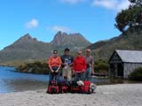
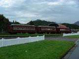
On Sunday, January 25, 2009, we get up before six and
leave Paul's house towards Melbourne and
the ferry terminal.
It is rather fresh but the weather forecast is for fine weather
and the trip over to Tasmania should be a nice one.
We plan to have breakfast at the terminal.
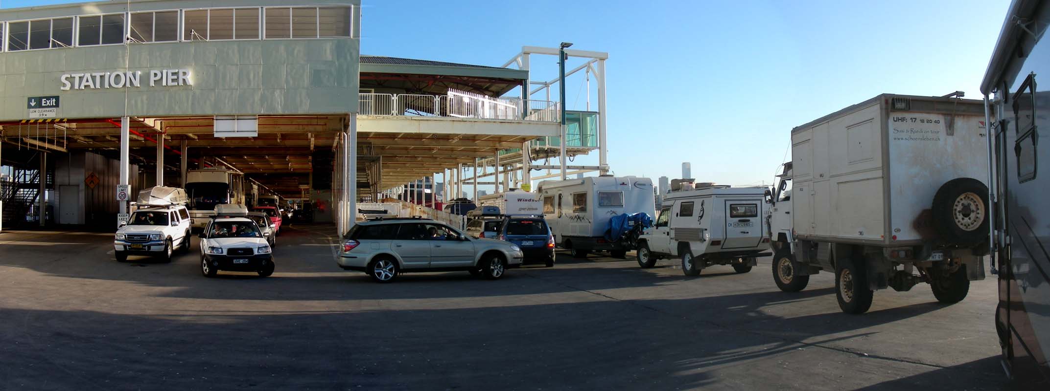
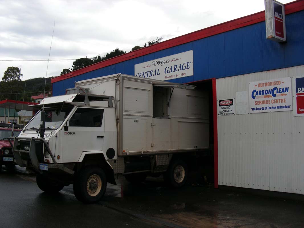
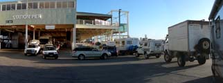
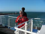
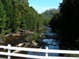
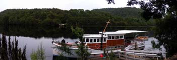
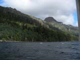
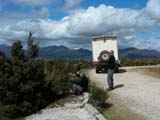
When we reach the Station Pier, where the Spirit of Tasmania
leaves from, there are campers and caravans all over the
place.
People must have slept here.
Thanks Paul for offering us your place for the night, made
things heaps more comfortable for us!
We are guided through the security section where gas bottles
are inspected, motors checked (what for we don't know ...)
and quarantine questions asked.
Even an inspection of the inside of the camper is performed
... but we guess that is more for them to see nice campers
from the inside too ...

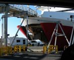

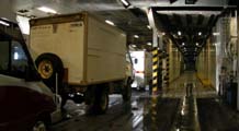
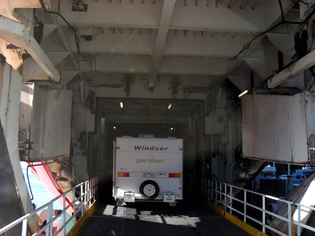
The queue is long and moves slowly.
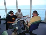
After boarding we head up to deck 9 and find ourselves a
nice table where we will be able to work on our trip.
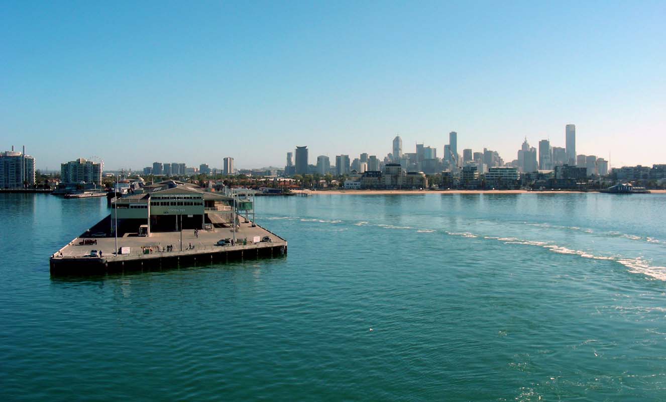
The trip over to Tasmania is quiet; the
small swell causes no drama.
We pass time with lunch (great Lasagne!), afternoon tea,
ice cream .....
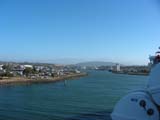
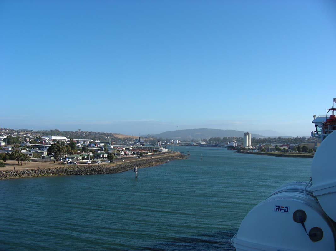
With almost one hour delay we reach Devonport and
pass quarantine with no issues.
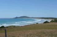
According to the Devonport Tourist Map we can stand at
Coles Beach, right at the beach.
We navigate to it and pass a few fuel stations ..... diesel
is at a shocking price of 1.35!
Shame we did not find the time to fill up in Melbourne, where
the diesel was 1.19 .....
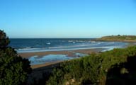

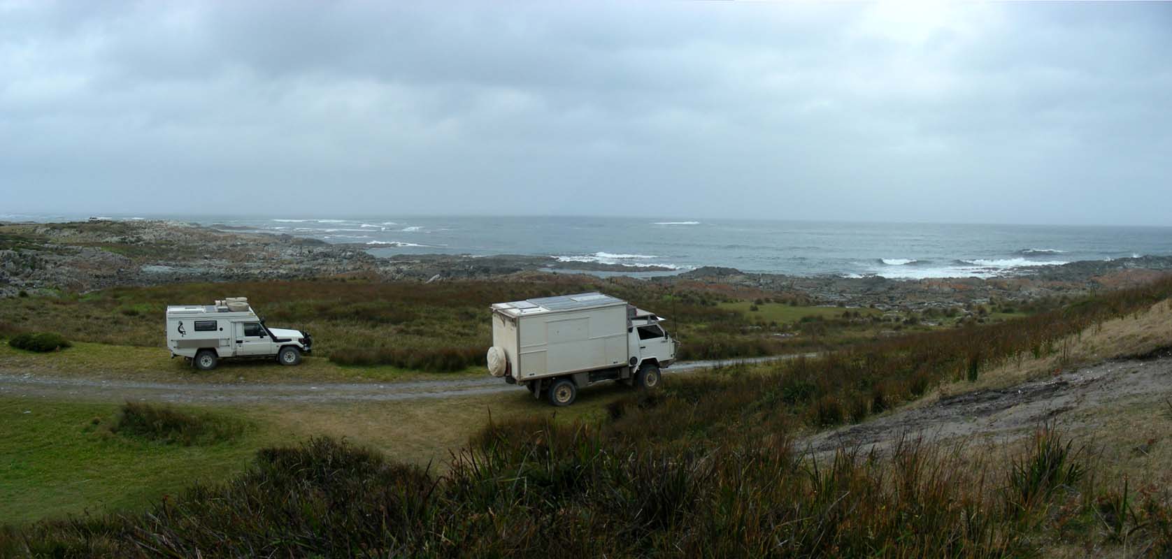
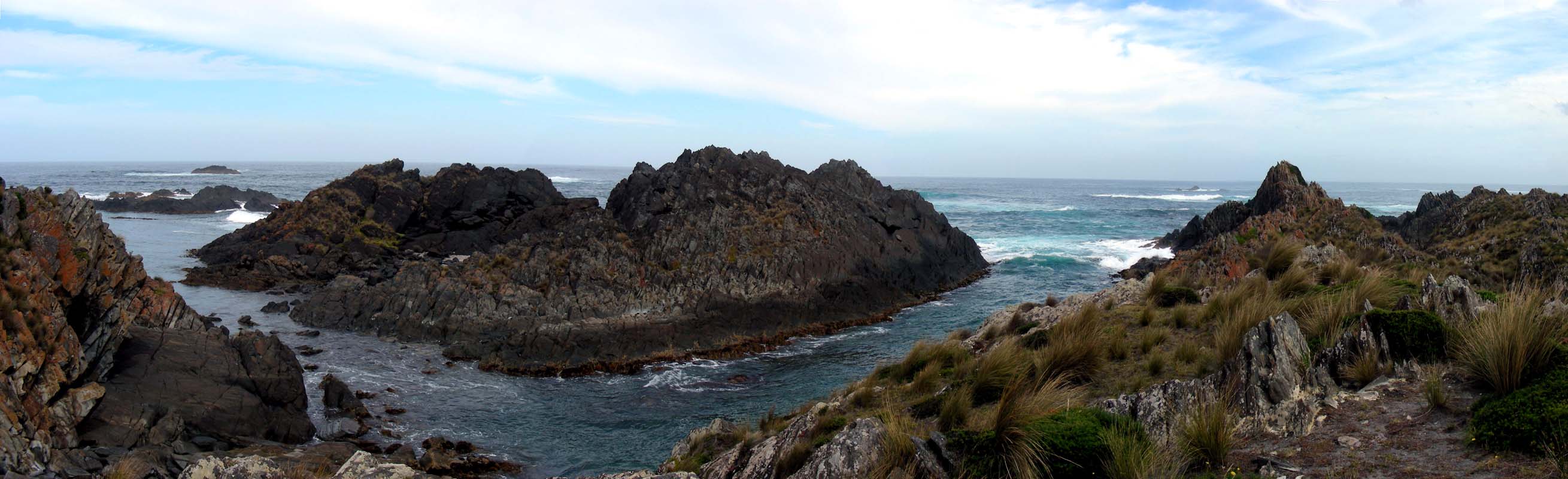
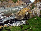
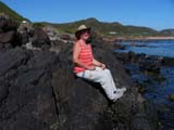
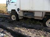
We reach Coles Beach and find a great
spot without a "No camping" sign on it.
Actually it is for free for self-contained vehicles like
we are.
Super!
On Monday we head into town for some shopping.
Even though it is Australia day, the major shops are open.
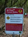
Then we head out towards Cradle Mountain.
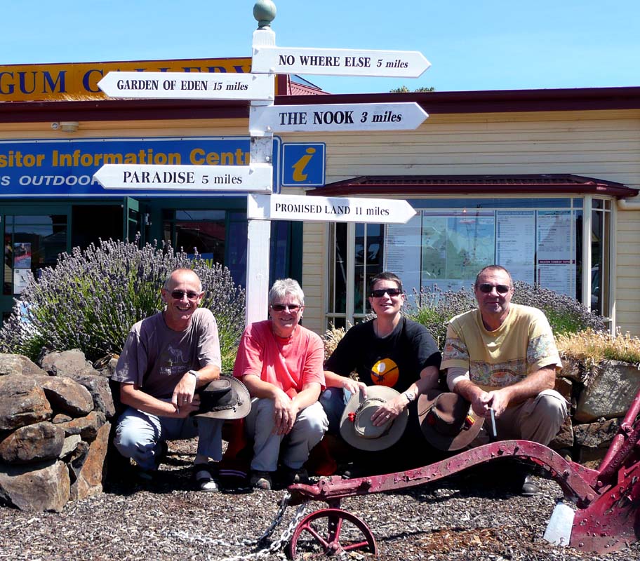
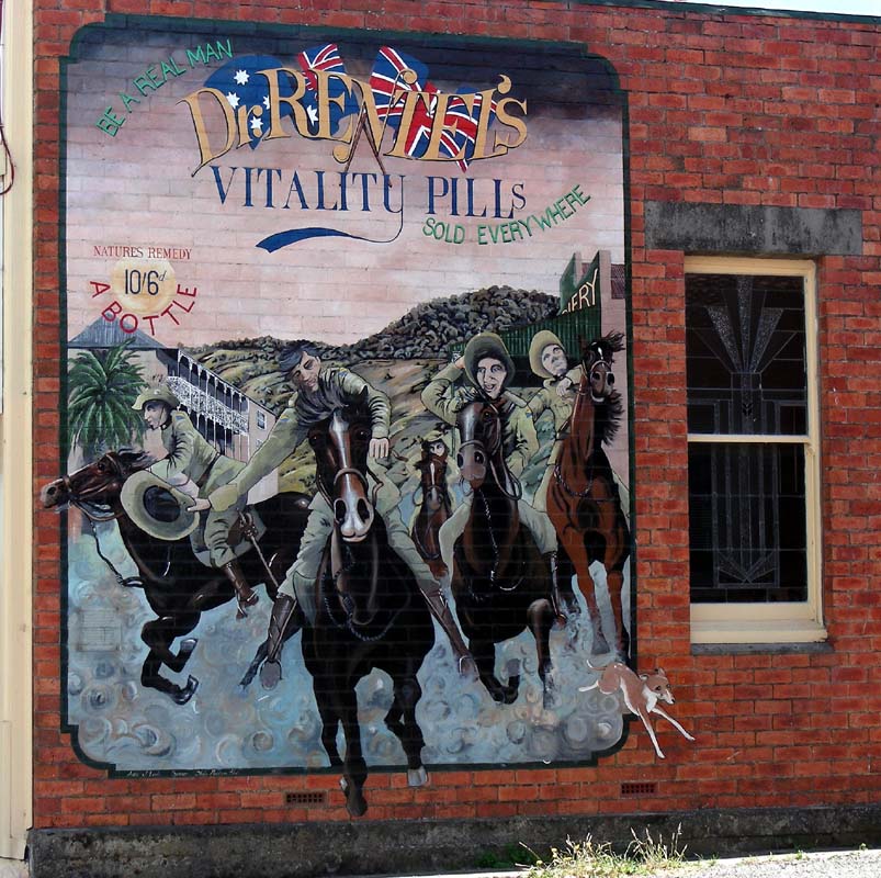
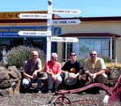
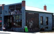
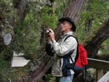
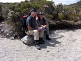
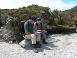
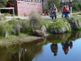
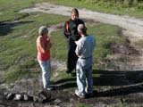
In Sheffield we visit the Tourist Information
office to get more information on the local walks.
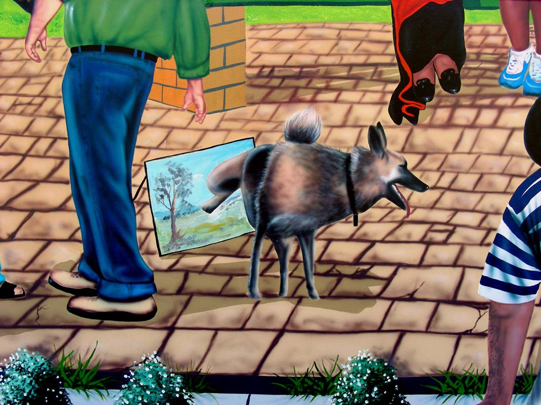
We also want to visit the famous murals and the Marble Gallery.
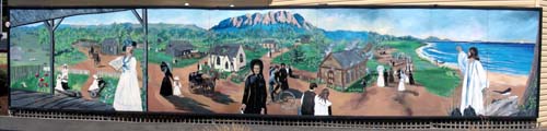
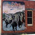
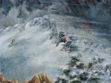
There is one mural already along the visitor information
centre's wall that is quite interesting.
For some
details
on this mural please click here.


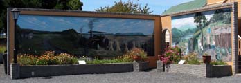
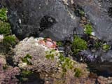
They also have a competition going on the picnic area just
behind the centre.
Out of the many displayed there these are the ones Susi likes
best.

The humour in this one is just great!
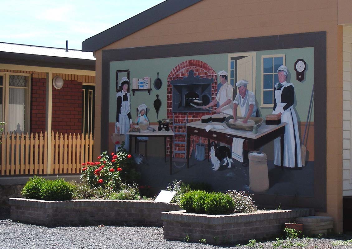
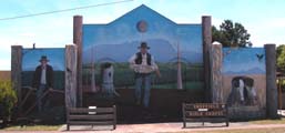
Soon we are on the way looking at the cute town and some
more murals.
This is the oldest one.
For some
details
please click here.
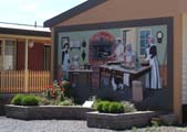
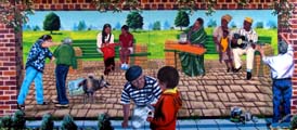
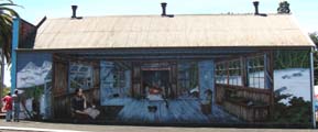
We did not have the time to have a look at all but the ones
we saw were amazing.
Some of them are actually reflecting the usage of the building
they are painted on.

This one is special.
A lot of cute details are hidden in it and can only been
seen on a closer inspection.
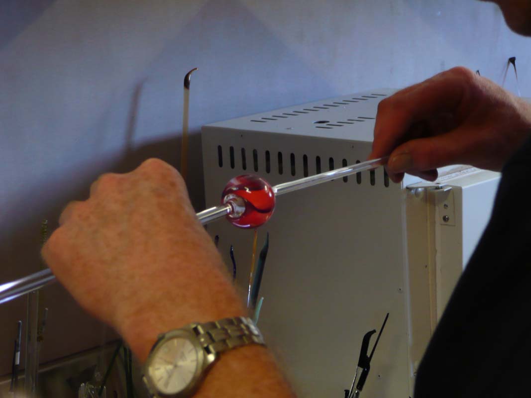
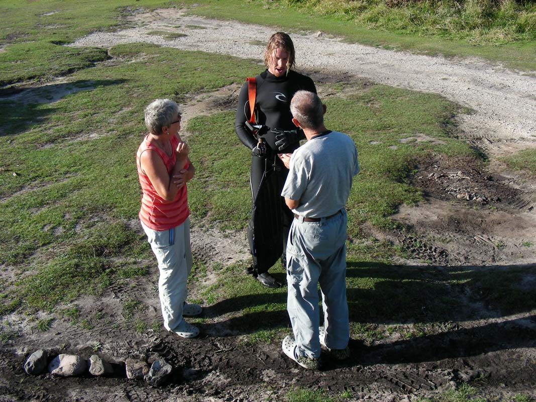
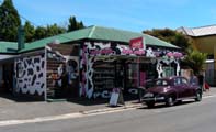
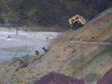
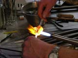
Then we reach the Marble Gallery and get stuck.
The lady that owns the gallery not only generates small pieces
of art with her marbles, she is also a very gifted painter.
Check out
www.worldofmarbles.com.au
...

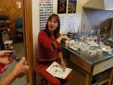
Susi falls in love with a very pretty picture of glass
marbles.
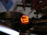
When talking to the artist Jay Clay she tells us that she
will be making a marble in a few minutes.
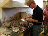

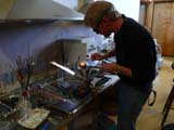
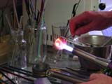
Then her neighbour, the local vet, walks in and they decide
that he will be creating a marble as he is an artist too.
It is great to watch such beautiful things being created.
Click here  to view the movie. to view the movie.
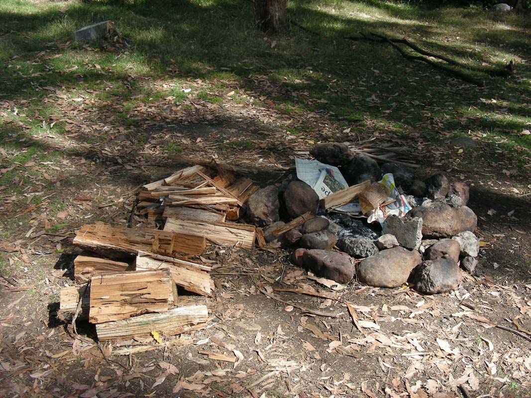
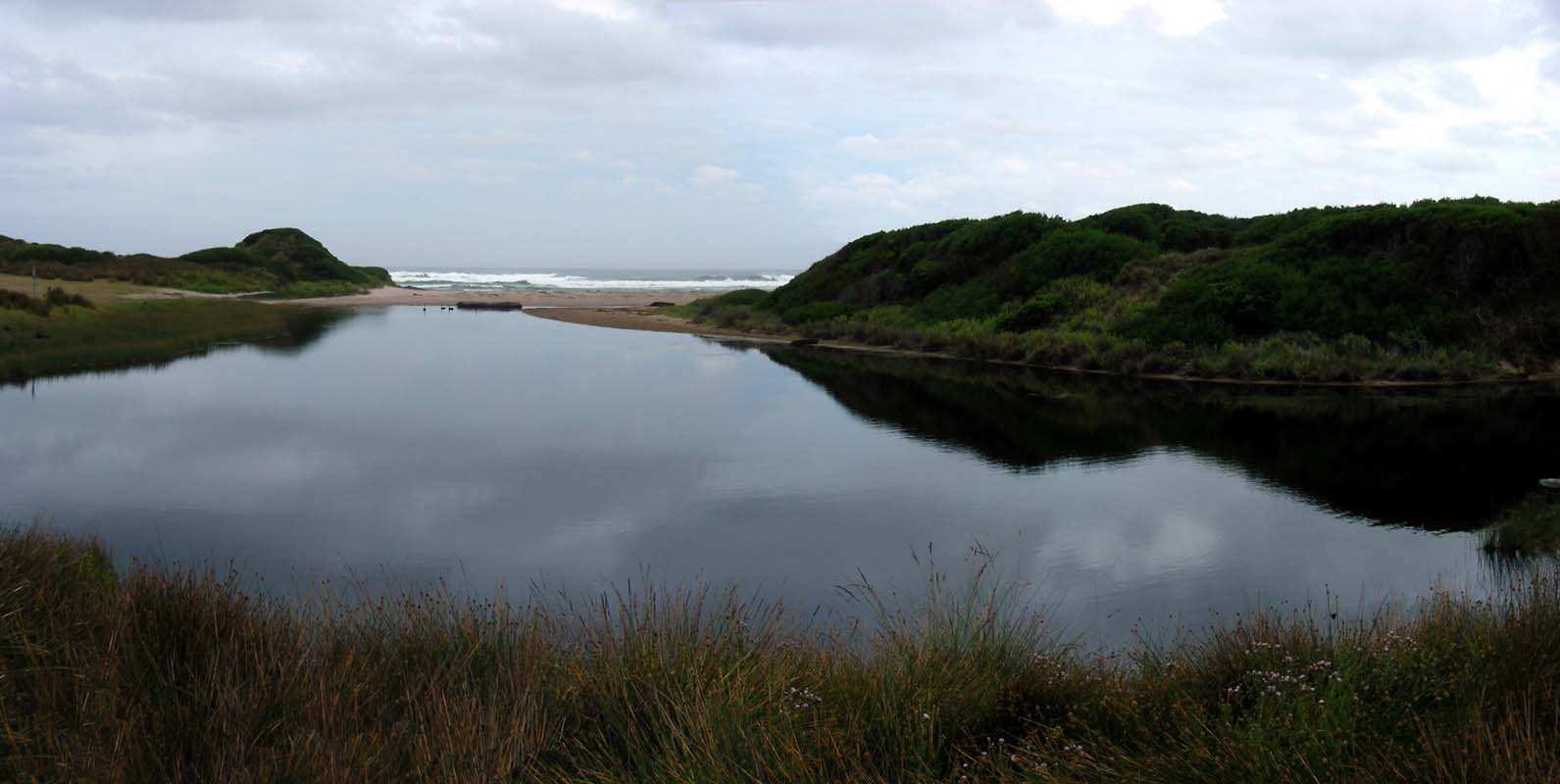
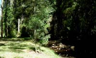
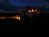
Then we head out to the O'Neil Reserve,
a grassy area besides a little creek, where we can stay for
the night for free.

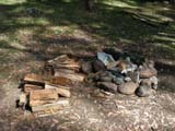
Even the fire wood is provided!
We love Tasi; it is so tourist-friendly.
On Tuesday morning we wake up to an overcast sky.
The weather does not look too promising and it is windy and
rather cool (11.5 °C) day.
As the weather forecast had said that today was going to
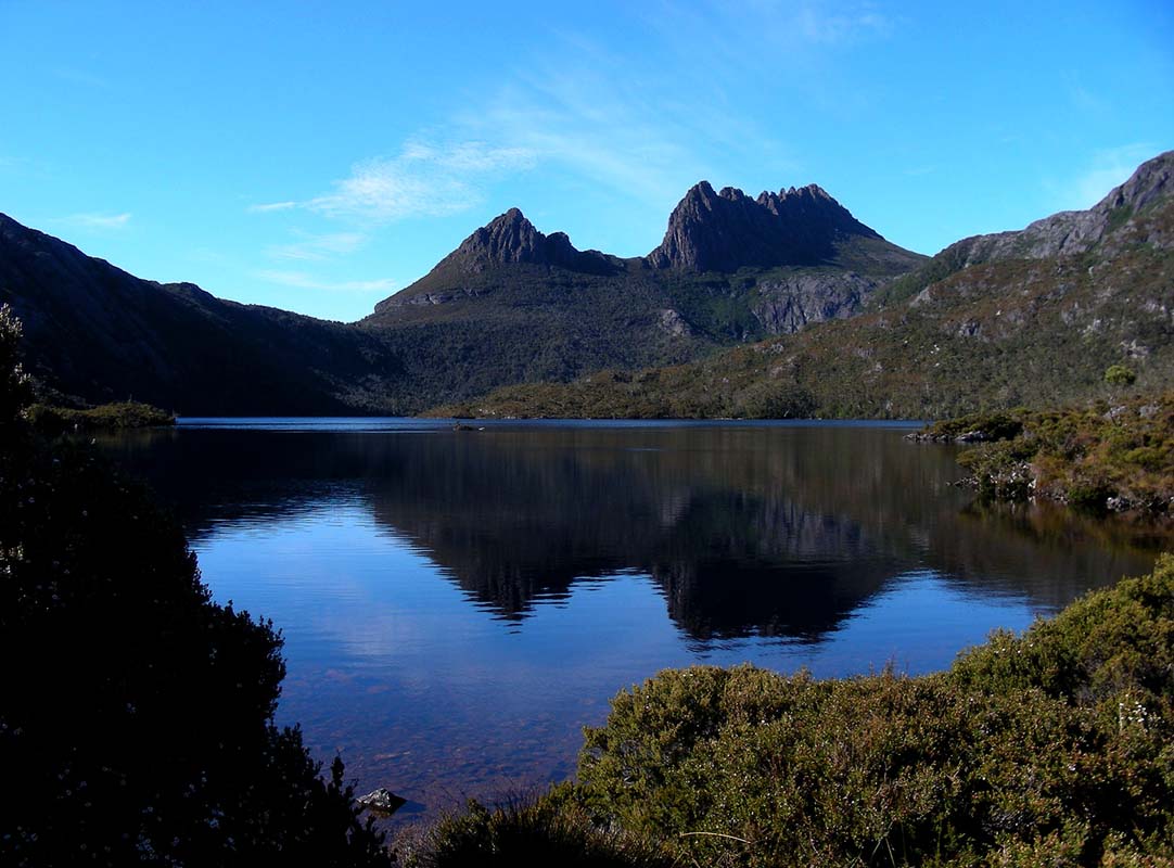
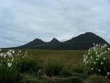
be a sunny day we decide to drive up to Cradle Mountain
National Park and check the weather with the ranger.
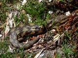
Shortly before reaching the park a small black animal crosses
the road.
It is a Tasmanian Devil!
And on the other side of the road it stops, turns around
and screams at us.
We can hardly believe our luck!
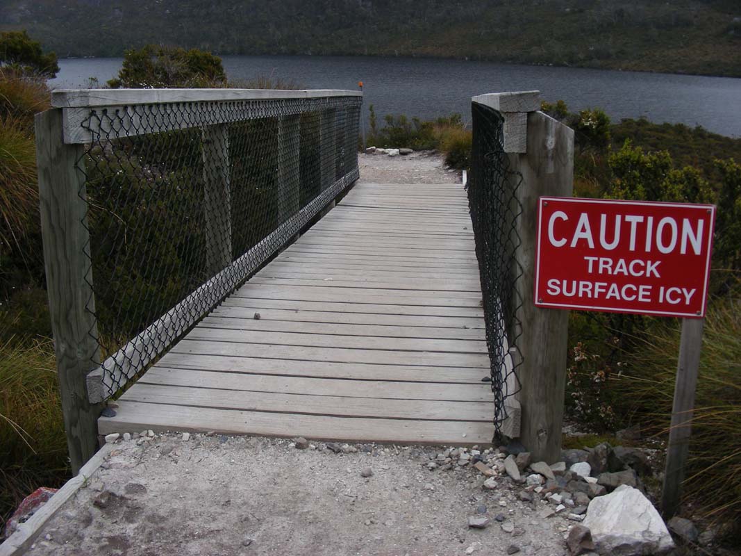
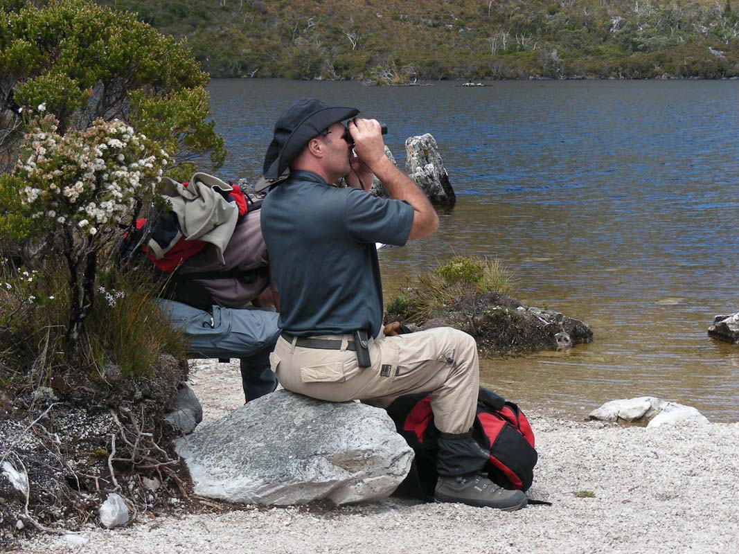
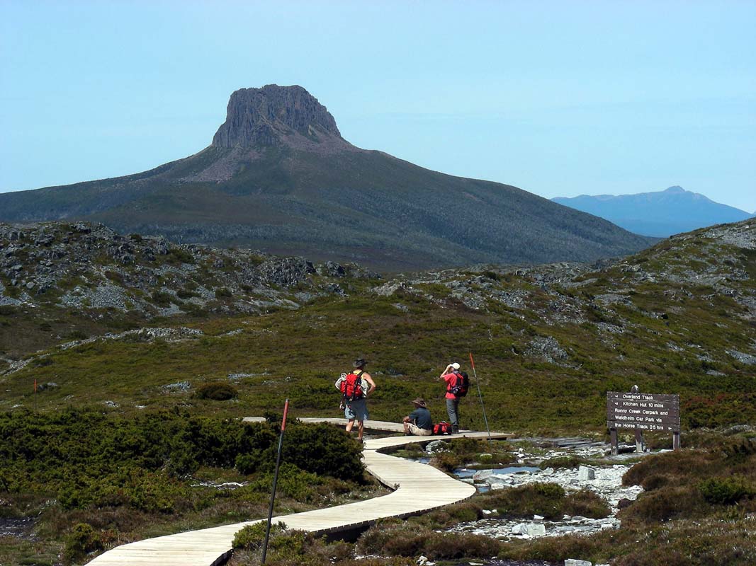
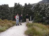
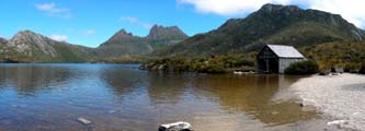
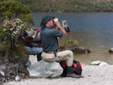
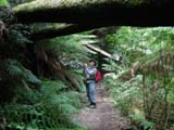
The ranger at the National Park transit hub informs us
that the weather should improve so we decide to tackle an
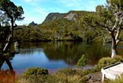
easy walk and go for the Dove Lake Circuit.
The shuttle bus to the start point is included in the Parks
Pass and runs every 10 minutes.
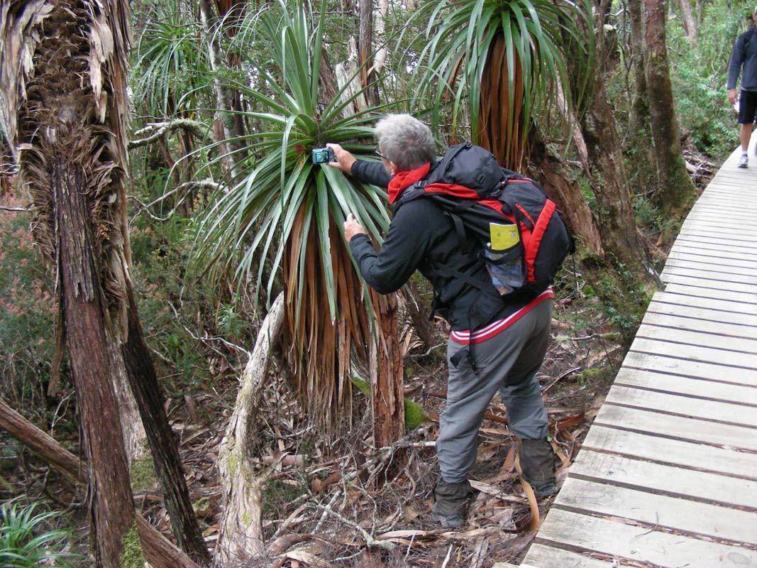
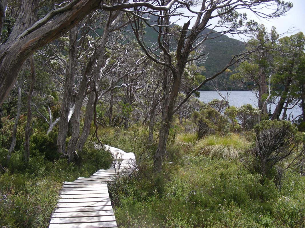
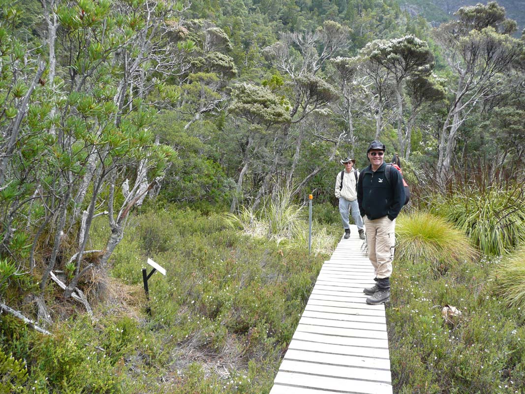
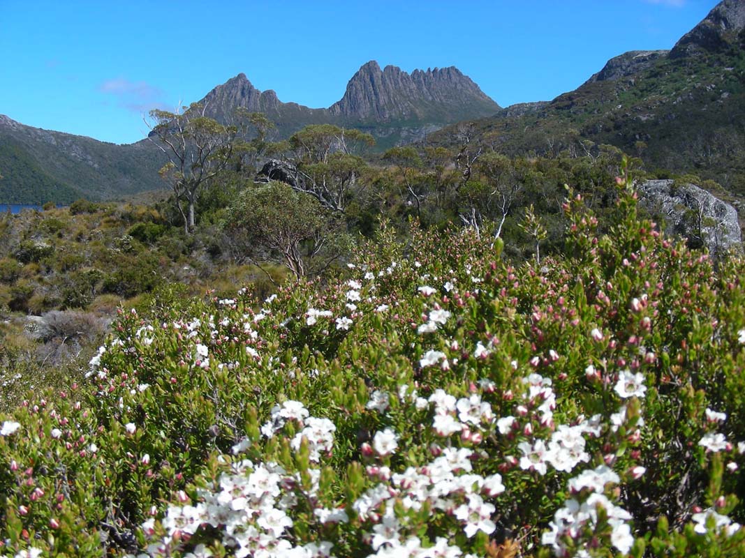
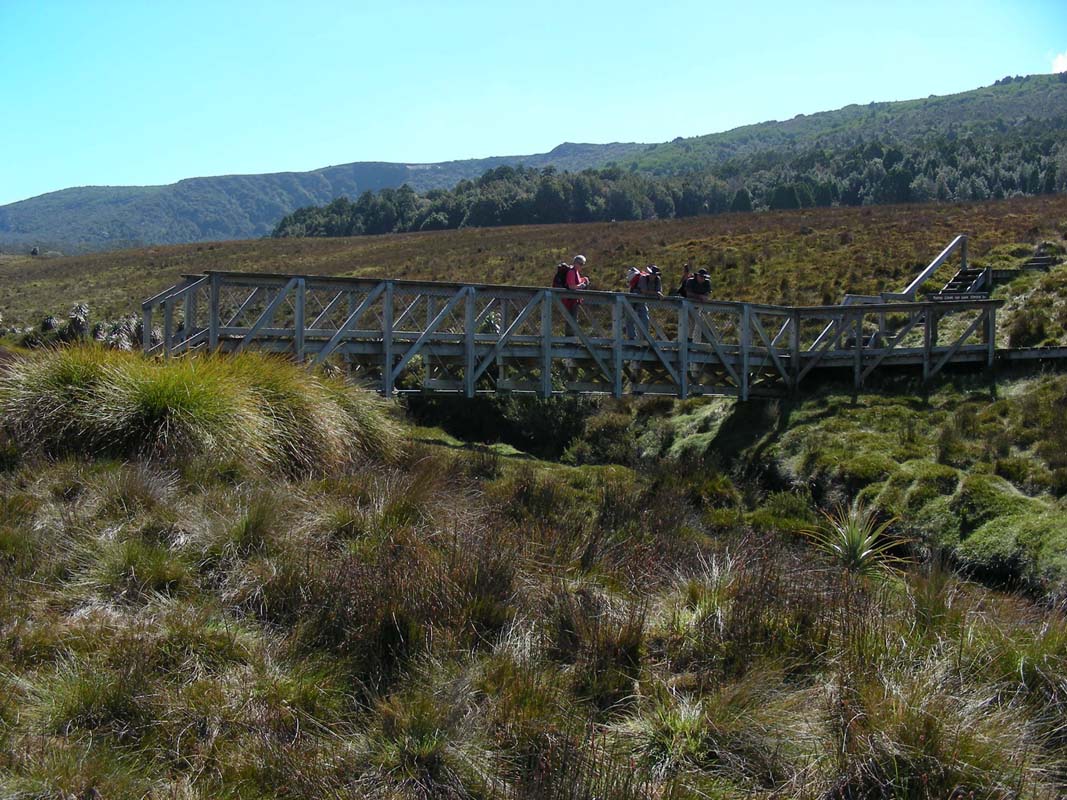
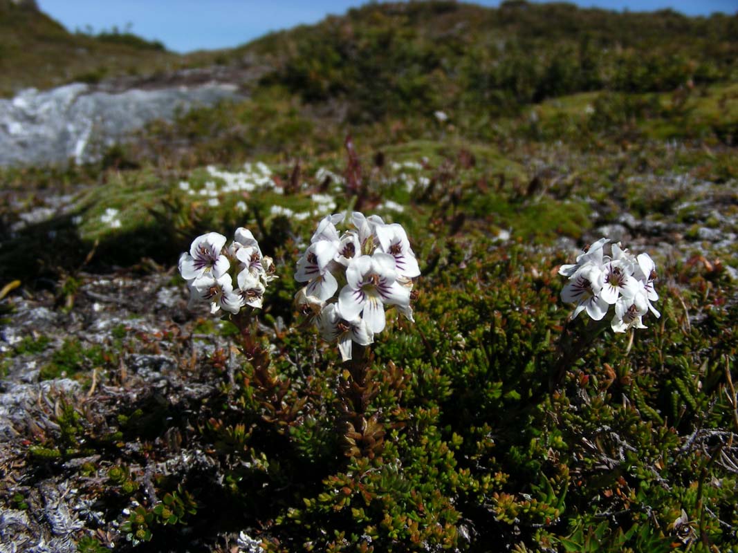
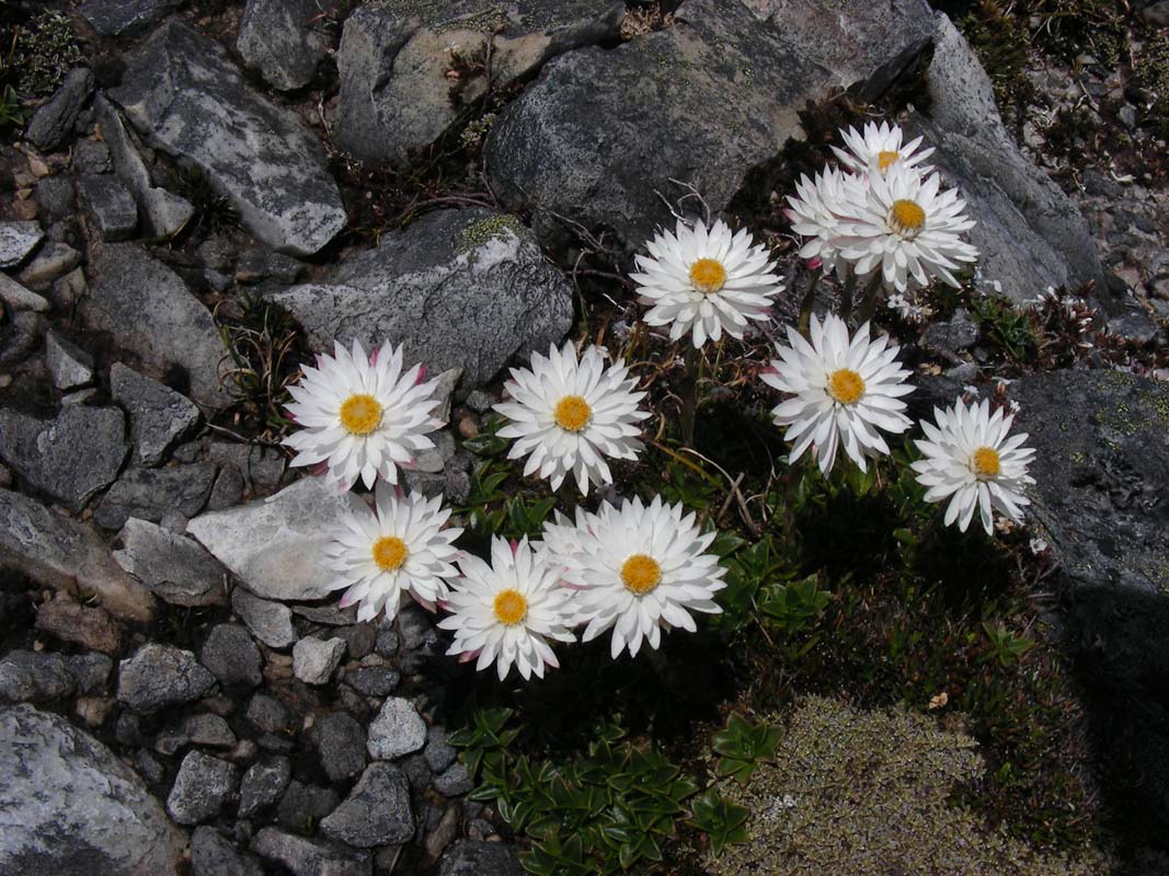
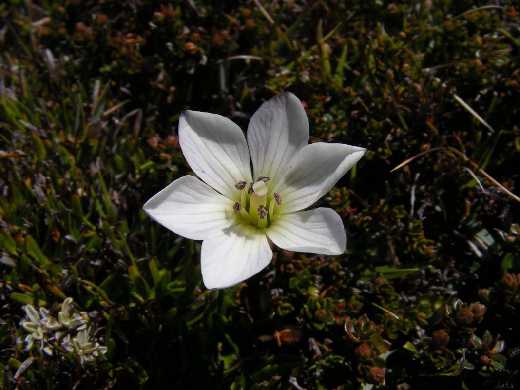
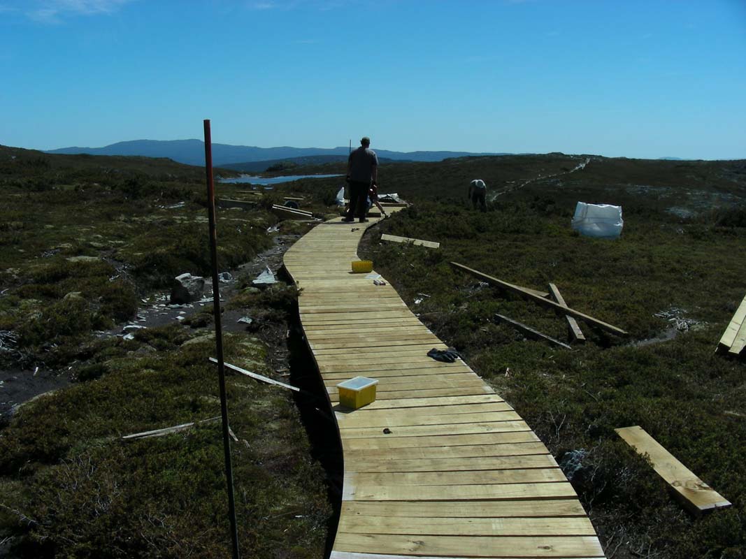
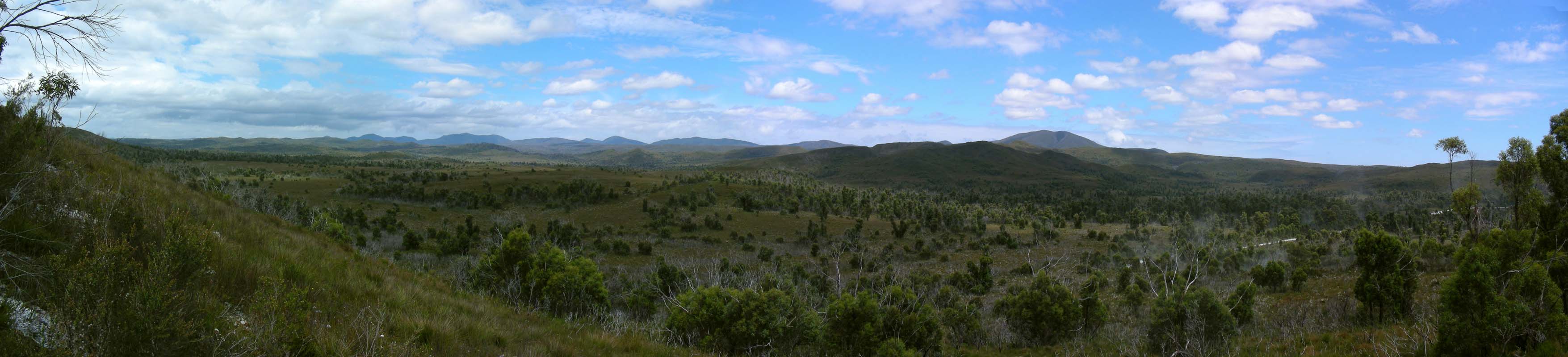
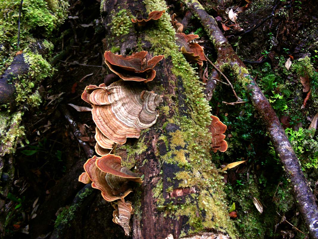
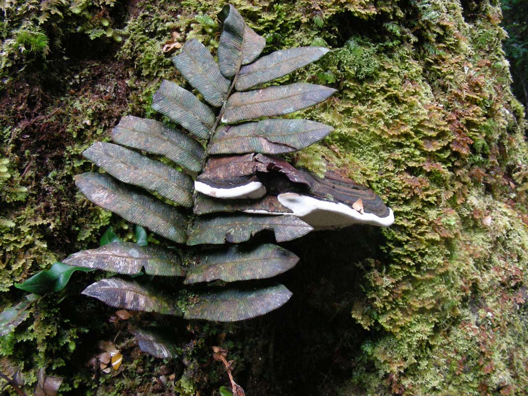
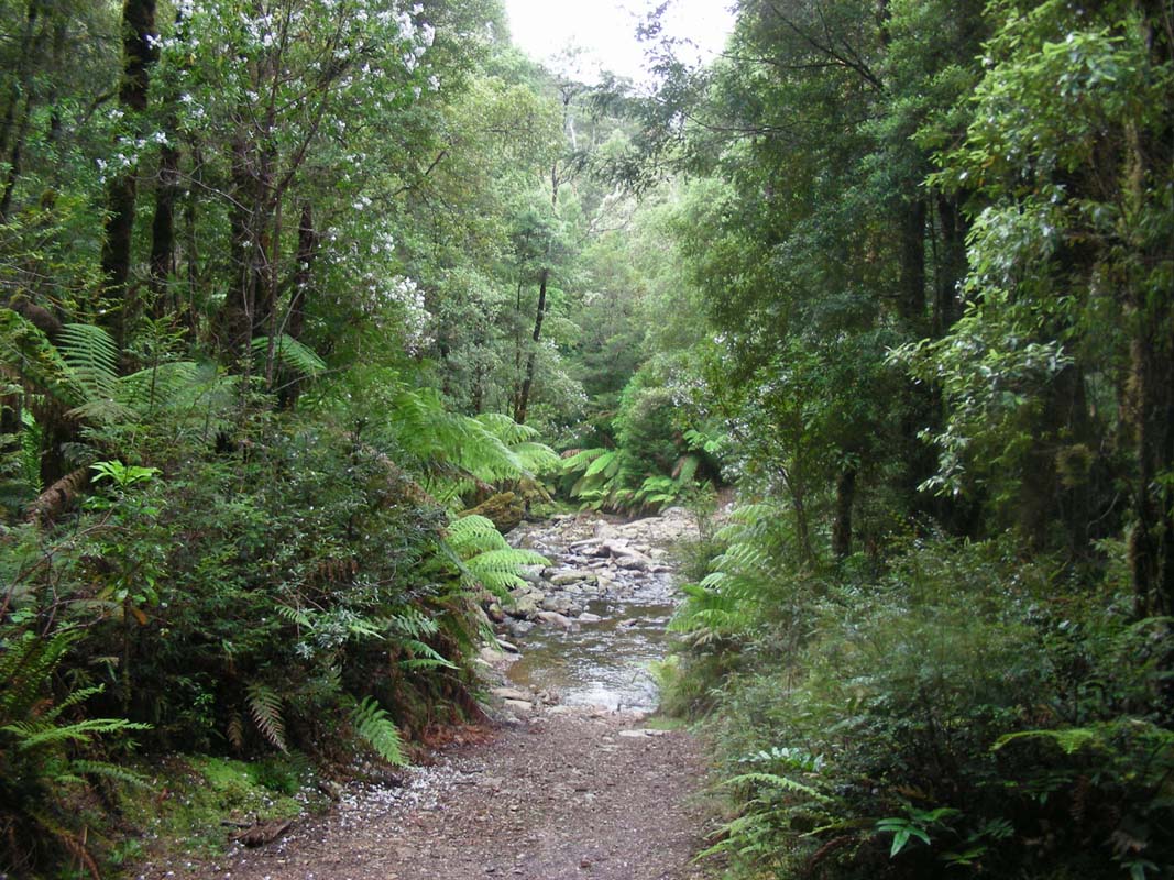
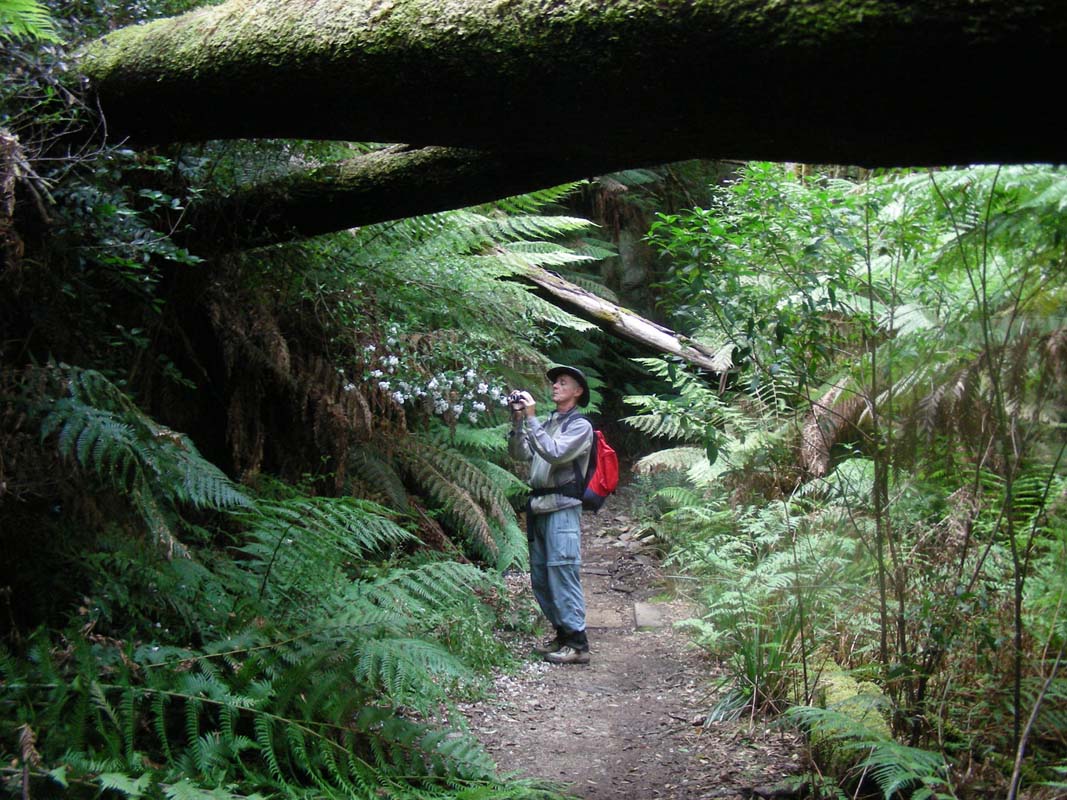
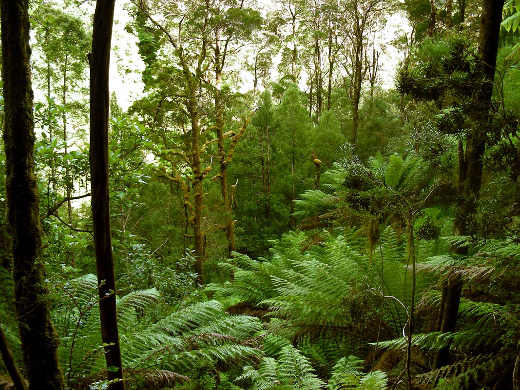
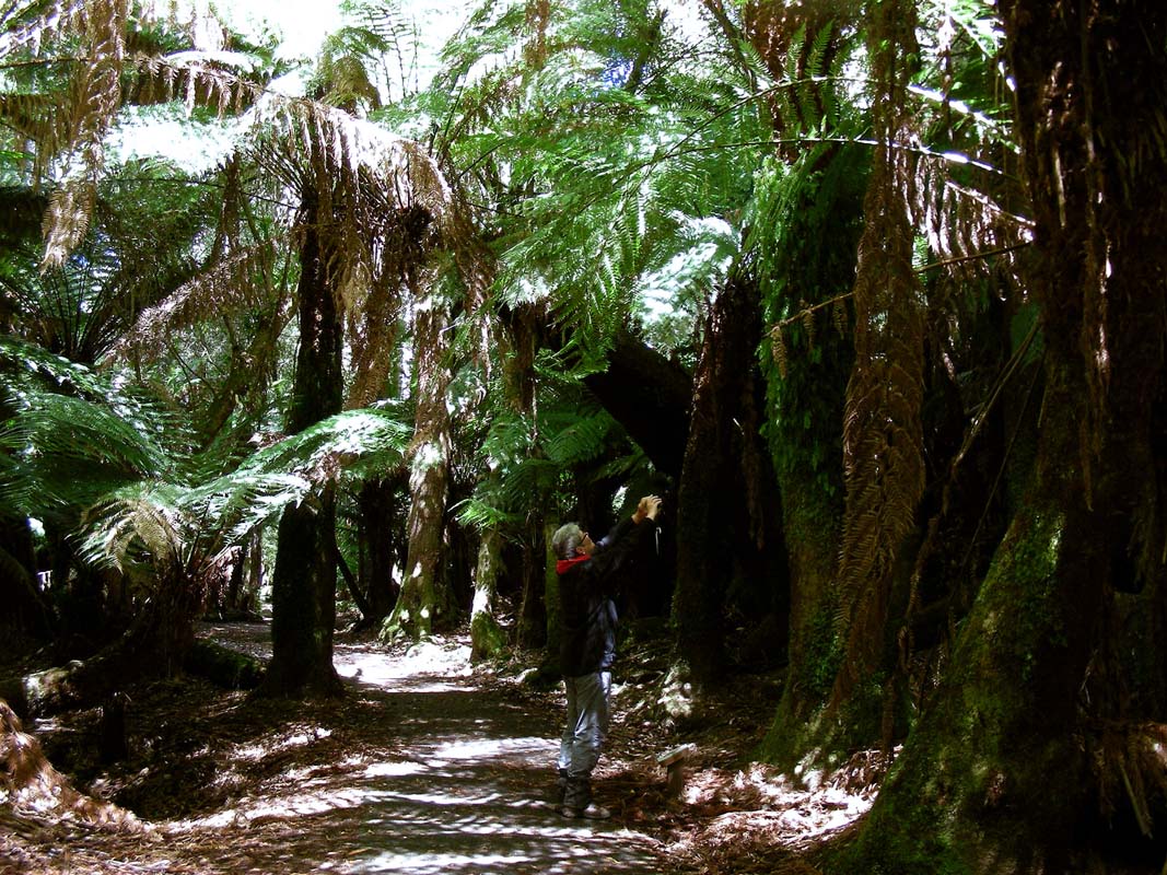
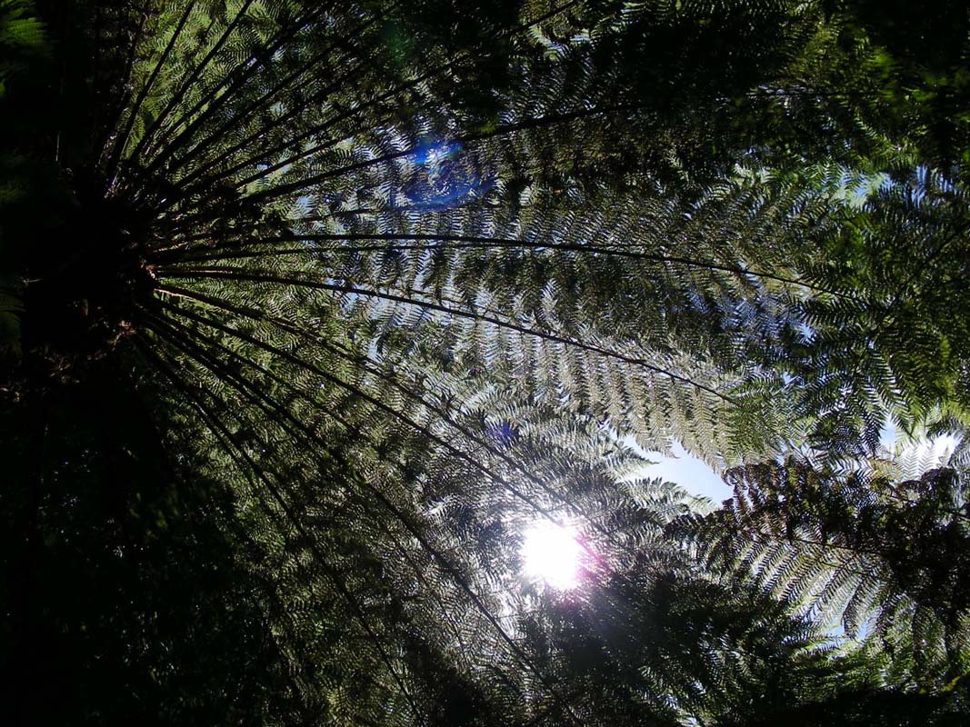
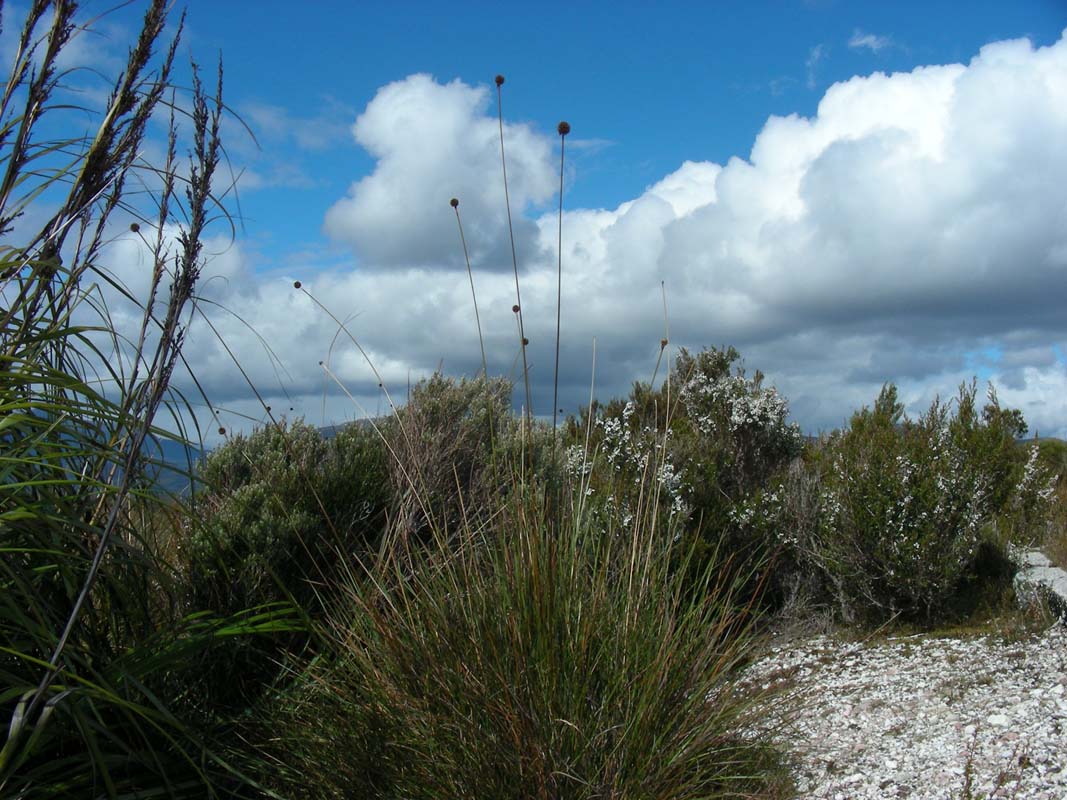
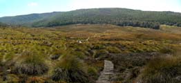
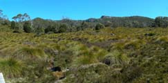
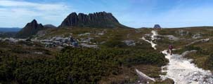
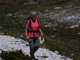
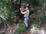
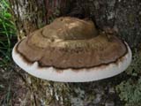
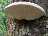
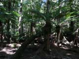
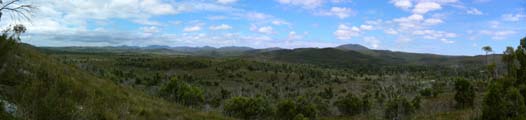
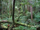
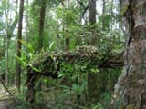
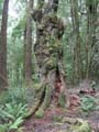
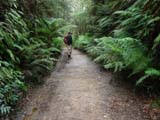
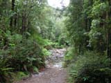
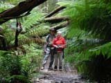
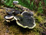
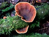
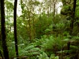
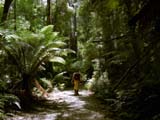
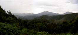
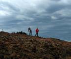
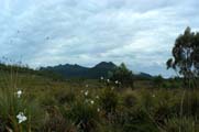
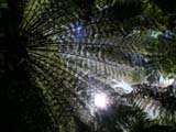
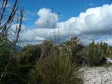
Soon we head up into the park and are impressed about its
beauty.

It is a photographer's heaven.
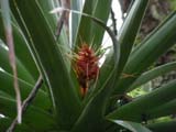
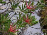
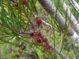
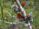

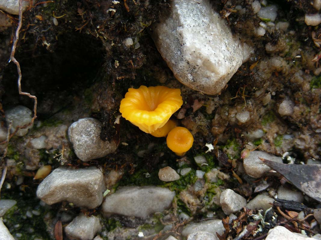
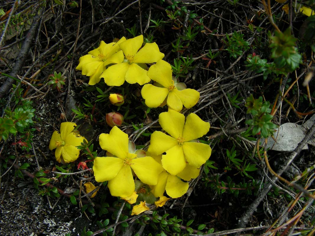
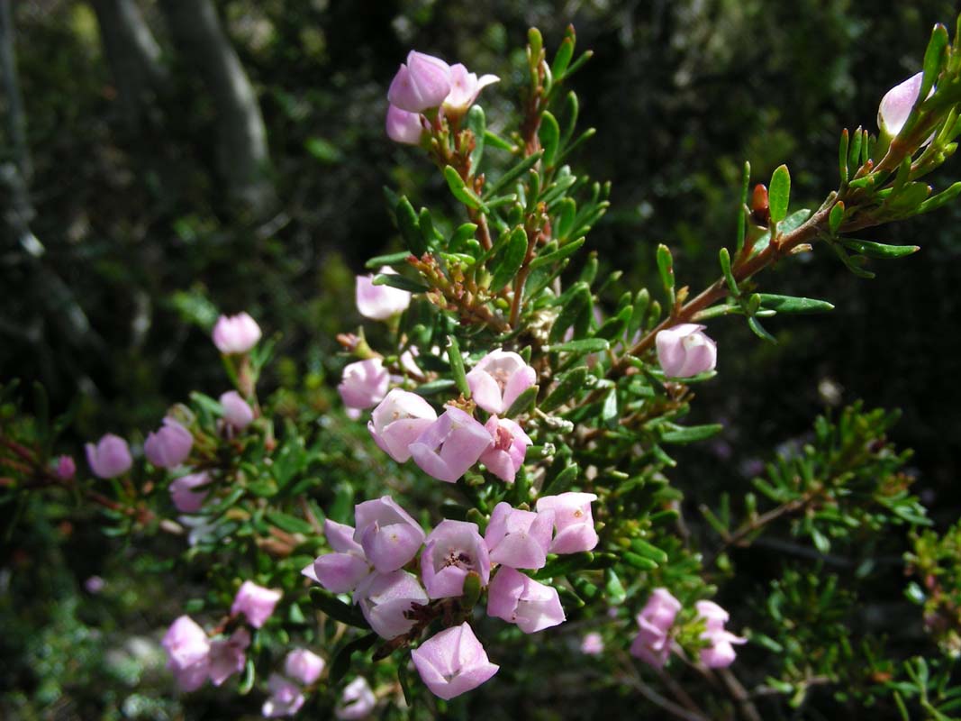
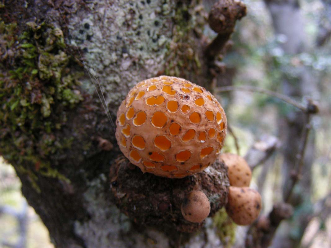
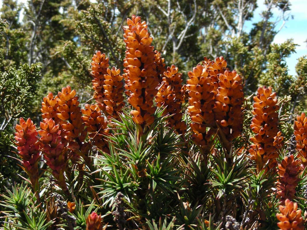
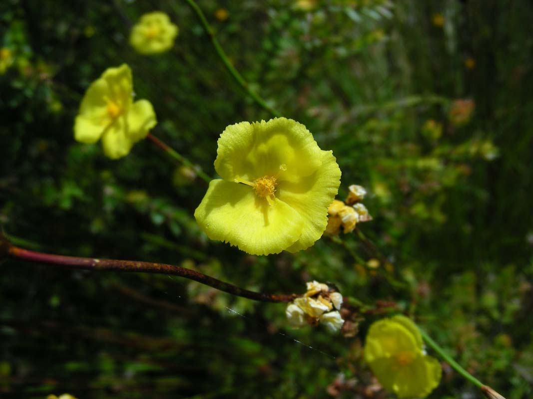
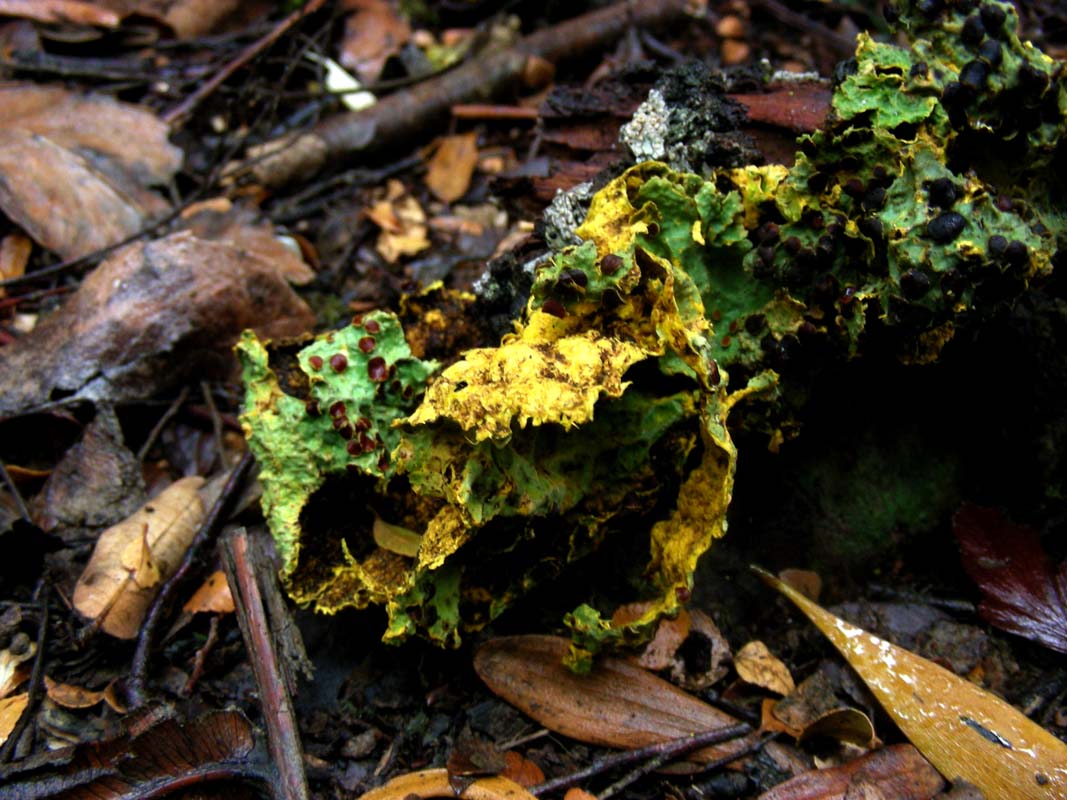
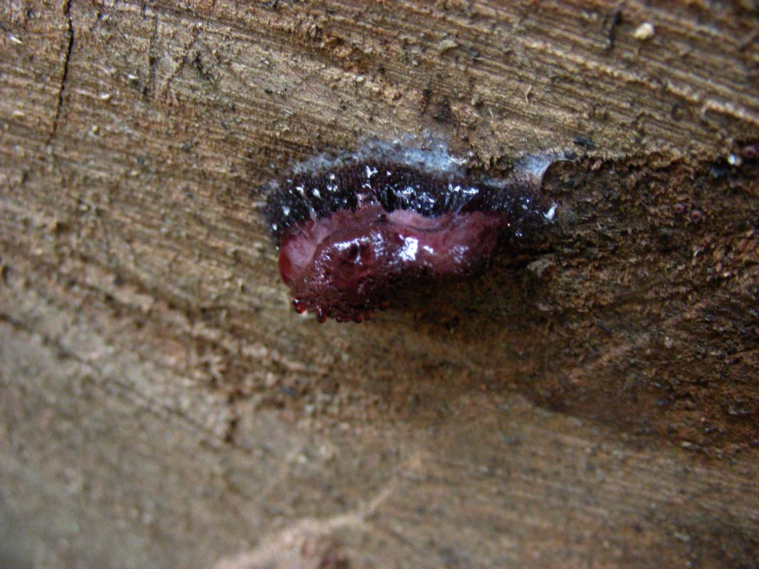
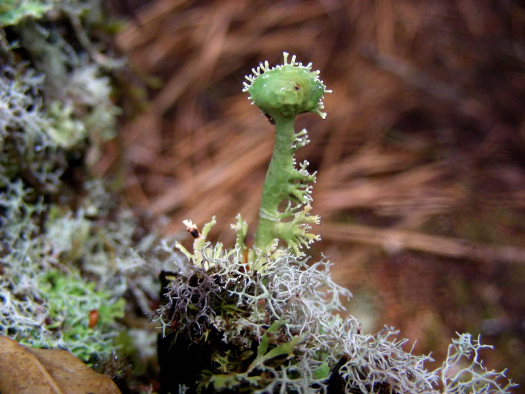
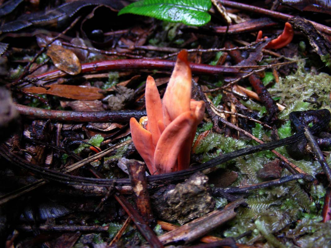
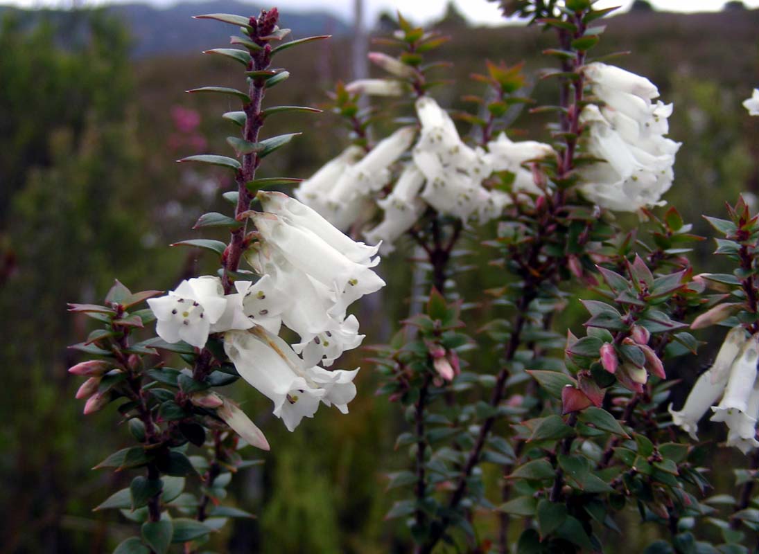
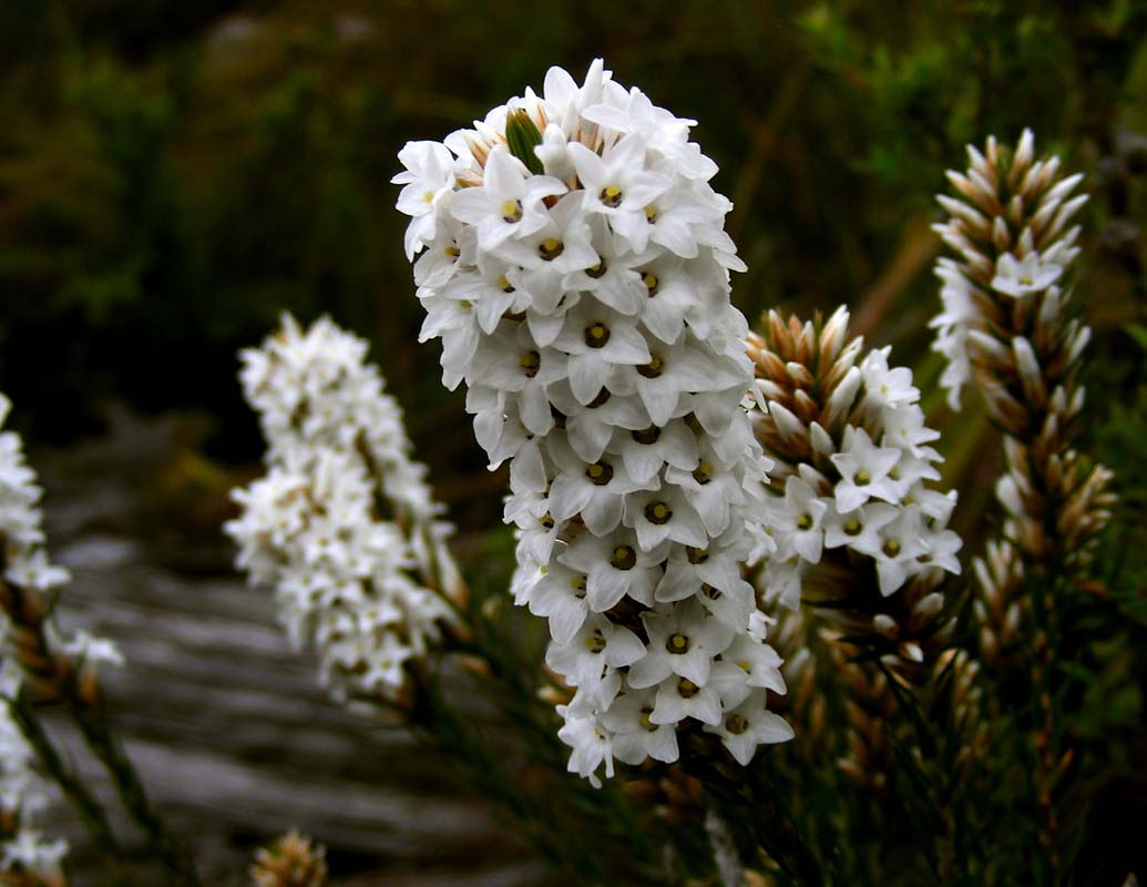
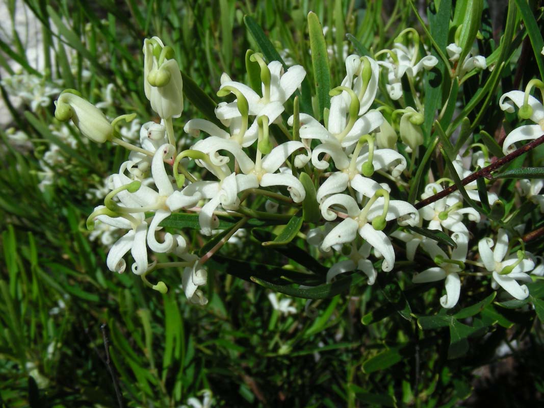
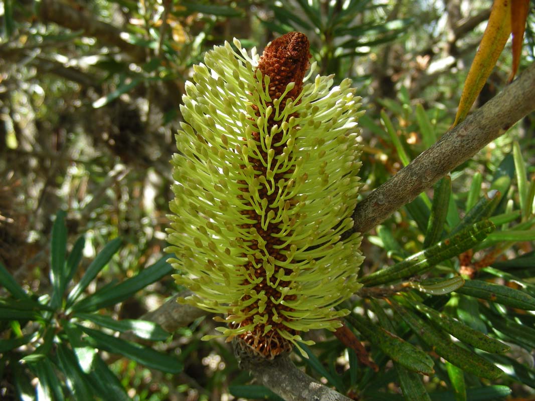
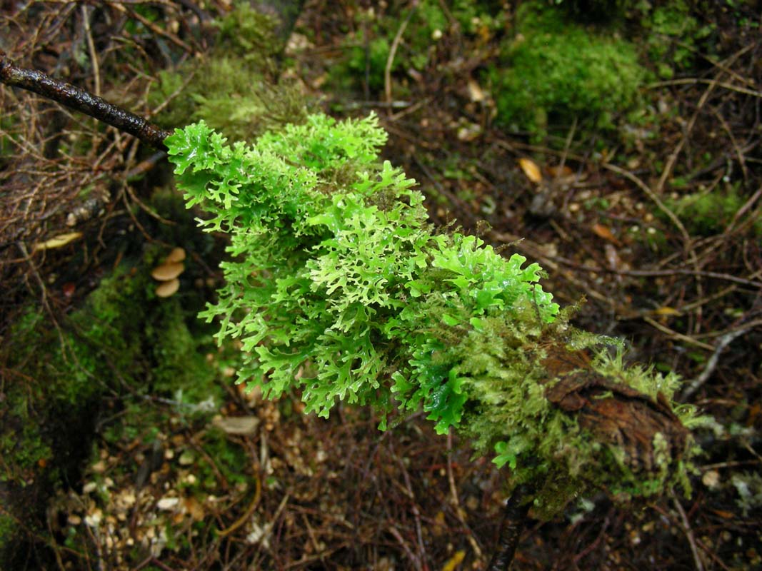
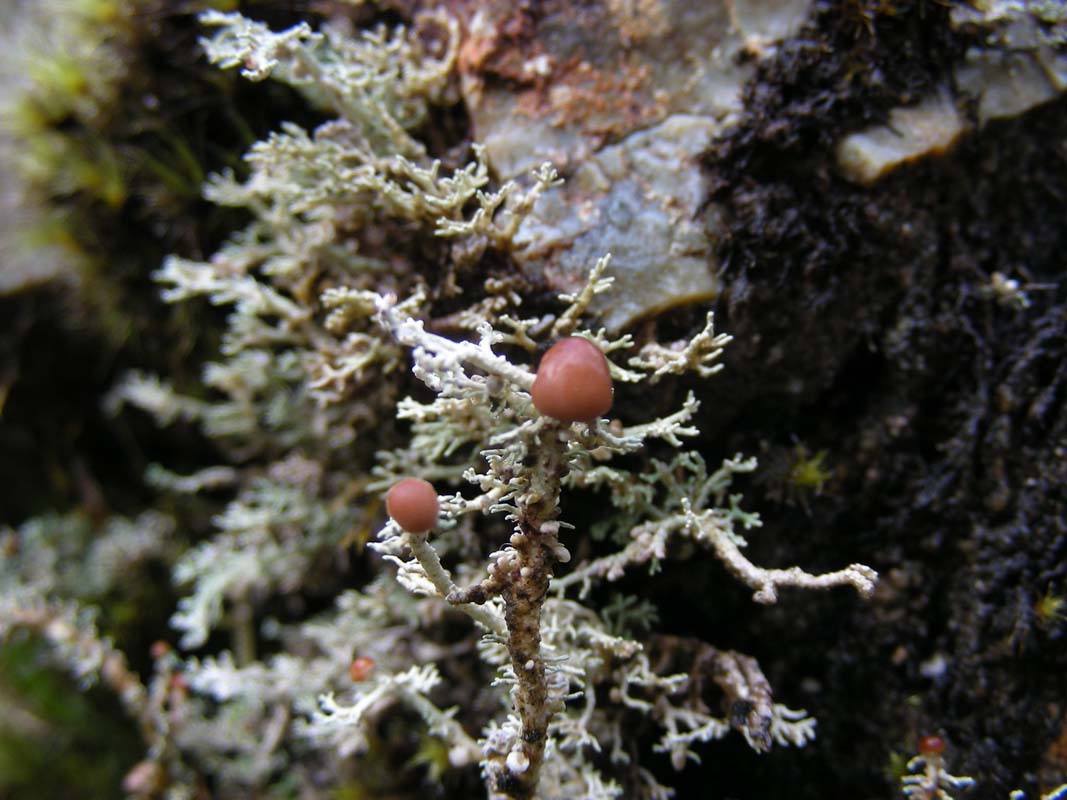
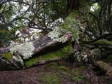
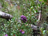
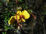
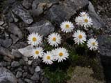
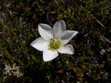
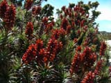
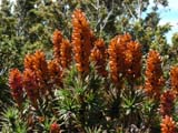
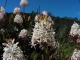
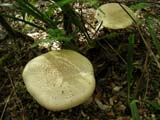
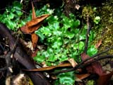
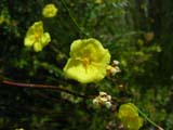
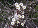
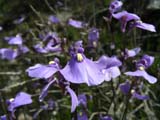
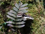
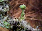
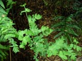
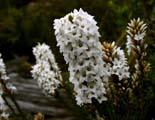
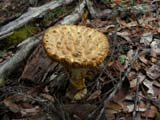
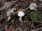
Shrubs, bushes, trees, fungi
....
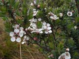
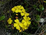
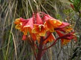

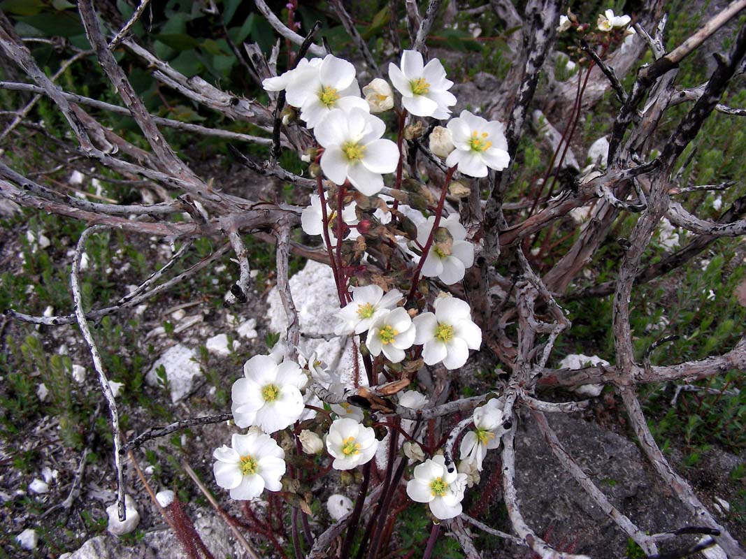
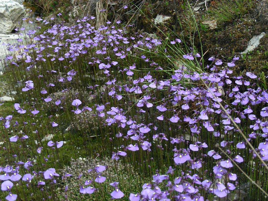
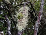
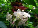
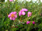
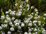
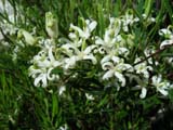
... and many flowers ...... where found out the name of
the flower can be found when passing the mouse over the image.
We feel like in Switzerland, the mountains, the little
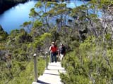
creeks, the green country .... it is very pretty.
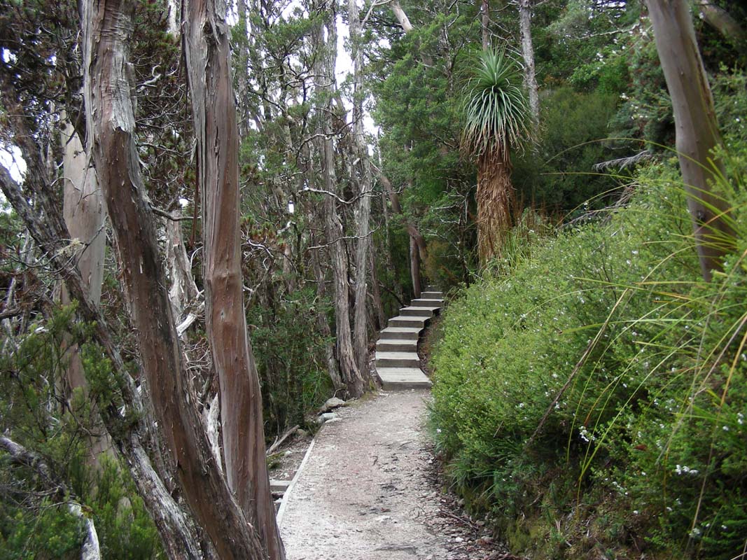
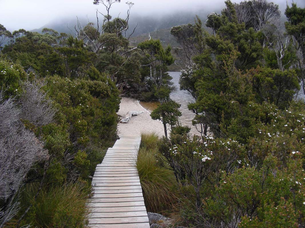
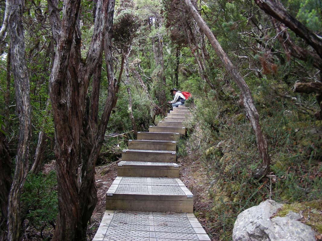
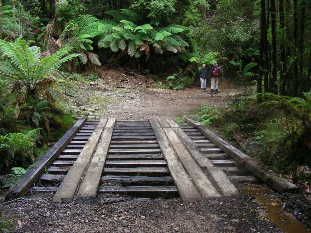
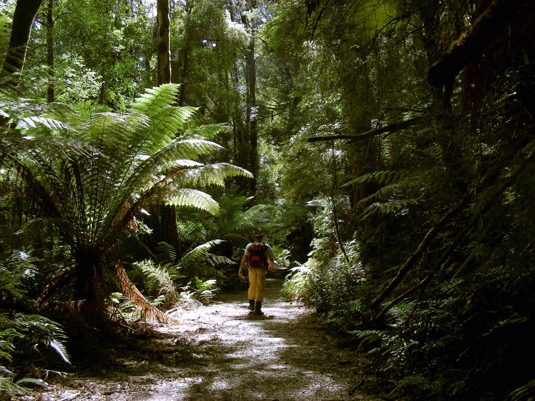
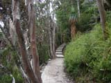
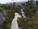
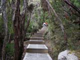
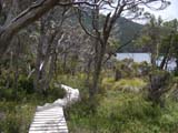
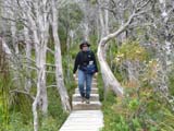
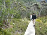
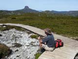
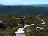
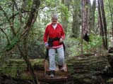
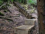
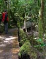
Most of the walk way is covered by wooden planks to protect
nature.
It also makes walking easier.
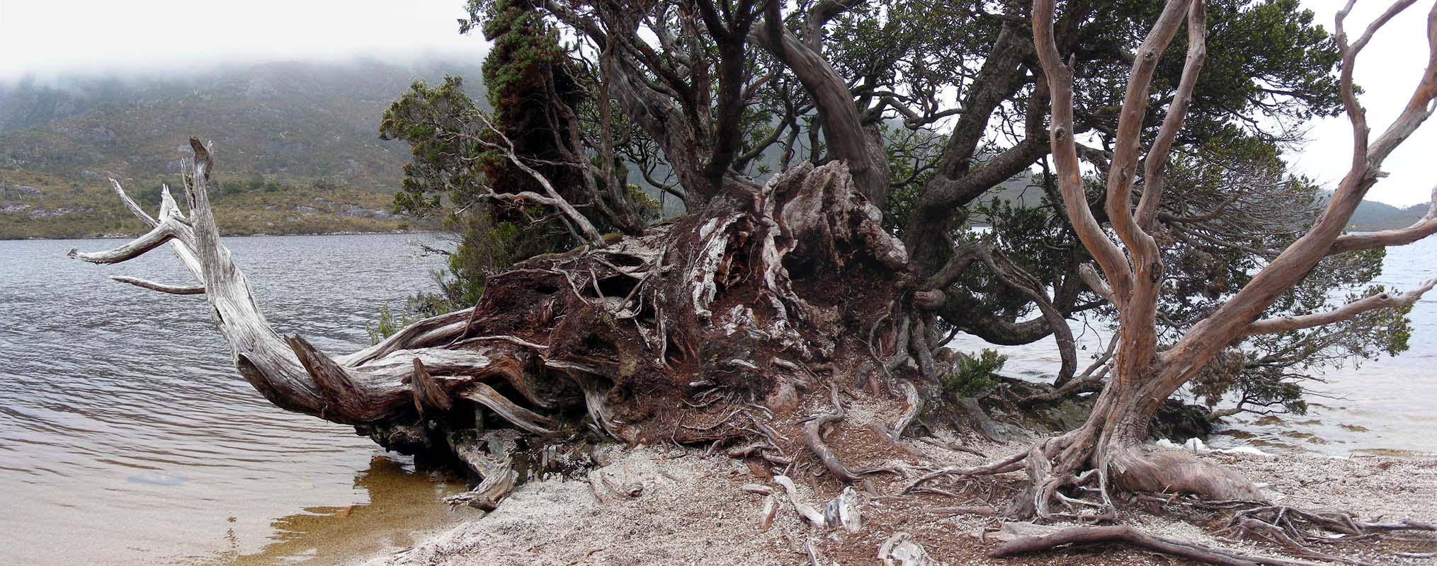
So we have plenty of time to have a look at the many overgrown
trees ....

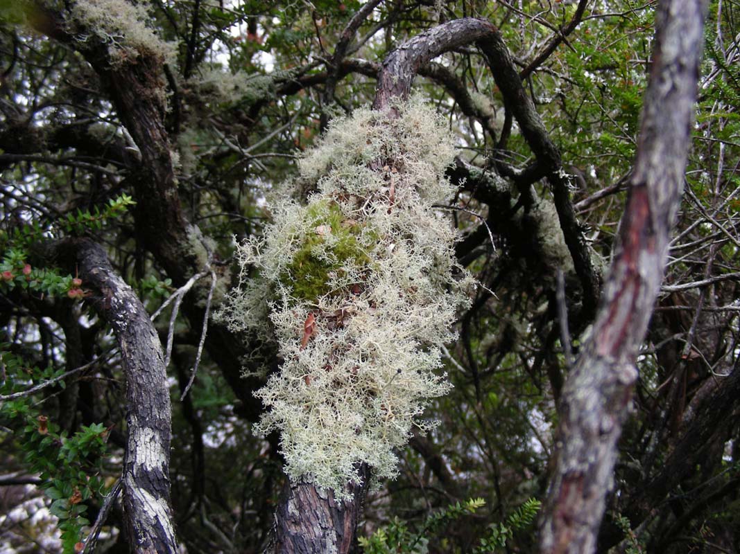
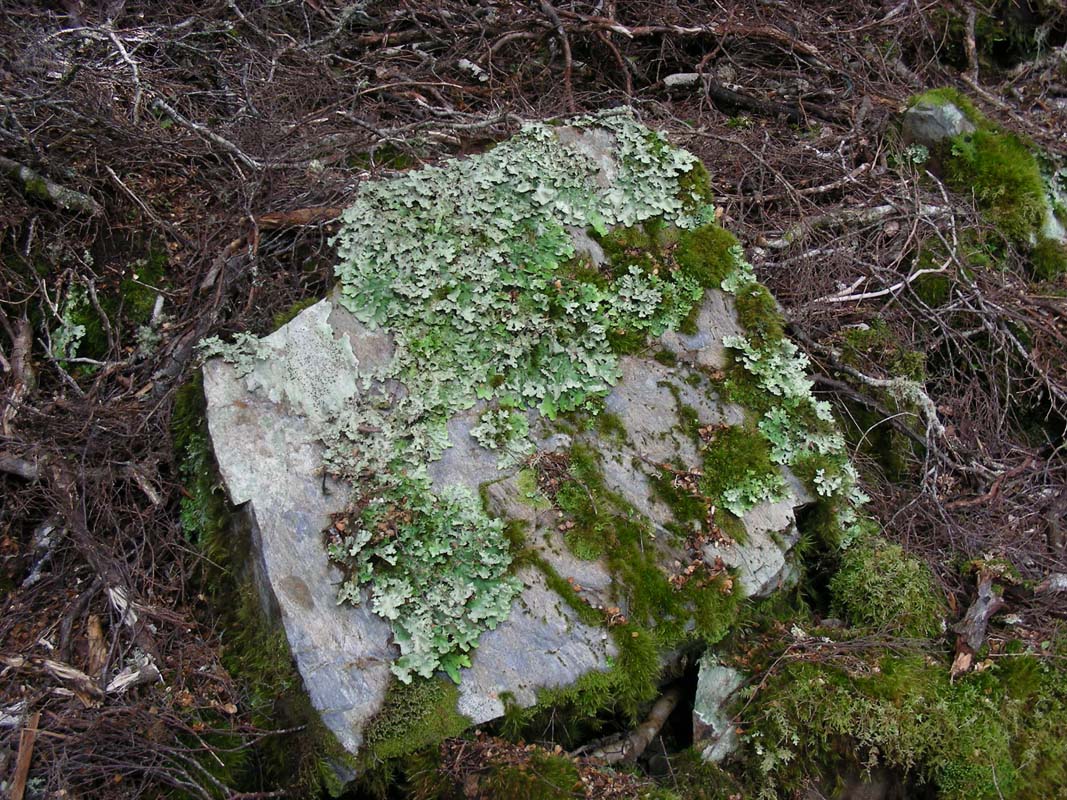
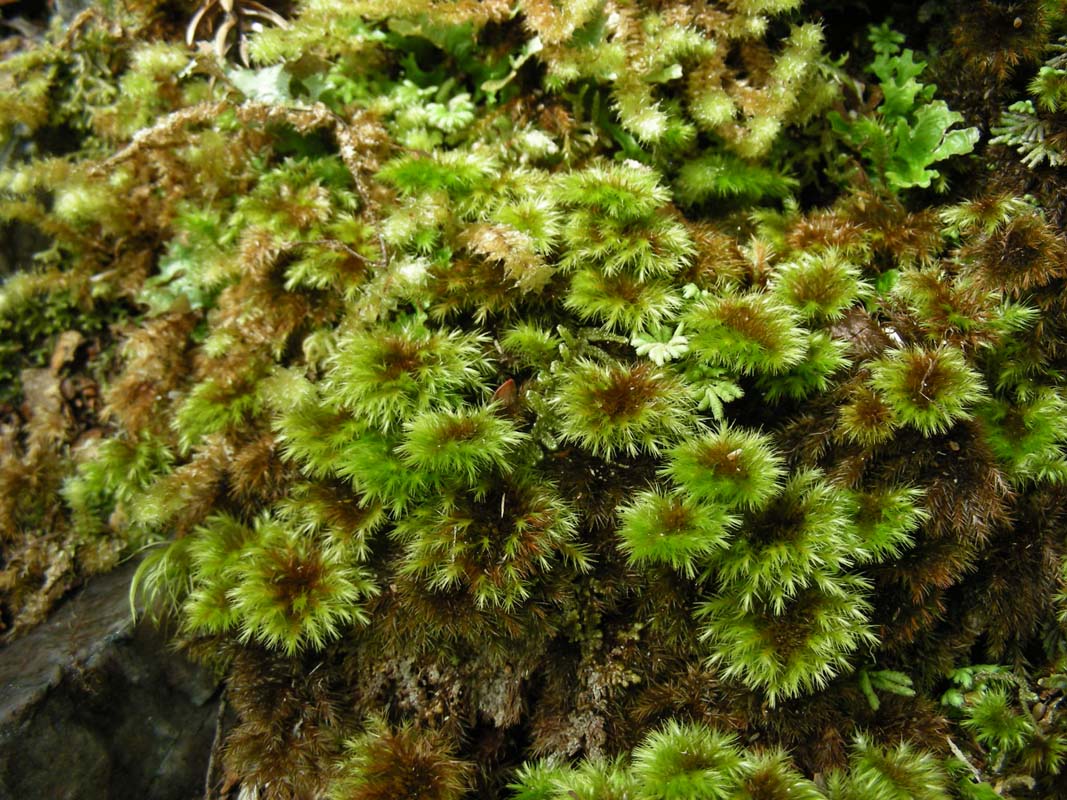
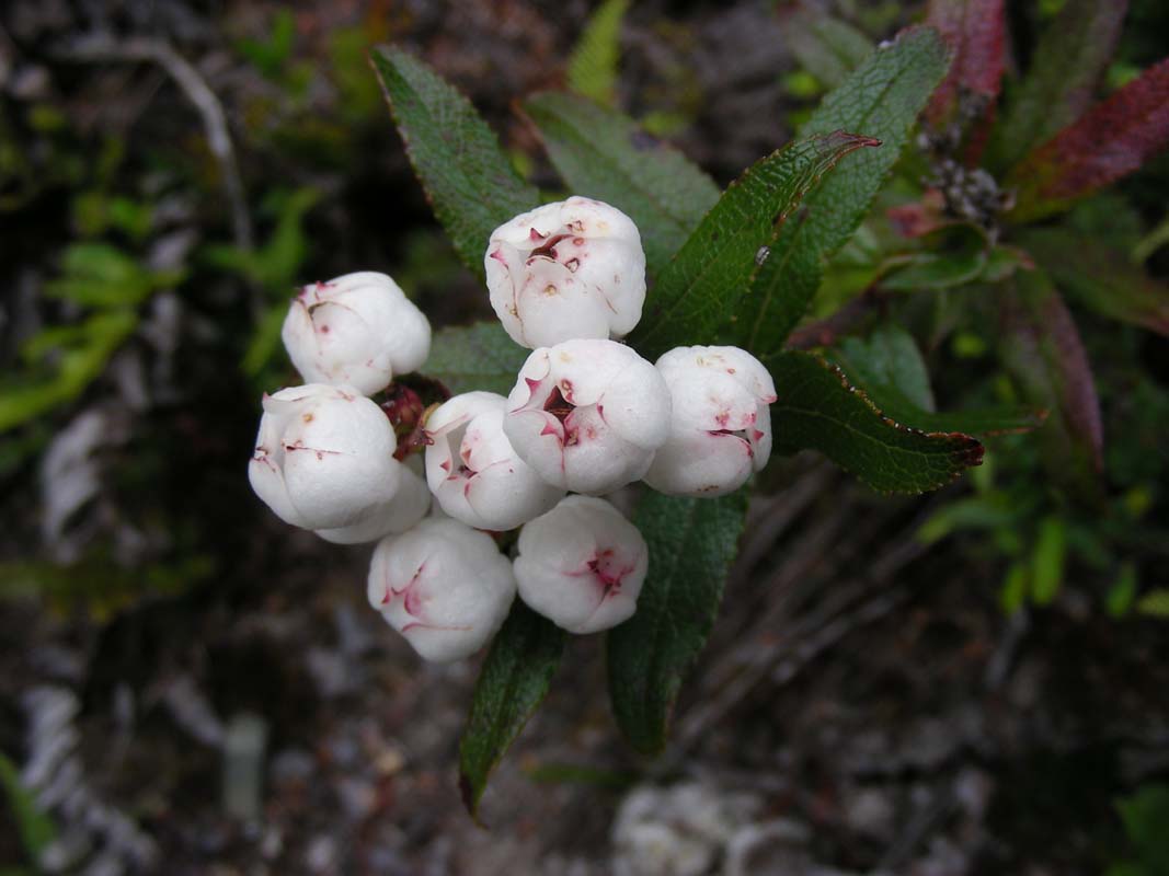
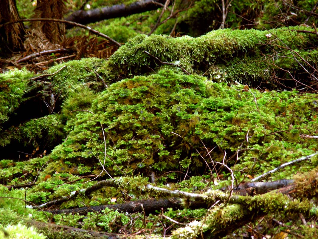
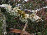
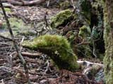
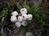
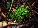
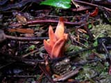
..... the different mosses ....
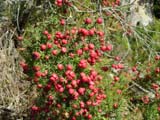
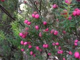
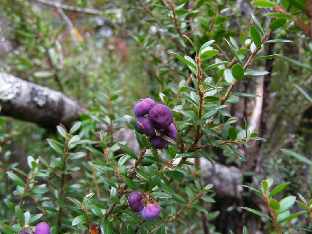
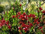
... the colourful berries ....
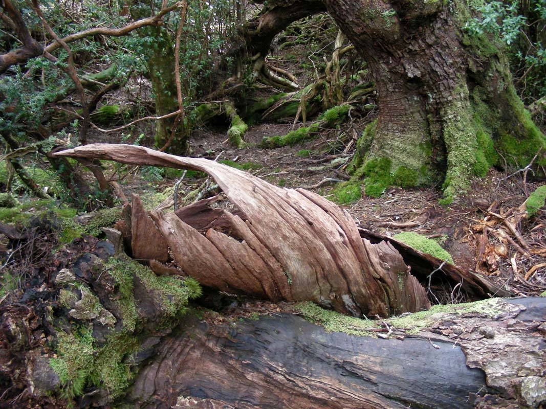
... trees and parts of them ....
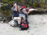
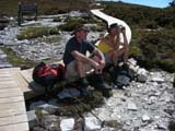
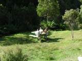
We stop for lunch at one of the many provided areas.
It does not take long and a Currawong comes close to inspect
what we are eating.
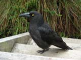
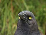
As soon as some bread falls to the floor from a sandwich
it quickly gets it.
Even the cases of an apple are gobbled up in no time.
After lunch the weather improves and the sun burns the
clouds away.
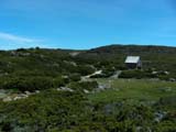
We reach the fisher hut and Susi gets all excited to see
the real thing after having painted it in oils during her
painting classes in Australia in the 90's.


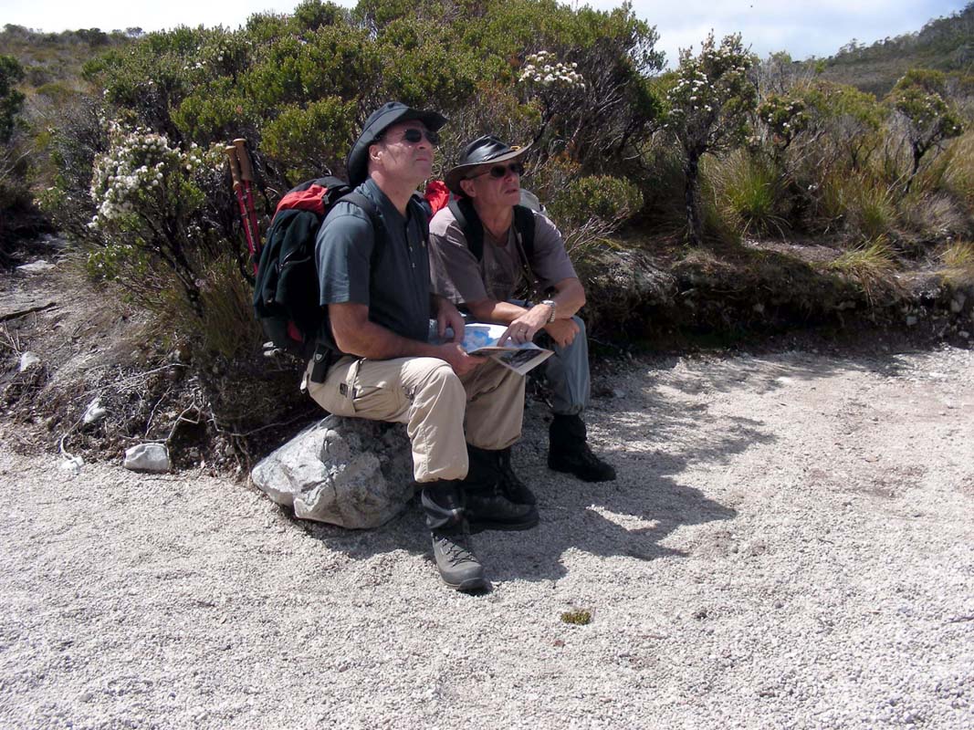
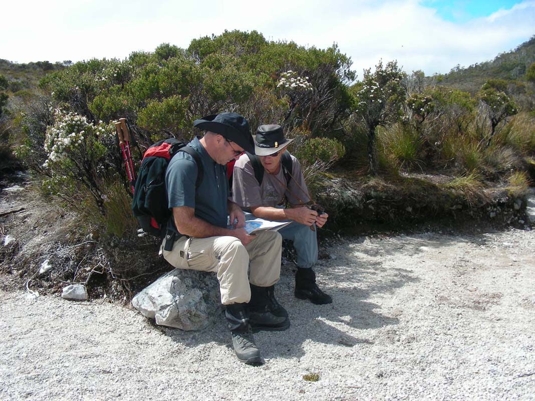
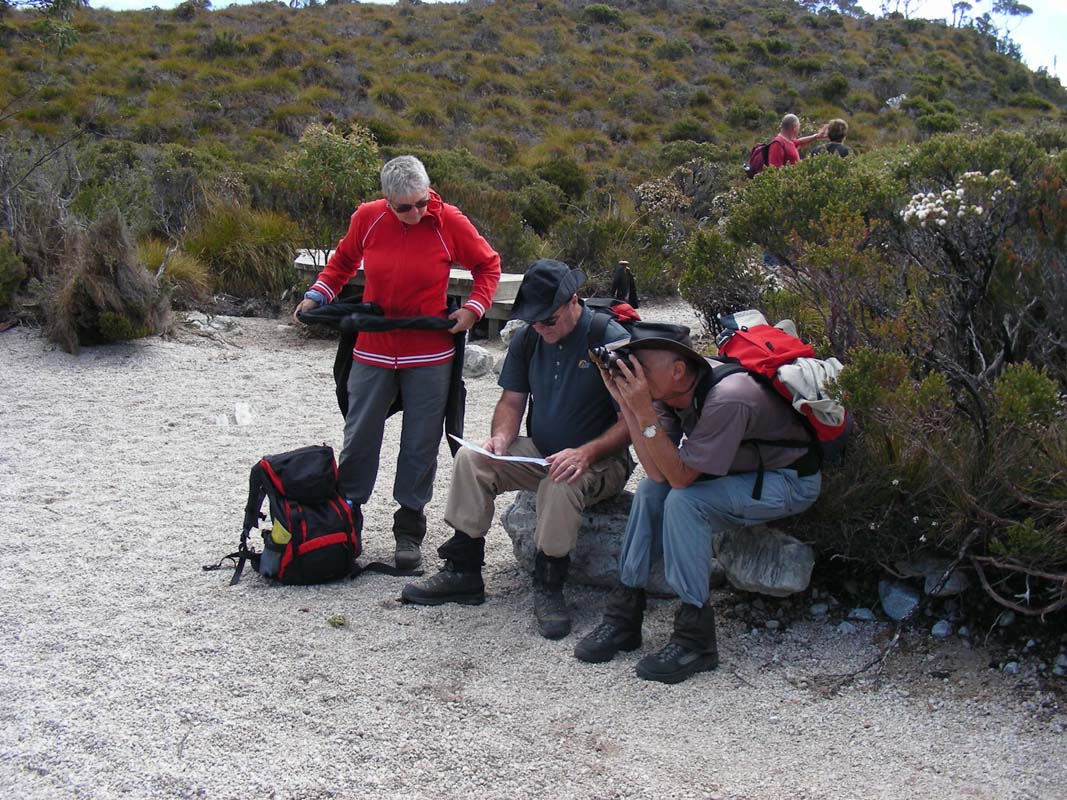
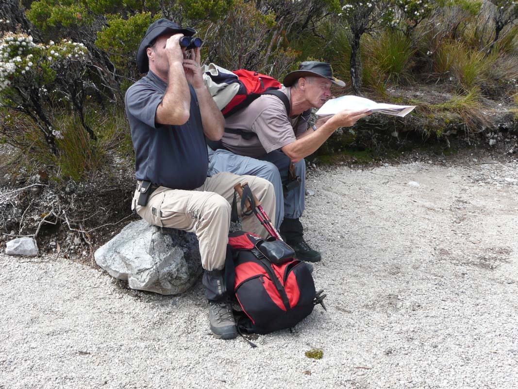
When Ruedi and Peter try to find the peak of Cradle Mountain
with the help of the compass they find out that there must
be a declination difference.
This has to do with the geographical north that is not equal
to the magnetic north and also with the magnetic deviations
which is here about 13°.

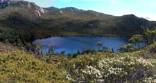
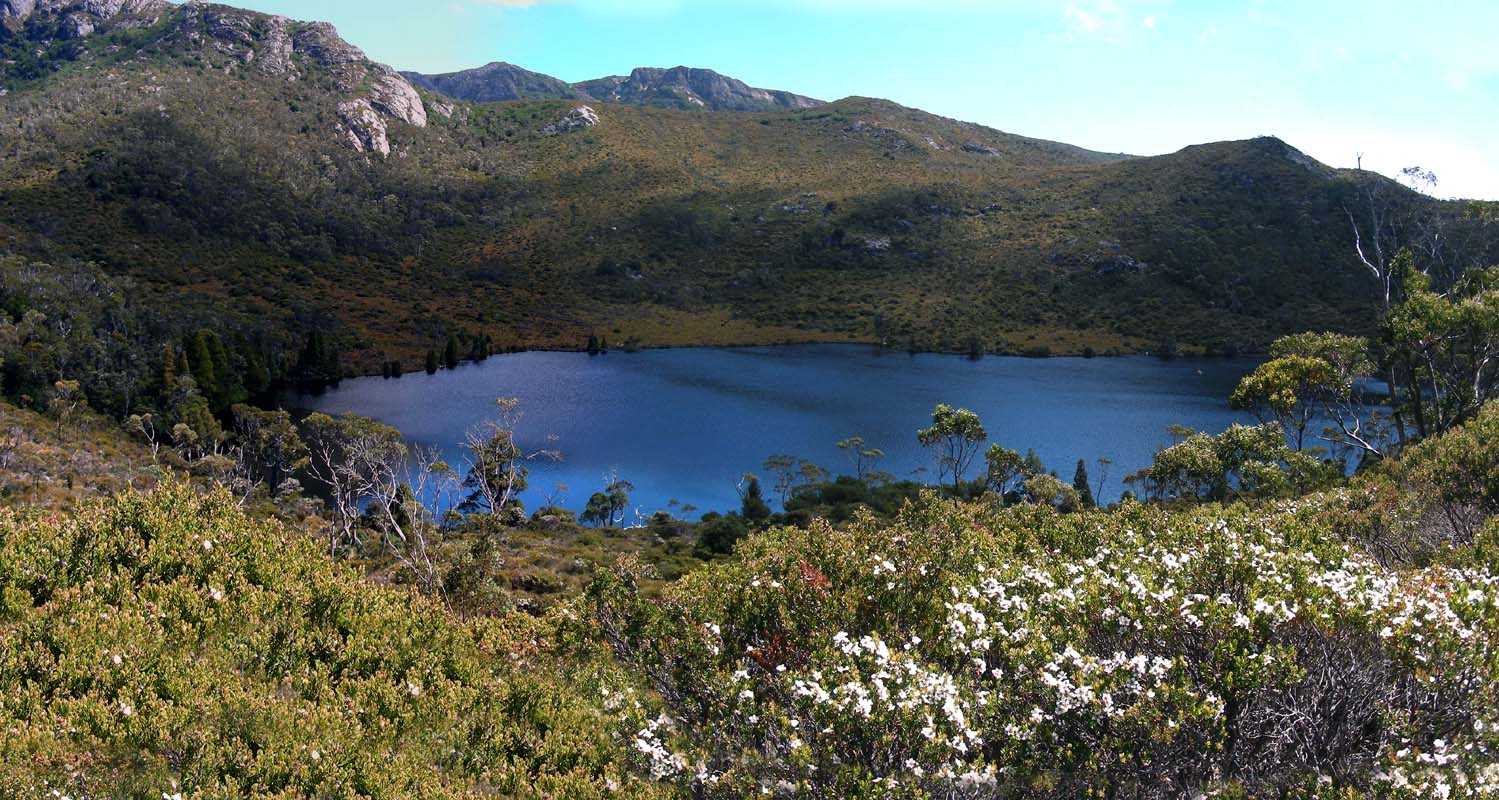
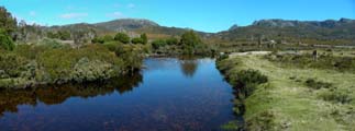
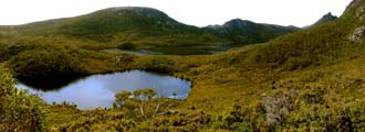
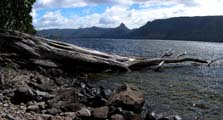
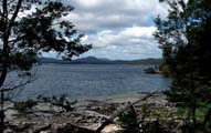
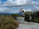
Then we follow the Lila Lake Walk signs
and find a very picturesque lake.
To get the feeling of the atmosphere open the fridge door,
place your PC in it and then
click here to view the movie with the sound of the little creek ......
the murmuring of the water in the fresh cool air .....

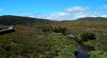
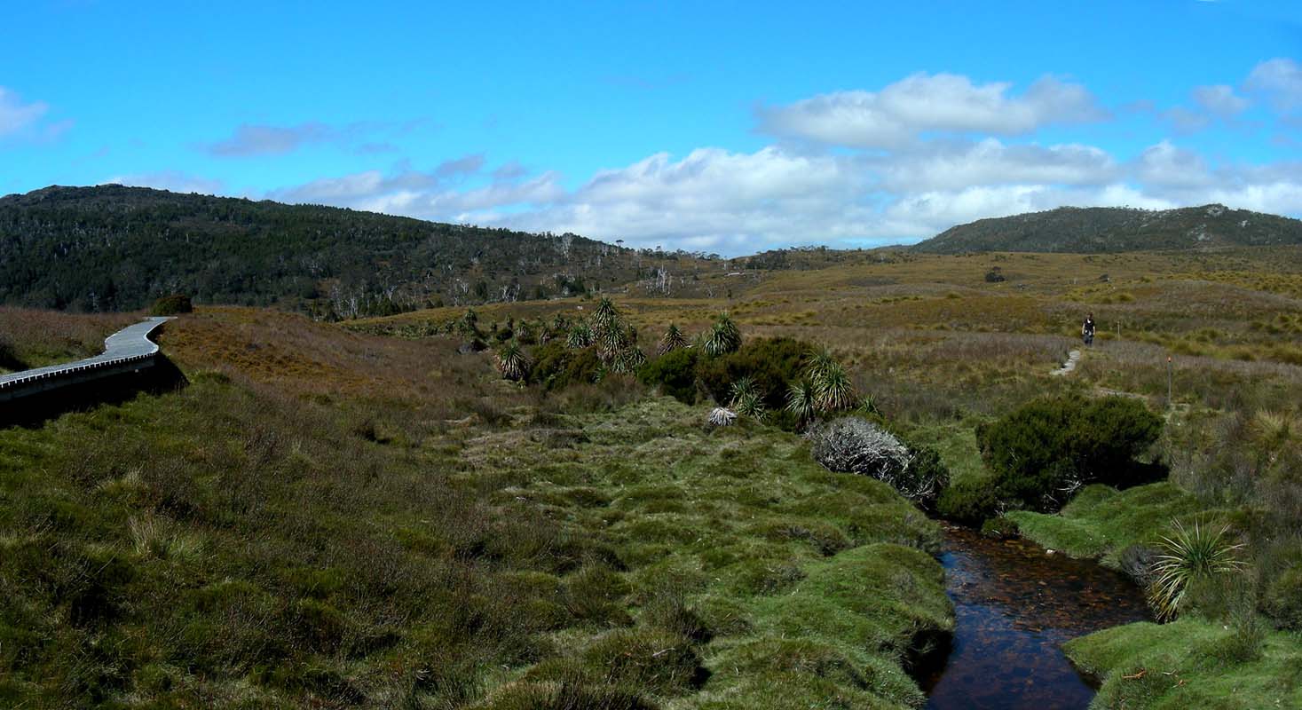
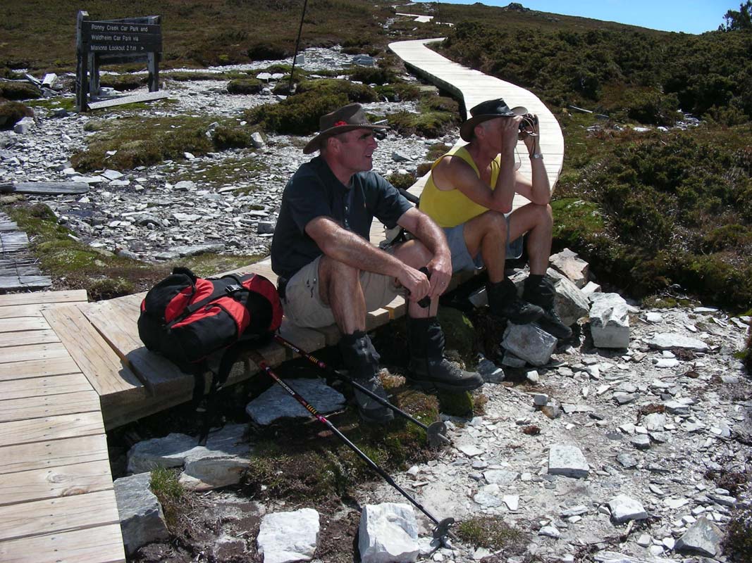
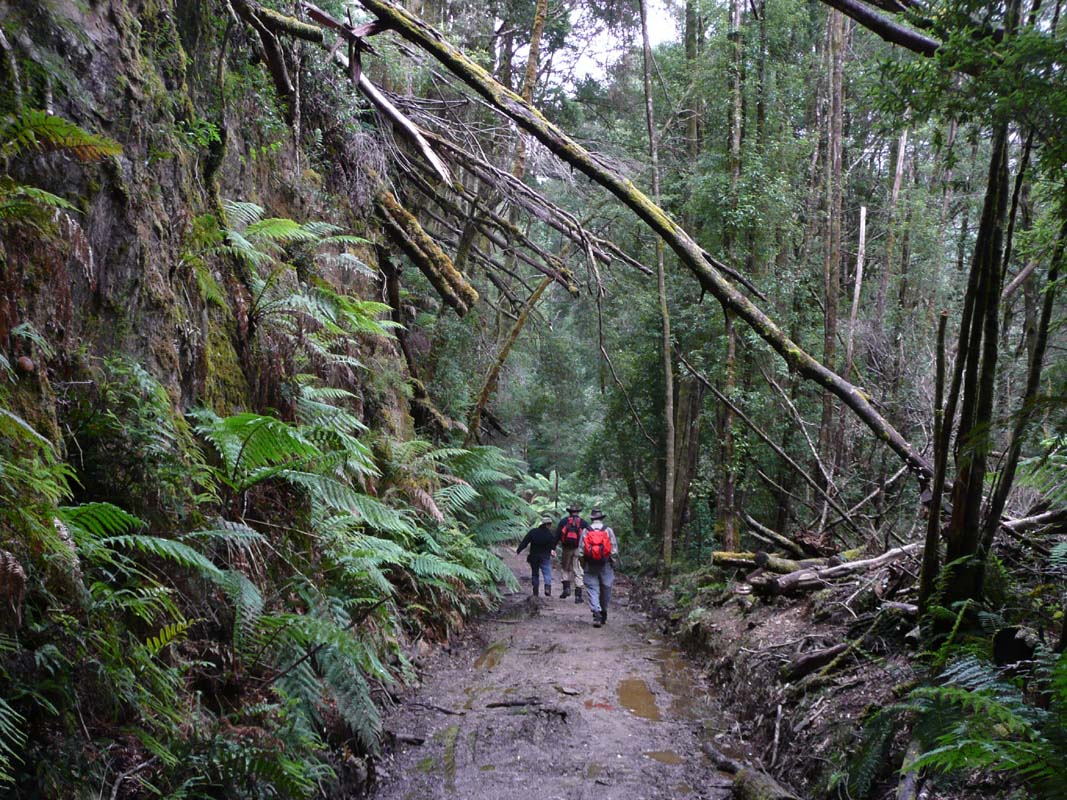
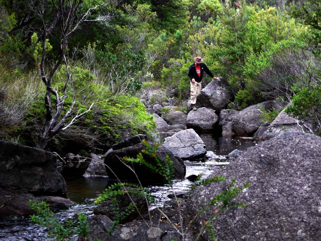
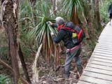
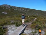
Then we head downhill on the Ronny Creek Walk.
the track leads through very pretty grassy areas; Pandanus
grow along the small creek.

The picnic area at the bus stop at Ronny Creek invites to
sit and have a rest.
But soon the bus comes and takes us back to the visitor centre.
We decide to take advantage of the good weather and visit
the Pencil Creek Waterfall and head across
the road and start the Enchanted Walk.
Besides some interesting trees and mosses we also find myrtle
oranges.
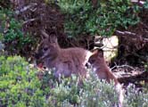
Then we spot some very furry kangaroos and an echidna makes
its way through the undergrowth.

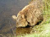
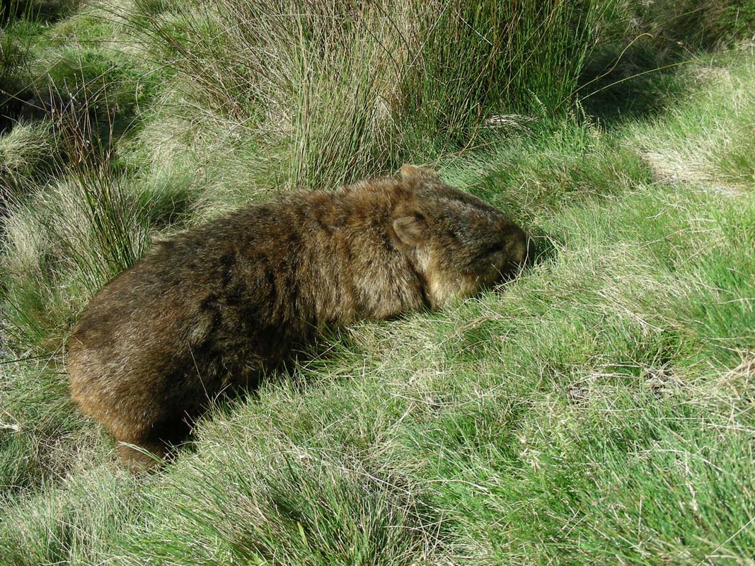
Almost at the end of the walk as we reach the lodge we
see a wombat (Vombatus ursinus) on the other side of the
small lake.
We stalk through the bushes and even dare to get a bit closer
but the wombat takes no notice of us.
Actually it is so used to people that Peter has to get out
of its way as the wombat decides to pass through that area.
Click here to view the movie.
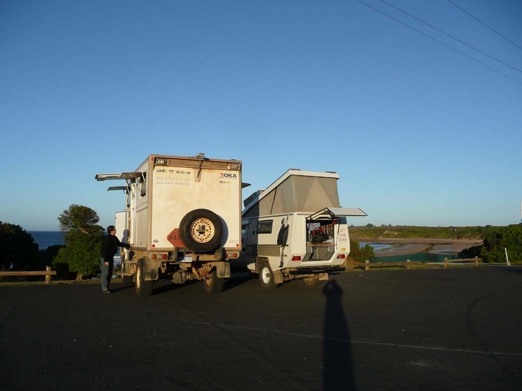
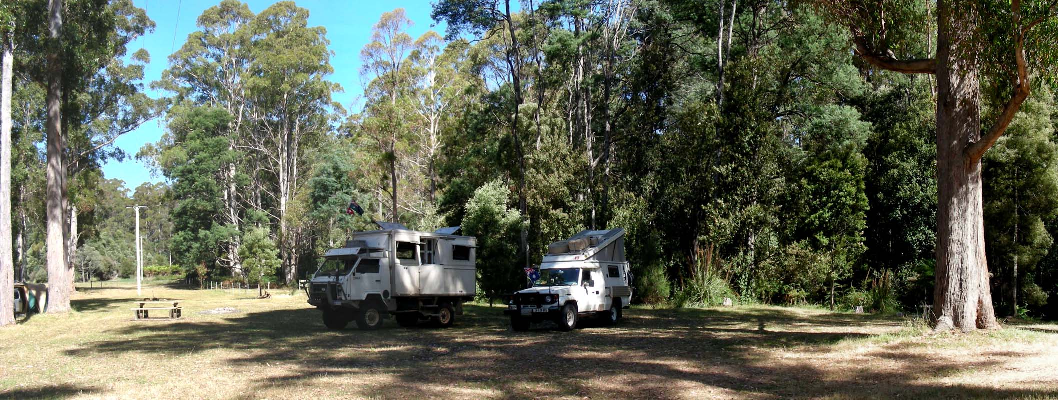
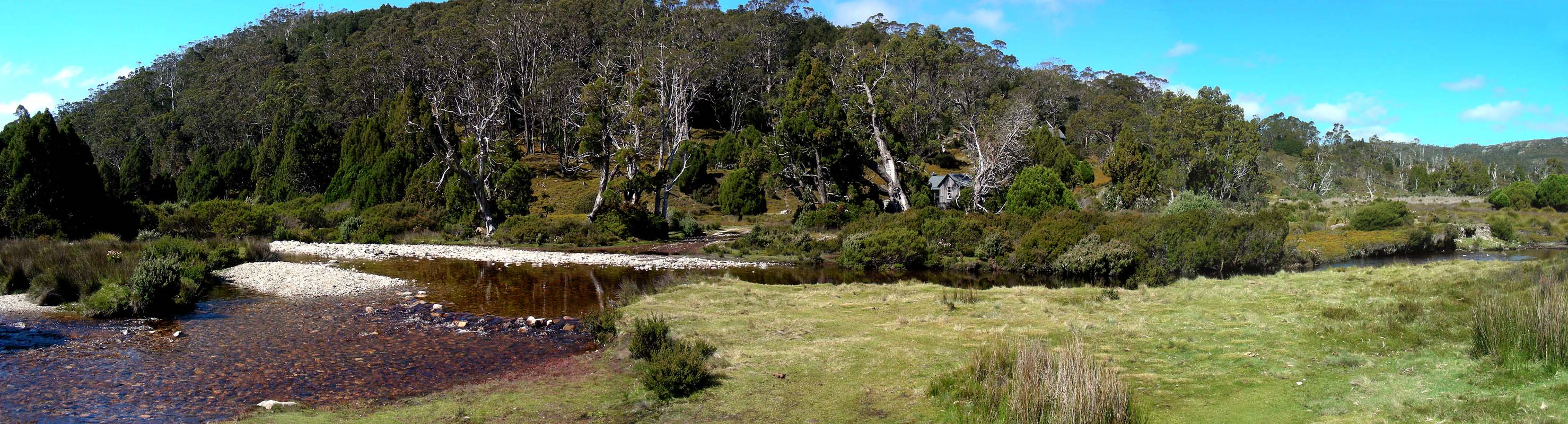
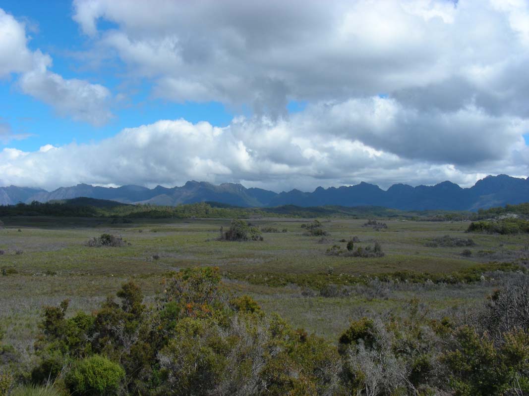
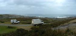
Then we leave the park and head down to the Middlesex
Plains, where we had taken a GPS position of a
flat area just beside the creek without a "Camping
forbidden" sign.
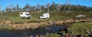
The spot is already taken by two campers but on the other
side of the road there is another flat area which is just
perfect for us.
We stay for the night.
It gets cool soon after sunset.
At 9 PM the temperature has already dropped to 12 °C.
This is going to be a cold night so we turn on the heating.
On Wednesday, January 28, we check the thermometer: 0.5°C
was the minimum temperature during the night.
Freshhhhhhhh ....
Early we head up to the transit terminal in the Cradle
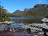
Mountain Park and catch the bus up to Dove Lake.
The sun warms strongly and it is already time to remove the
jackets.
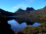
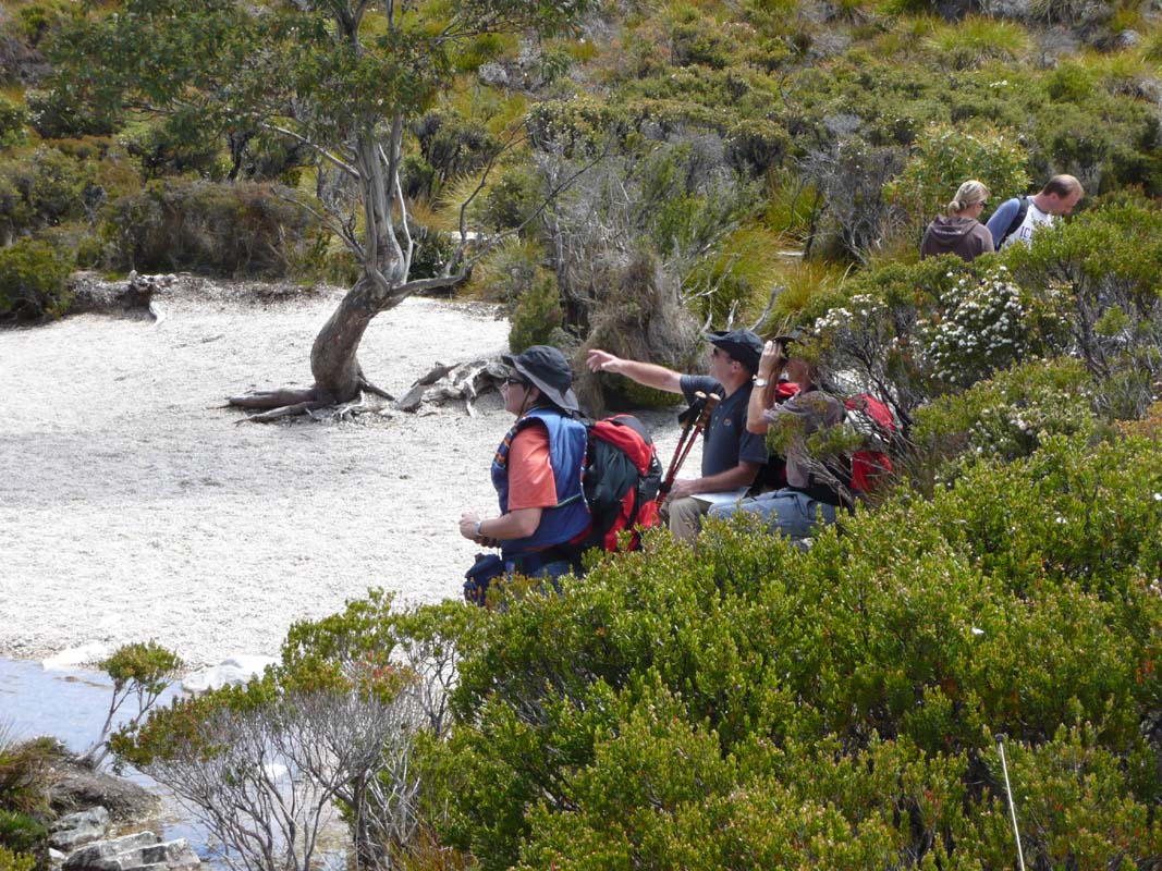
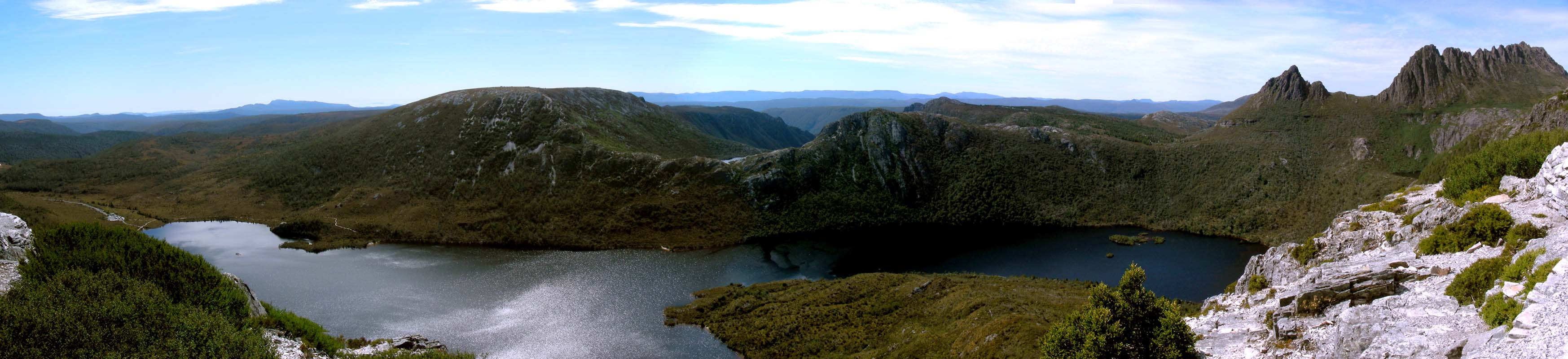
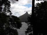
There is on wind and Cradle Mountain reflects very prettily
on the lake.

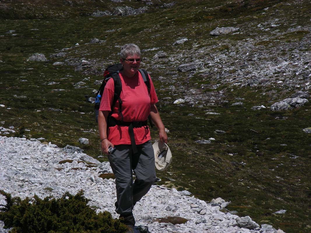
Then we head out to Lila Lake and Wombat Lake.
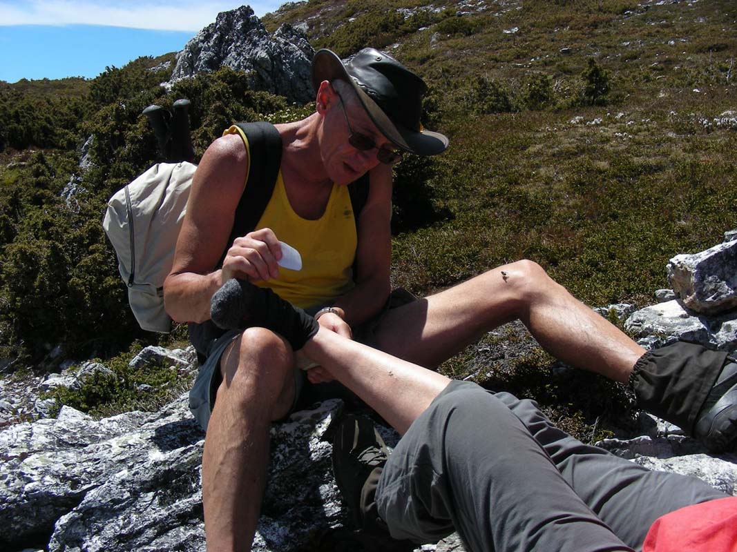
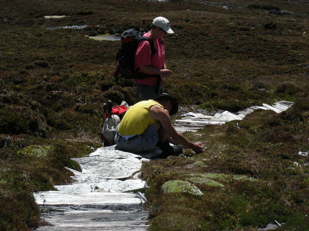
Heidi has problems with her shoes; soon she has some blisters
that need some attention.

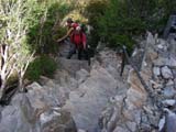

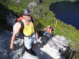
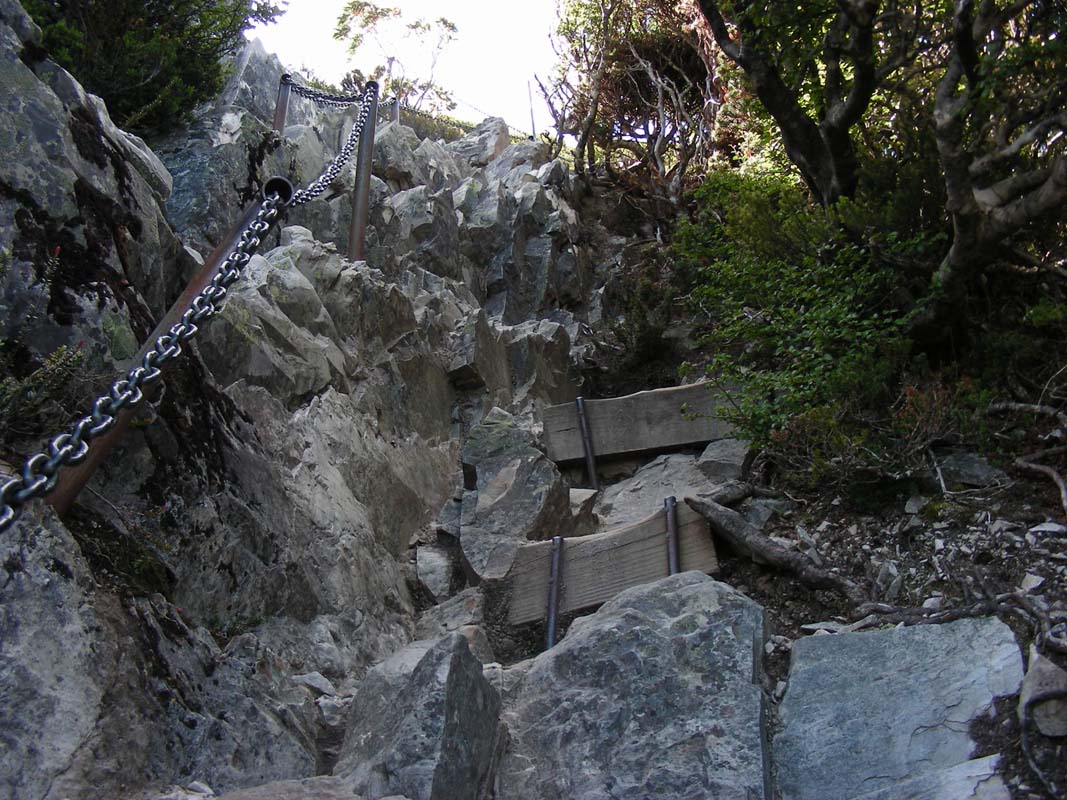
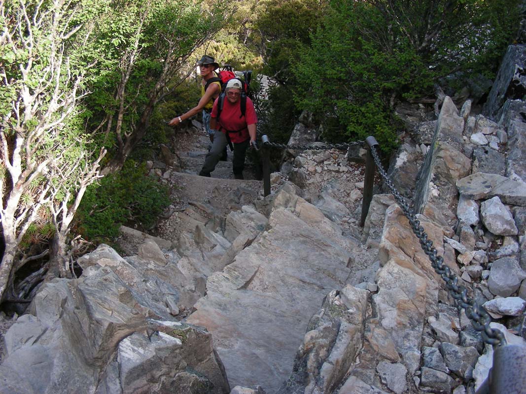
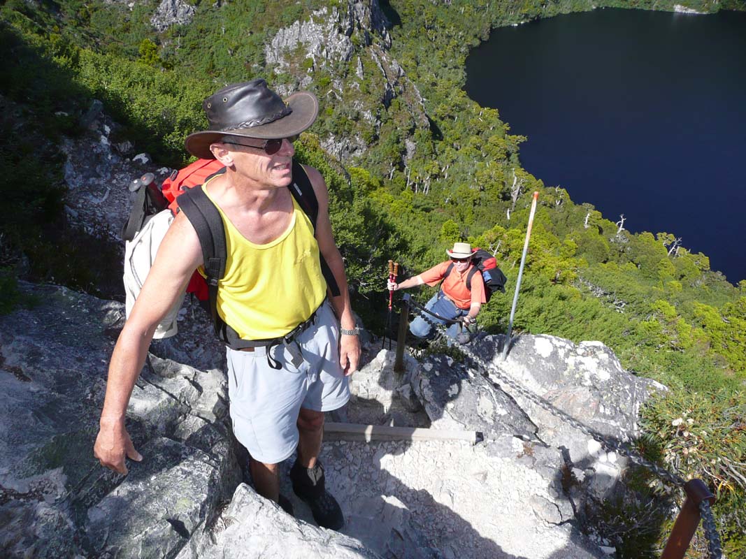
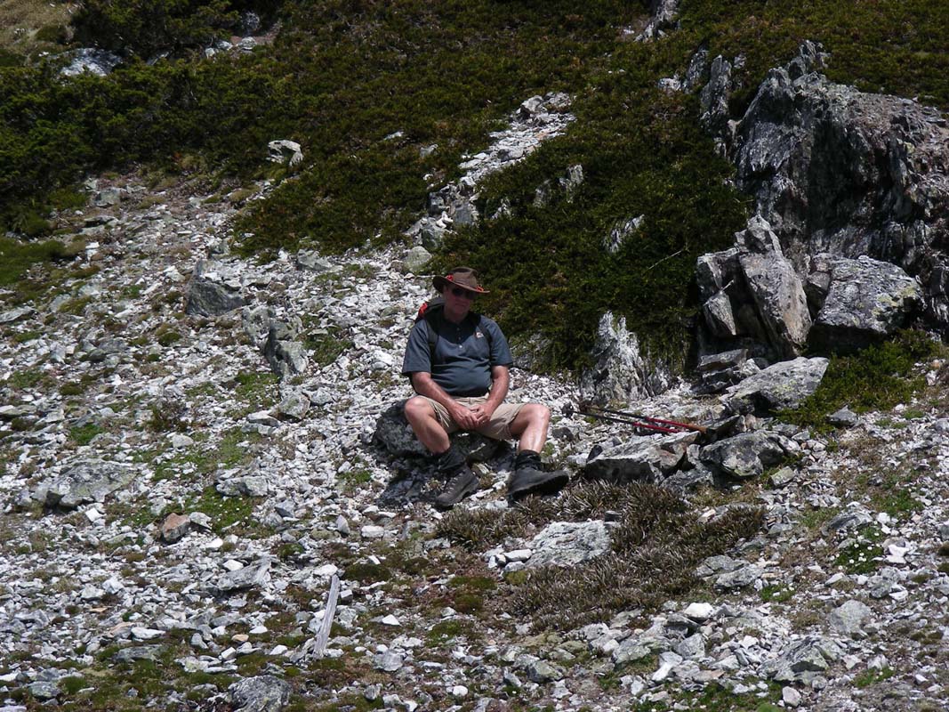
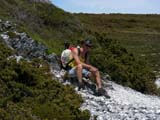
The climb up to Marion's Lookout is quite
steep.

As we climb the Crater Lake gets visible.
It can only be seen from the few walks up to the Kitchen
Hut underneath Cradle Mountain.
The panoramic view alone is well worth the effort of getting
up there.
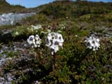
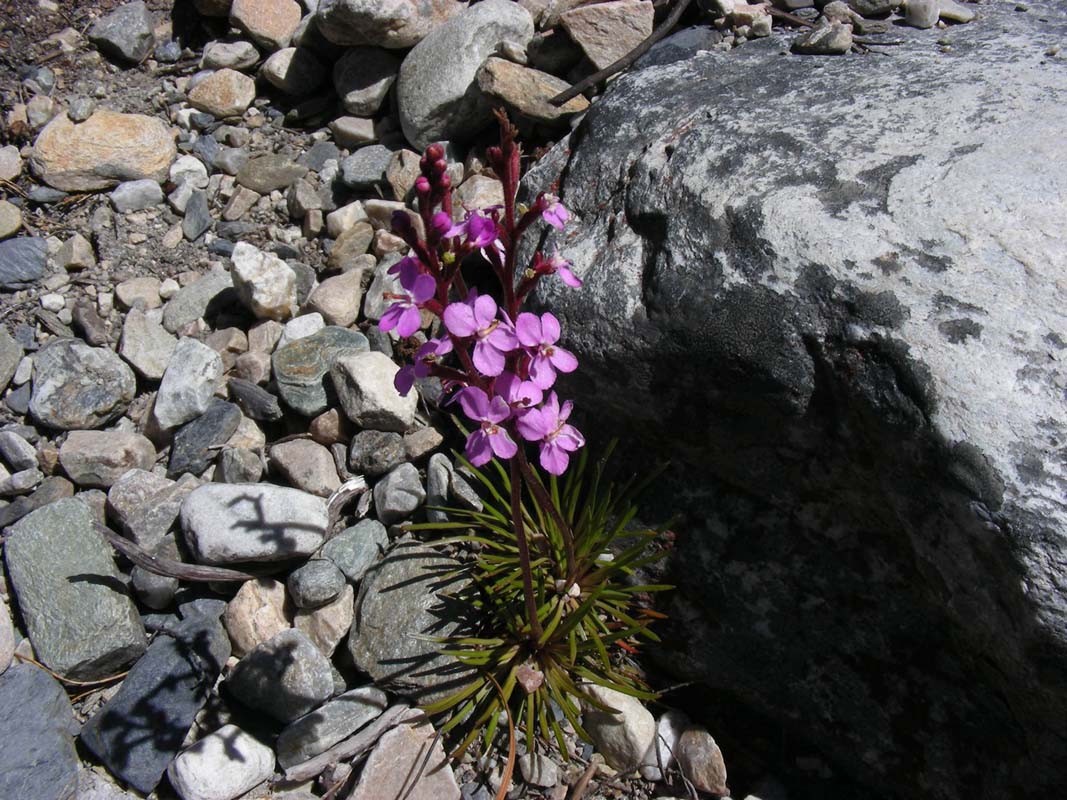
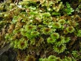
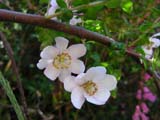
On the way some interesting mosses and flowers come to
our attention.

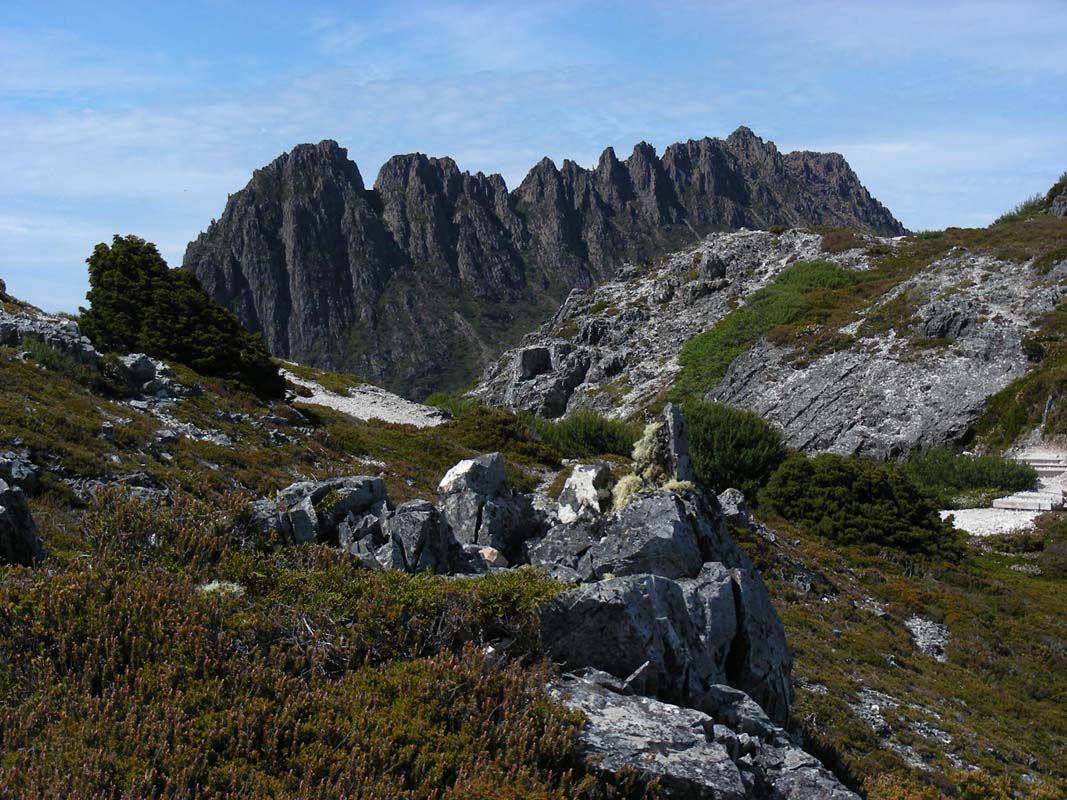
The views of Cradle Mountain get better
and better and the temperature gets warmer and warmer.
The sun is really burning down from the sky now.
This is great!
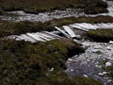
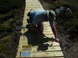
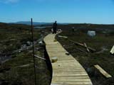
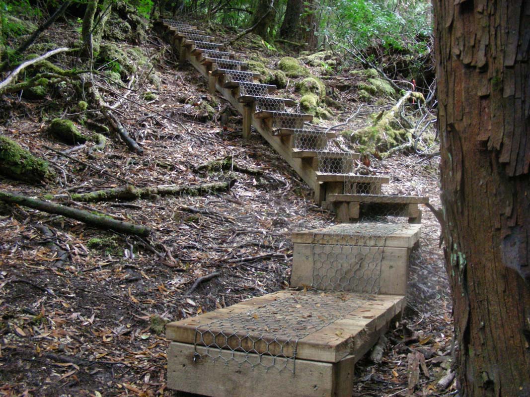
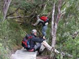
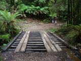
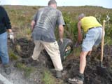
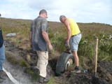
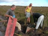
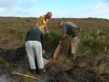
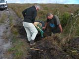
We pass a construction crew that is replacing the old beaten
board-walk with a new one.
Thanks guys, you are doing a great job.
We stop for lunch at Kitchen Hut and decide
not to continue on to the summit of Cradle Mountain but start
heading back.

The blisters make Heidi's life miserable and we try our
best to help her.


We tackle the way back to Ronny Creek in a leisurely way
and take our time to appreciate the pretty views.
Back in the valley we see a wild wombat.
It is about the same size as the semi-wild one from yesterday.
Up here the animals must know that tourist will not harm
them because even though the wombat can hear us it is not
really worried and continues on feeding on the grass around
its borrow.

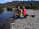
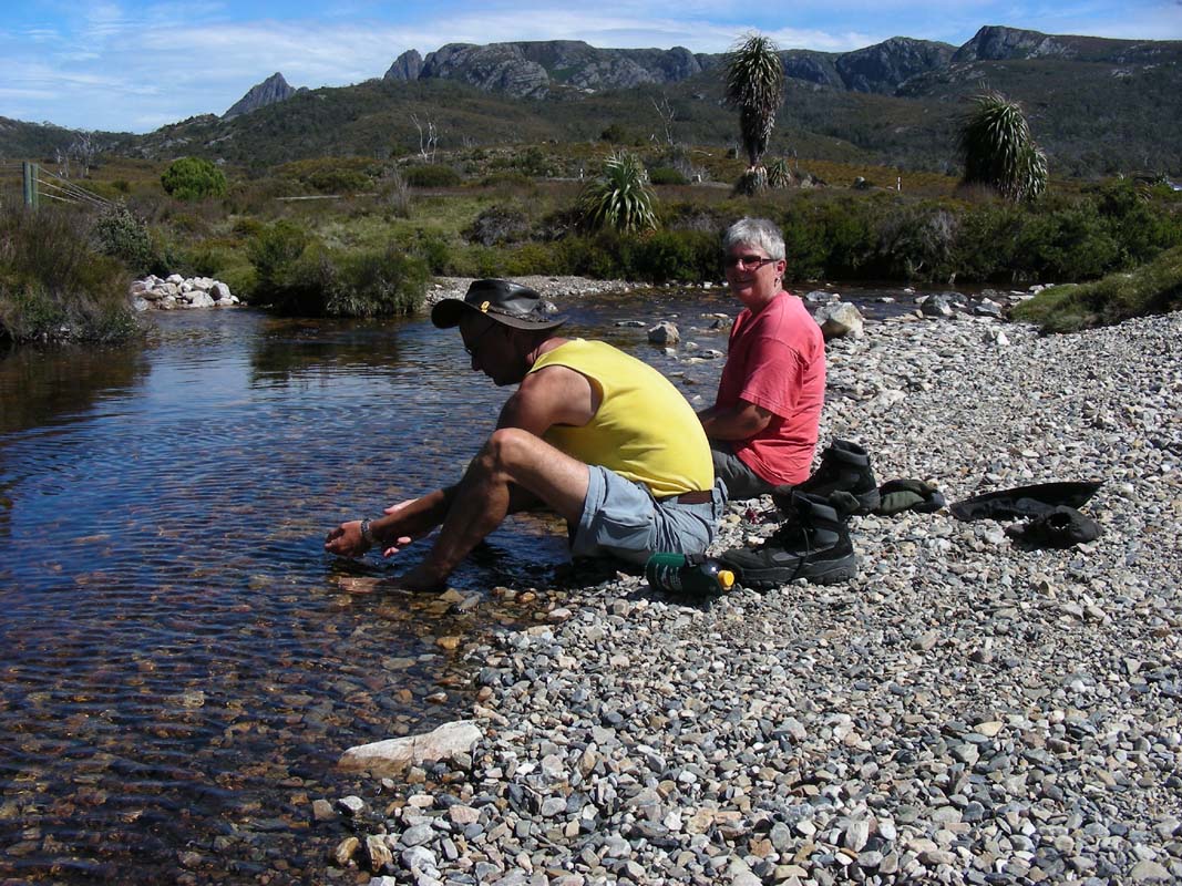
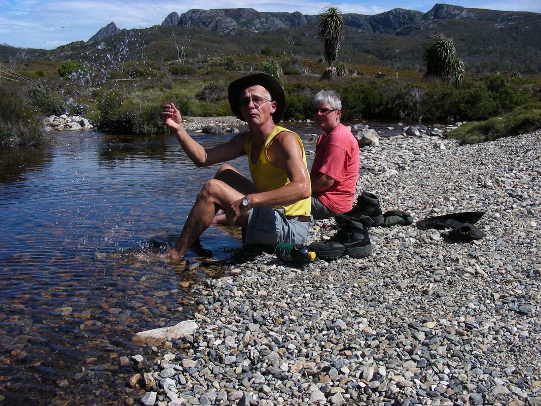
Back at Ronny Creek we place our feet into the cold water
of the small creek.
Bliss!
Then we catch the bus back to the transit centre and head
out to Vale Belvoir Conservation Area where
we stay for the night.
When checking the max. temperature of today we see 31.5°C
.... not bad.
We wonder how cold it will get tonight and are not disappointed.
The temperature does not drop below 17°C and we can sleep
with open windows.
During the night we can hear the animals being active in
the forest but even though we try to find them with the flash
lights we cannot spot them.
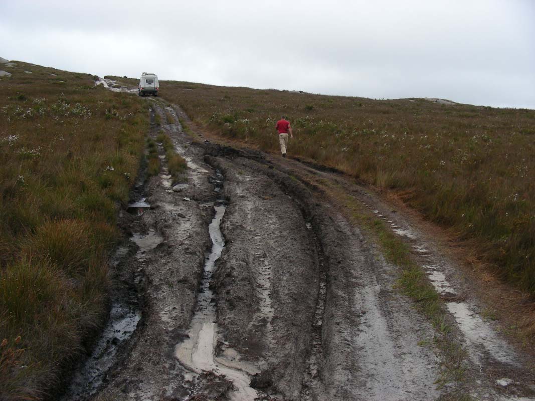
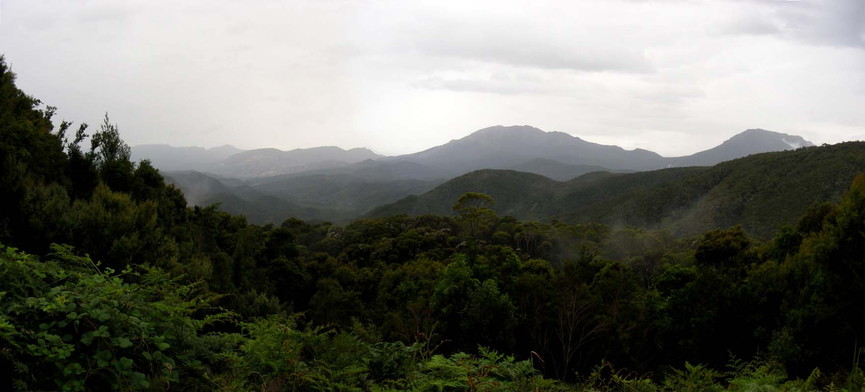
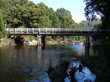
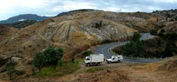
On Thursday morning we head west until we reach the Murchison
Highway and follow the signs towards Wynyard.
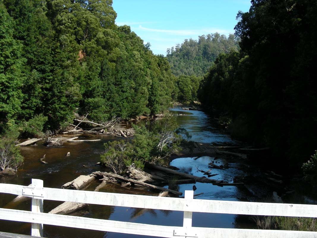
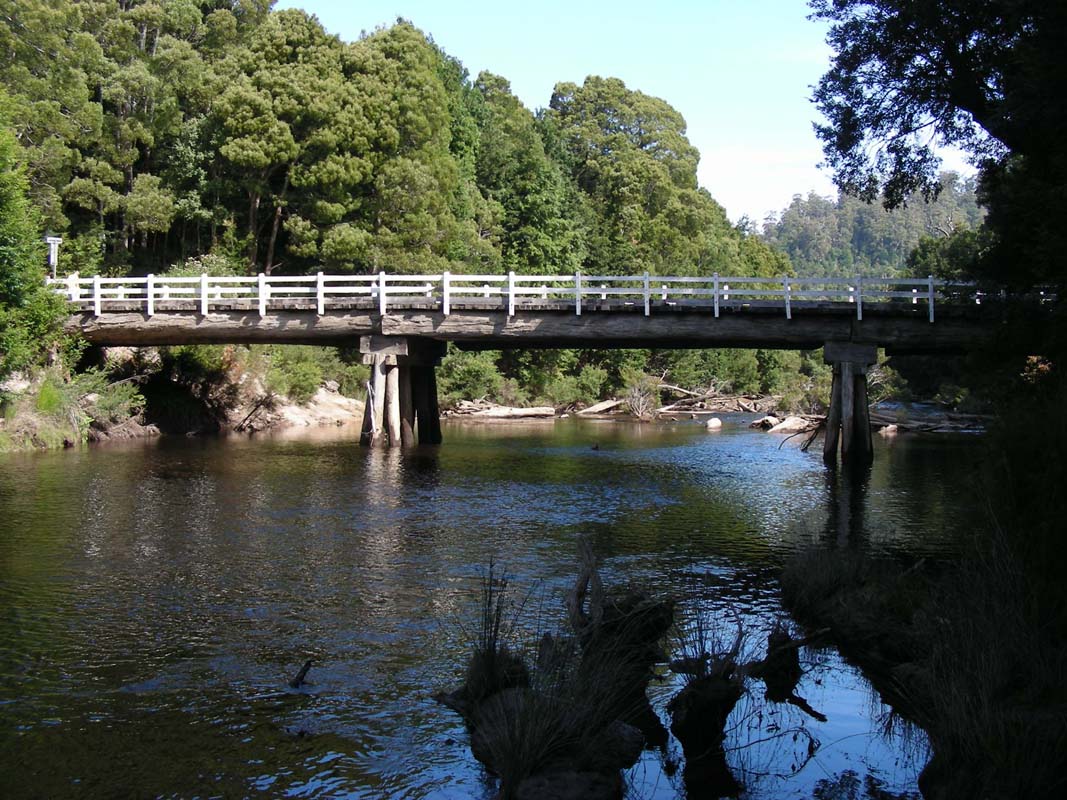
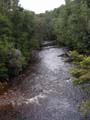
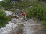
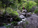
We stop at Hellyer Gorge for a short stroll
along the river.
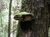
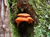
It is a very humid area and large fungi grow on the trees
and the floor.
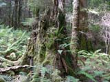
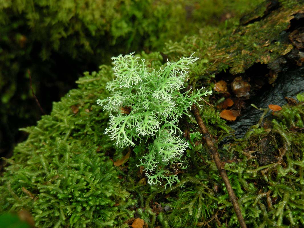
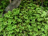
Ferns, mosses and lichens grow all over the place.
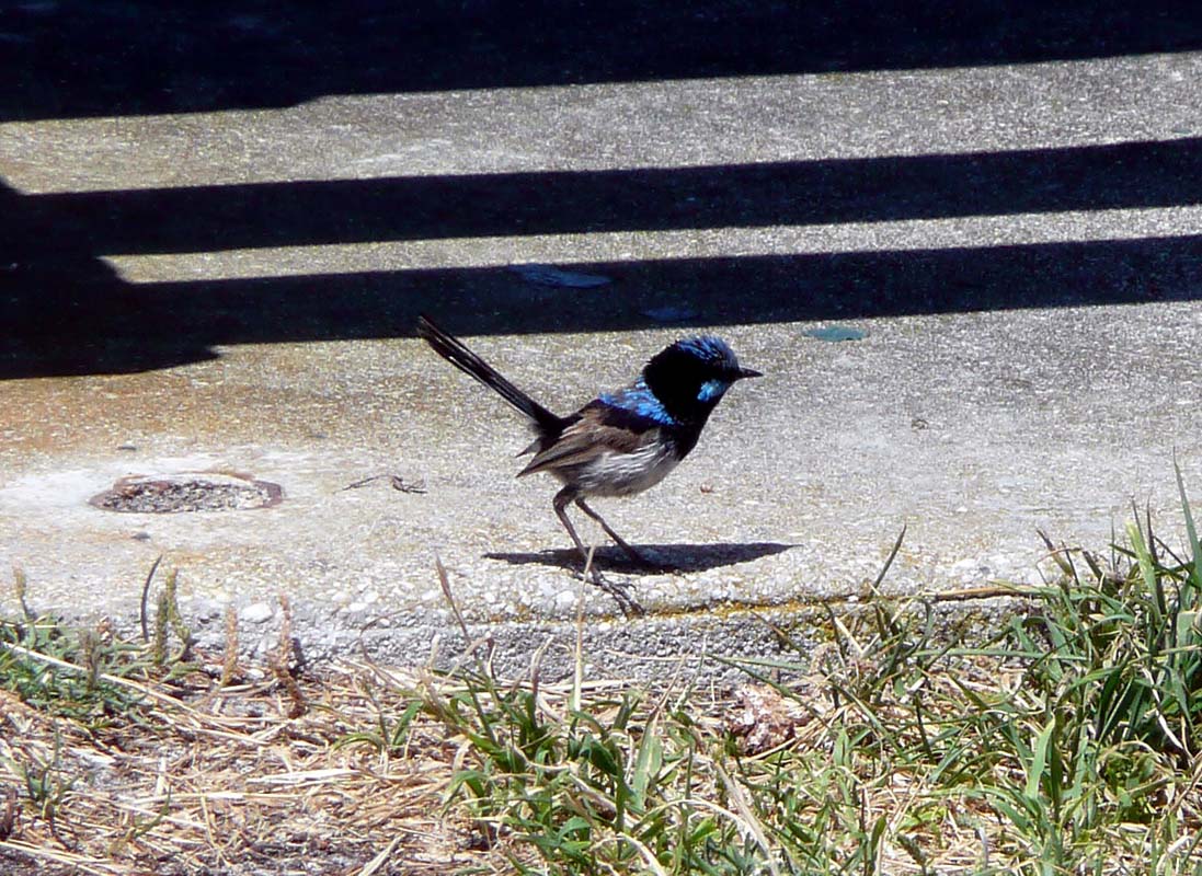
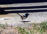
Back at the picnic area a wren displays its blue colours.
We continue on into Wynyard to stock up
before heading west into the forests.
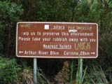
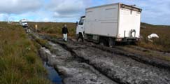
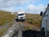
Our next destination is Arthur River and
to get there we pick our first trip from the "4WD Tracks
in Tasmania" guide book.
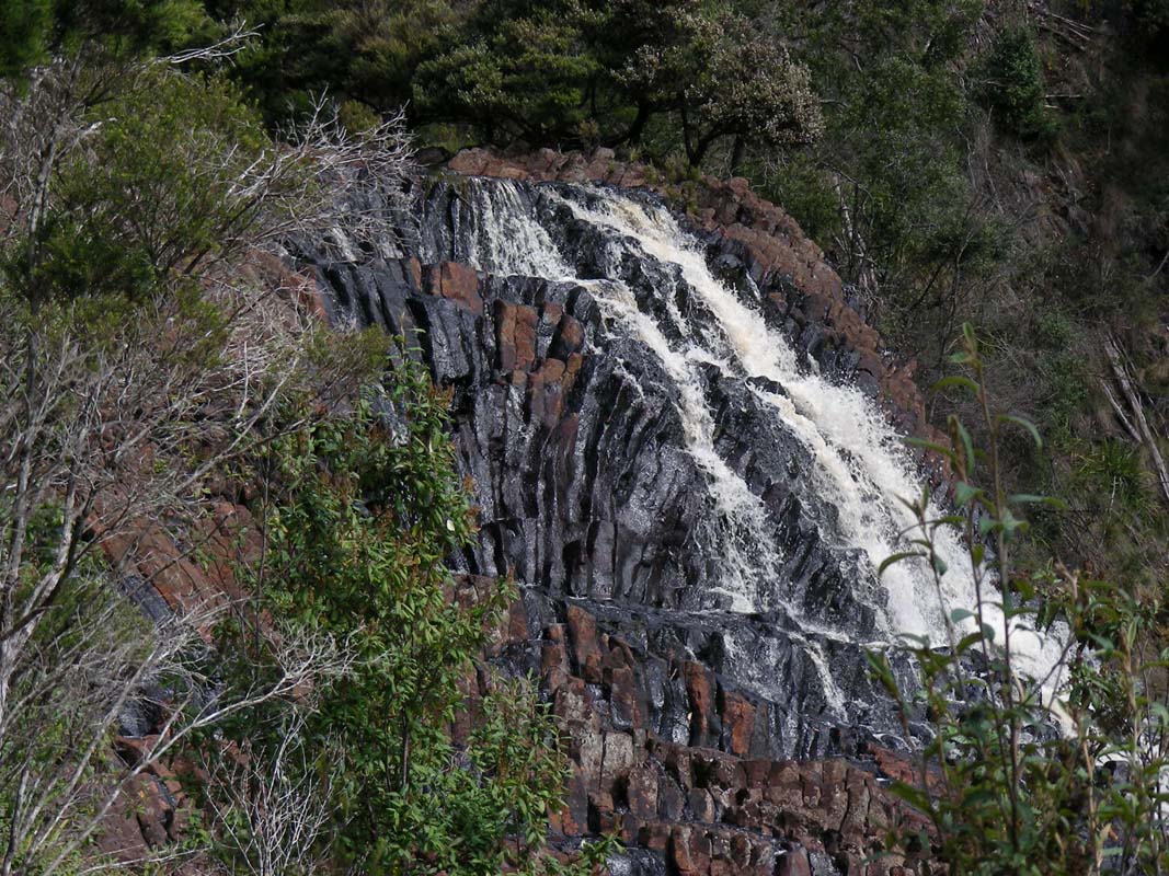
It will take us to the Dipp Falls via Calder Road, Zig Zag
Road and Meuna Road.
The track winds its way through hilly country with tree
plantations.
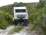
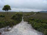
Once we reach the Rabalga Track the road
narrows and the track deteriorates.
There are still a few puddles of muddy water but otherwise
there are no problems but with rain ......
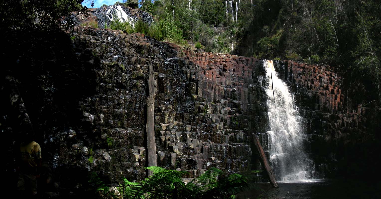
We reach the Dipp Falls and find a nice
picnic area right besides the waterfalls.
Camping seems to be allowed, so we decide to stay here for
the night.
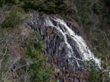
We head down to the falls.
There is still water running over the "organ pipes".
A few trees are lying in the river and on the walls of the
falls.
At times there must be a fair bit of water coming down these
walls.
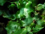

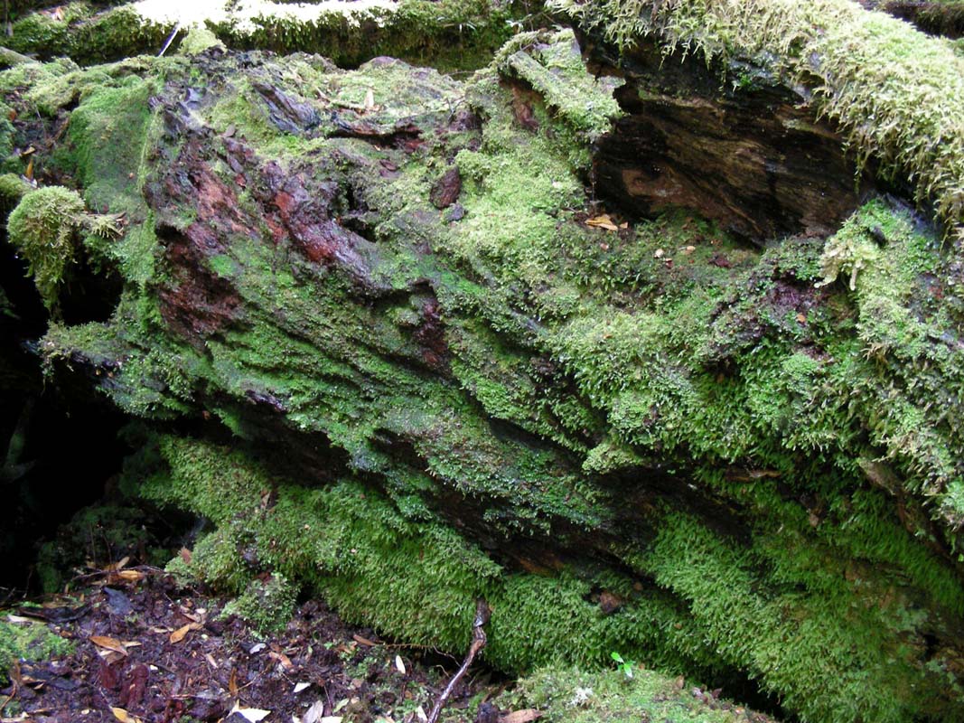
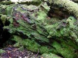
Here again we find some interesting mosses.
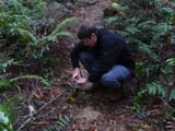
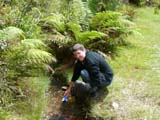
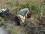
As we inspect the upper section of the river looking for
an echidna that had just disappeared into the woods we spot
a platypus.
Click here to platypus.
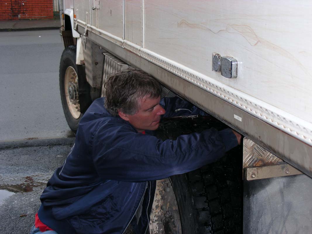
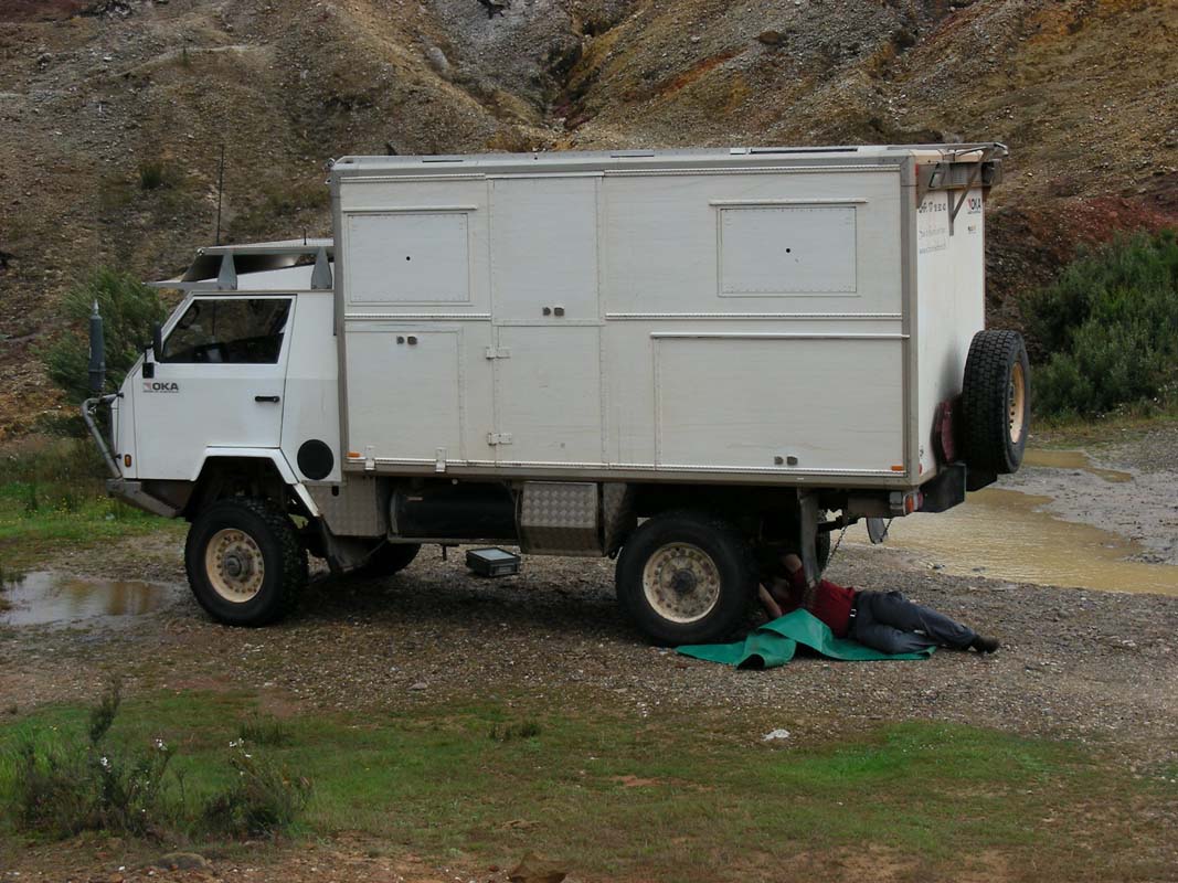
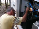
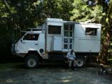
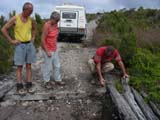
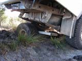
Ruedi and Peter park the vehicles for the night.
During the manoeuvring one of the OKA's mirrors has to give
way to a small tree but luckily Ruedi and Peter can repair
it.
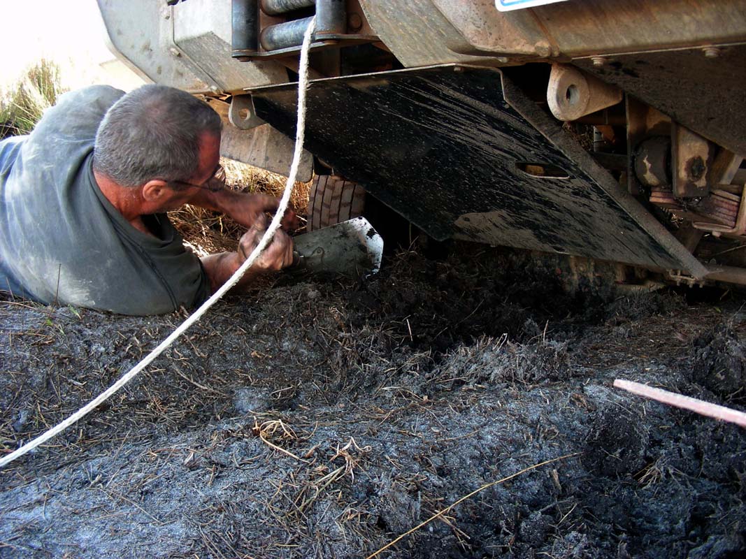
During that operation Murphy is present and one of Ruedi's
screwdrivers falls behind the water tanks.
Not really feeling like removing the tanks to get the screwdriver
out again Ruedi tries to retrieve the tool with all possible
things.
At the end the flexible magnet he had bought to get
the broken off bits of the dog-clutch out of the diff works
and the screwdriver re-appears.
At least we have another reason to carry the flexible magnet
with us now ..... not just to remove bits out of a diff!
On Friday, January 30, after a rather warm (19.6°C)
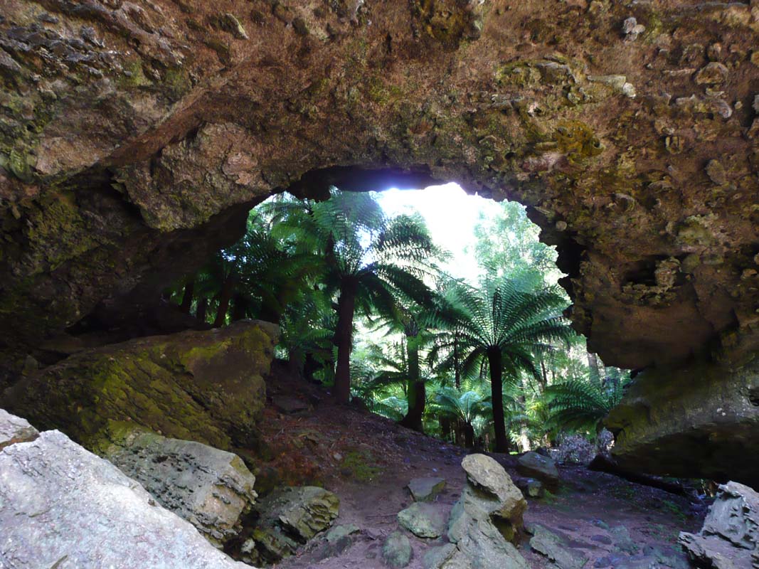
and humid night we continue on to Trowutta and
look for the way to the Trowutta Arch.
First we miss the road that leads to the arch, then we cannot
find the sign that should mark the walking track to the caves.
We drive back and follow the mud map in the guide book and
finally find a walkway leading into the forest.
Well, it says in the guide book that the forest is dense
and one could easily get lost, but we did not expect to have
to find our way through such thick undergrowth and fallen
trees!
Already after only a few meters the vehicles are barely visible
and we decide to fetch the GPS to be sure that we can find
back.
Heidi walks a bit further back along the track we came on
and actually finds the sign and another walking track.
This one even has some orange markers and seems to be the
real one.

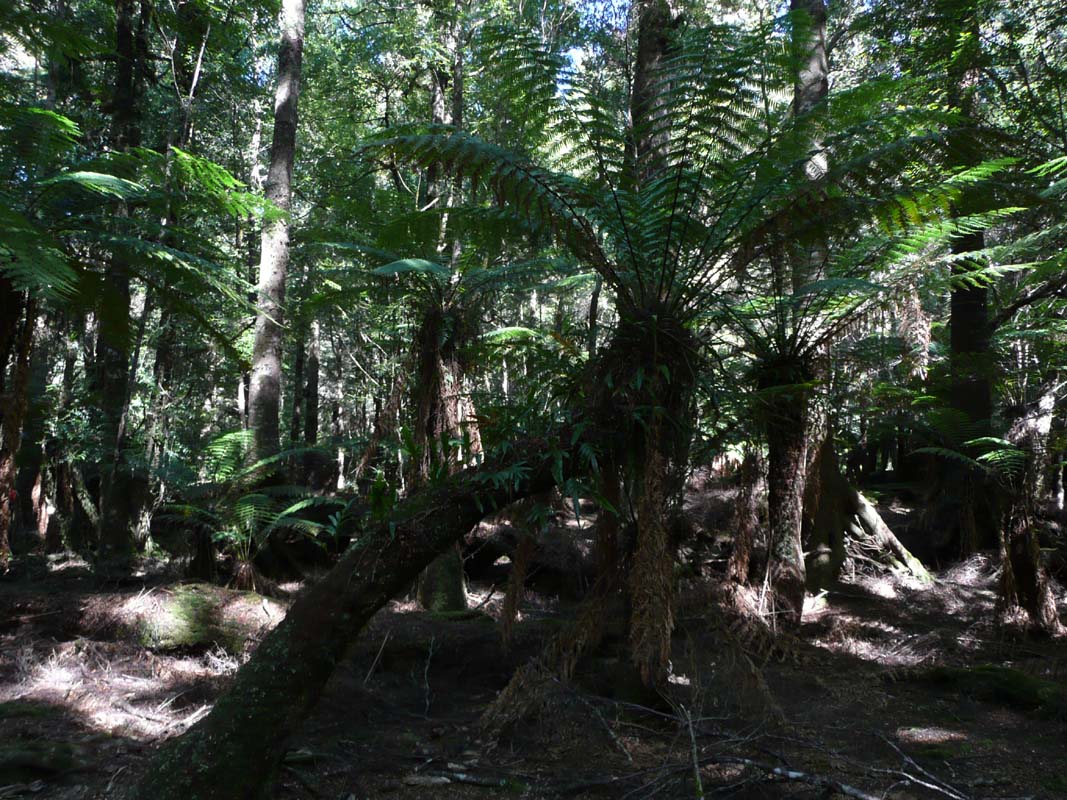
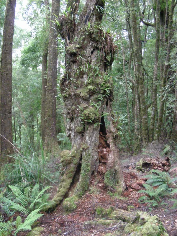
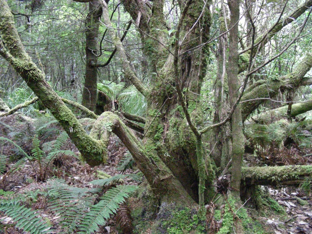
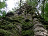
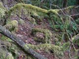
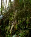
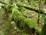
The forest is a real fairy forest, full of mosses, pretty
trees covers with lichens, ferns ... very pretty.
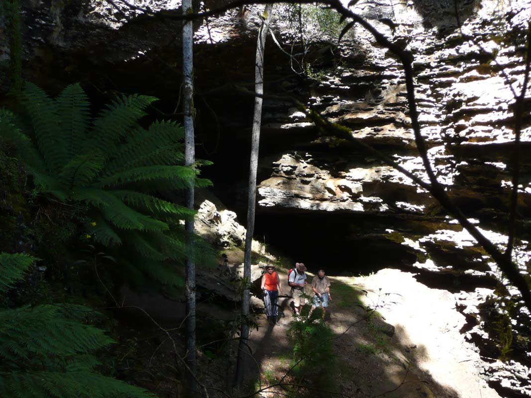
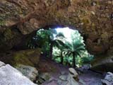
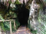
Then we find the caves and the arch.
And we actually find the way back to the vehicles .... without
the GPS, but it is difficult. It's a tricky place.
We cross over to the Bass Highway on a little dirt track
and head west.
The country changes from forests to irrigated cow paddocks
and farms.
The temperature has risen to 35°C in the meantime.
We hear later on that this was one of the hottest days in
Tasi's history!
Next stop is the Dismal Swamps.
We are a bit surprised that they want a 20 AU$ entry fee
....
As we are not really interested in the adventure activities
included in the price and just want to have a look at the
swamp and walk on the board walk, we decide to skip this
one.
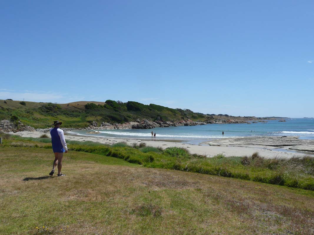
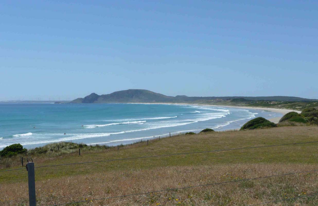
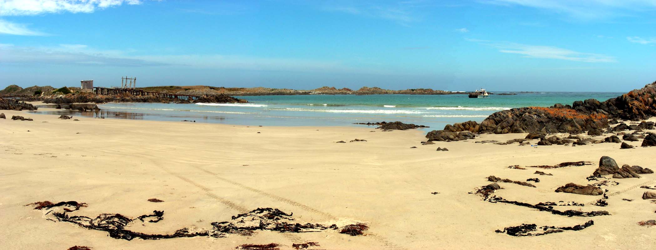
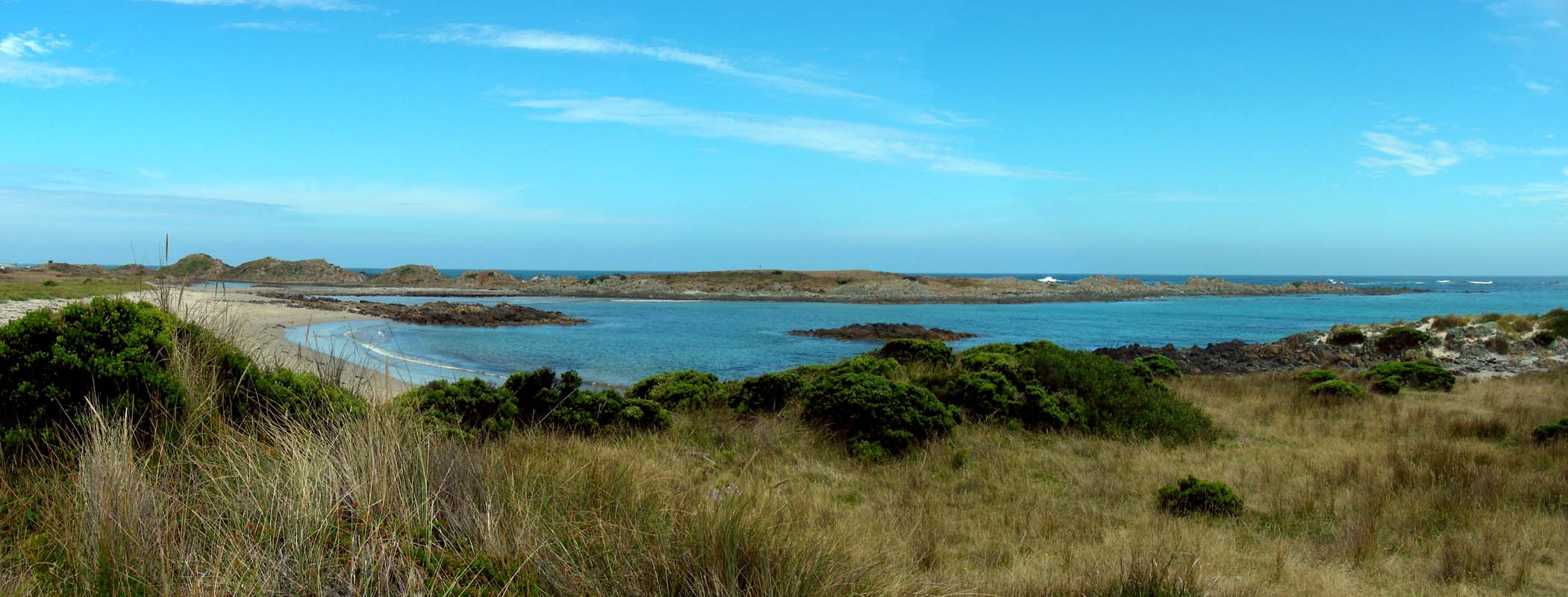
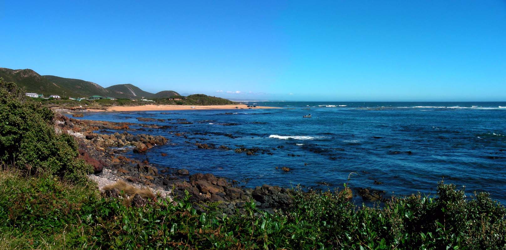
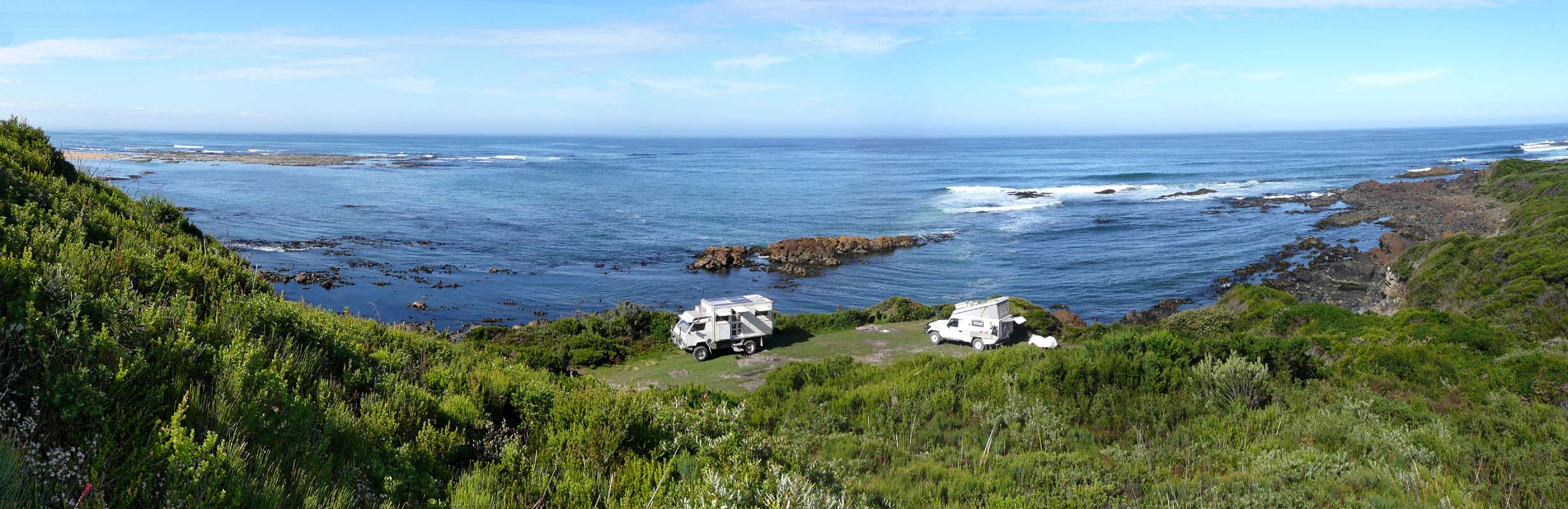
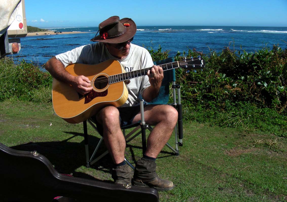
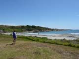
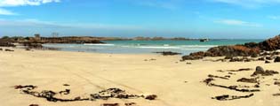
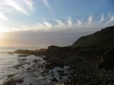
We continue on to Marrawah and head down
to Green Point, a picnic area that also
acts as free camping spot, directly at the beach, with drinking
water, cold water showers and even reception on the NextG
network to access the internet!
There are only two vehicles there so we find ourselves a
flat spot and set up camp.
Then it is time for a swim.
We would never have thought of going for a swim in the ocean
in Tasi but it becomes reality.
It is a great beach with some rocks with pools in it where
the water is only replaced by waves every so often and is
warm.
That is definitely Susi's spot!
The showers after the swim are held rather short because
a cold wind has started to blow.
The temperature drops to pleasant 28°C.
Nice!
As the tide comes in the waves pick up a bit and the surfers
get busy.
The locals know that the water is cold and have developed
their own style of surfing.
Click here to view the movie.
Later in the afternoon some more campers and people with
tents arrive and the area fills.
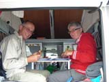
After dinner we work a bit on the pictures then it is time
to go to bed.
Around ten o'clock a car arrives and squashes in between
the OKA and the next camper.
The radio is playing loudly and it seems the two young men
take for ever to set up their tent and getting organised.
Luckily the music they are playing is the John Butler Trio
so we just listen to it until the young men finally turn
it of.
We are not used to people and such "cosy closeness" anymore
... we are not made for caravan parks anymore, we like the
forests with the wind in the trees and the kookaburras that
sing in the evening!
On Saturday morning we are woken up by or neighbours leaving
before seven o'clock.
But they try very hard not wake people up and drive off really
quietly.
Then the next few leave and soon we are back to the vehicles
that were here yesterday when we came.
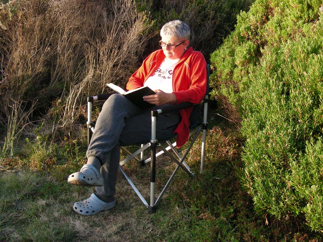
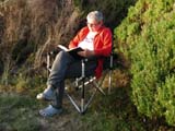
We stay for the day and work on our PCs and some paperwork
for the Swiss Pension Insurance.
A strong wind blows all day and the temperature goes up
and down like a roller coaster.
The highest we see is 27.5°C and just half an hour later
it is down to 20°C again.
In the afternoon more and more campers and people with
tents arrive.
The area fills more and more.
Then after midnight two vehicles with young people arrive.
They seem to be having a good time and are looking forward
to a week of surfing here .... and they let the whole camping
take part in it .... only after closing all windows and hatches
and putting some earmuffs into the ears we can continue sleeping.
Sunday morning greats us with an overcast sky and only 14.5°C.
Well we will be driving a bit so it does not matter of there
is no sunshine, the batteries will be loaded by the OKA's
alternator as we drive.
The weather forecast is for better weather tomorrow and we
hope that it actually will get better already on our way
south.
We head down to Arthur River and stop
at the ranger station to get the permits to drive off-road
in the national park.
We check out a few small beaches but the weather is not
good and it does not make sense to stay.

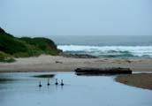
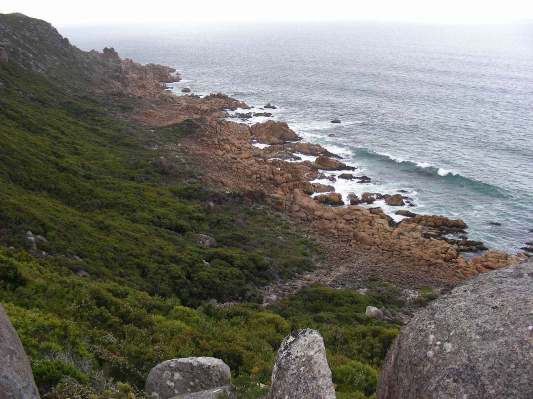
So we head out to Sundown Point, where
we spot some black swans on the small lake.
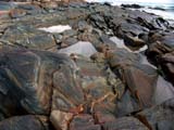
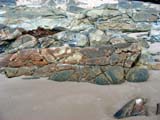
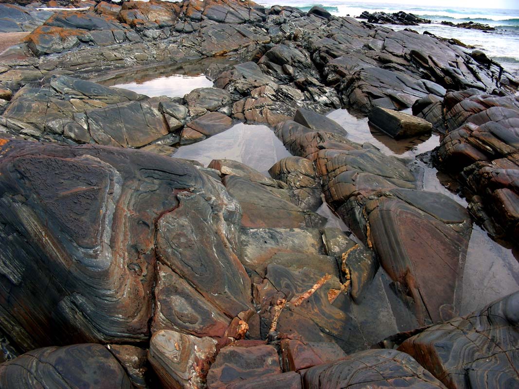
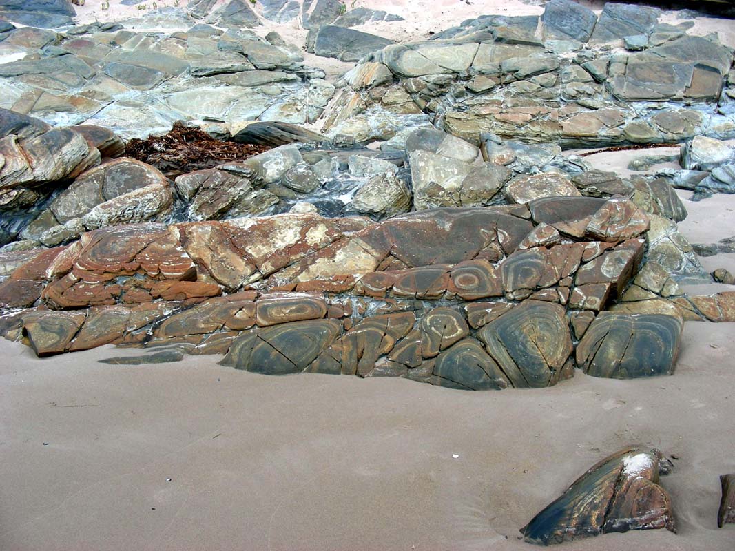
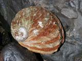
The rocks at the beach are fascinating with lots of different
colours and shapes.
Ruedi finds some pretty snail shells too.
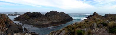
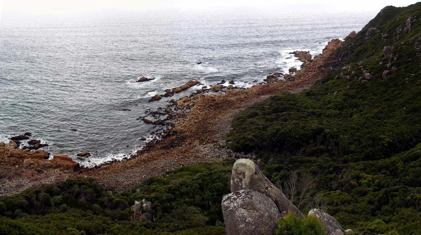
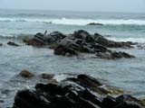
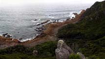
At Sarah Anne Rocks we stay for a while
to watch the waves brake on the rocks.
It is a lovely place and would make a nice camp with excellent
views.
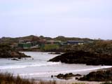
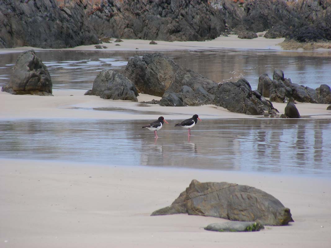
At Couta Rocks we see a strange building
in the small village.
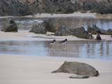
The old jetty is fascinating and some Pied Oystercatchers
make a nice photographic object.
By now the sun has appeared turning the water of the bay
turquoise.
It looks really pretty and inviting.
Also the temperature has risen to 25°C which is not
too bad.
The only downturn is the many march flies that inhabit the
beach areas.
They sting like hell and are a real pain in the bum especially
for the photographers that have to stand still very so often.
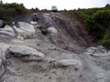
We leave the bitumen and turn into the Western
Explorer, a dirt road that takes us over hills.
The views into the hills are very nice and we have to stop
a few times.
Every so often we see turn-offs into small and sometimes
rather steep dirt tracks.
Most of them are marked as "4WD only" and "dry
weather only".
Just by looking at some of them we are convinced that if
we tried to drive them it could result in heavy work ....
recovery work ... and we don't fancy that at all.
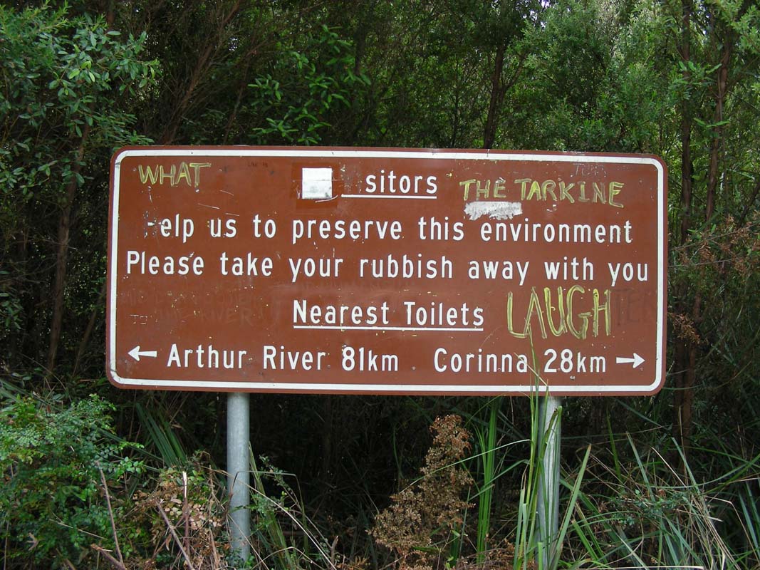
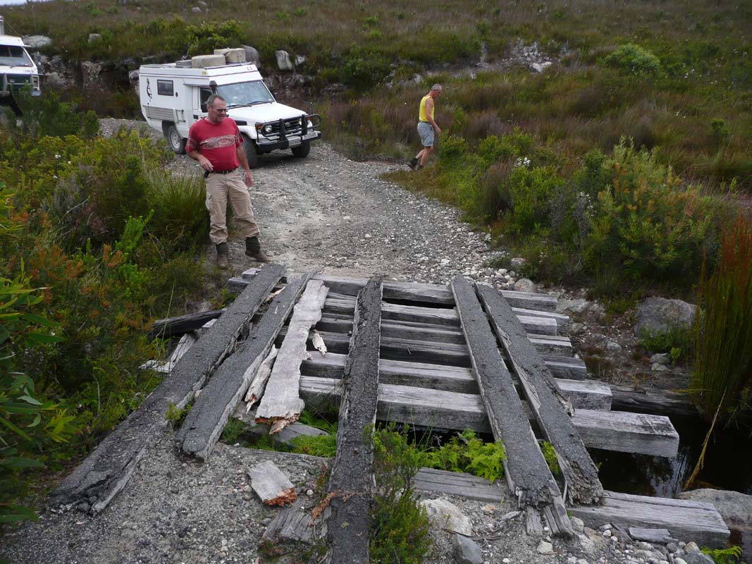
At the Donaldson River Picnic Area we find
a funny sign ....
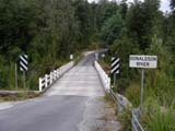
It's a rather long way if one is in a hurry .... nearest
toilet 81 km to one side and 28 km to the other side!
A male person with a good sense of humour must have ordered
the sign ....

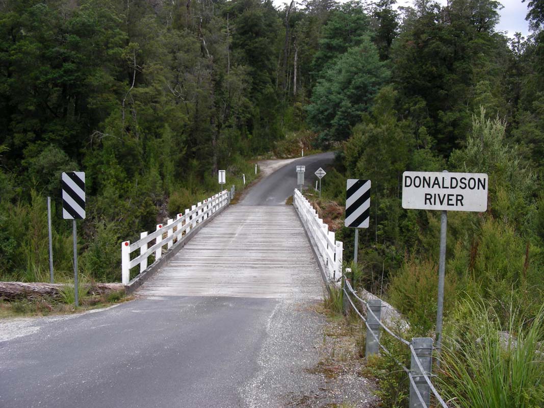
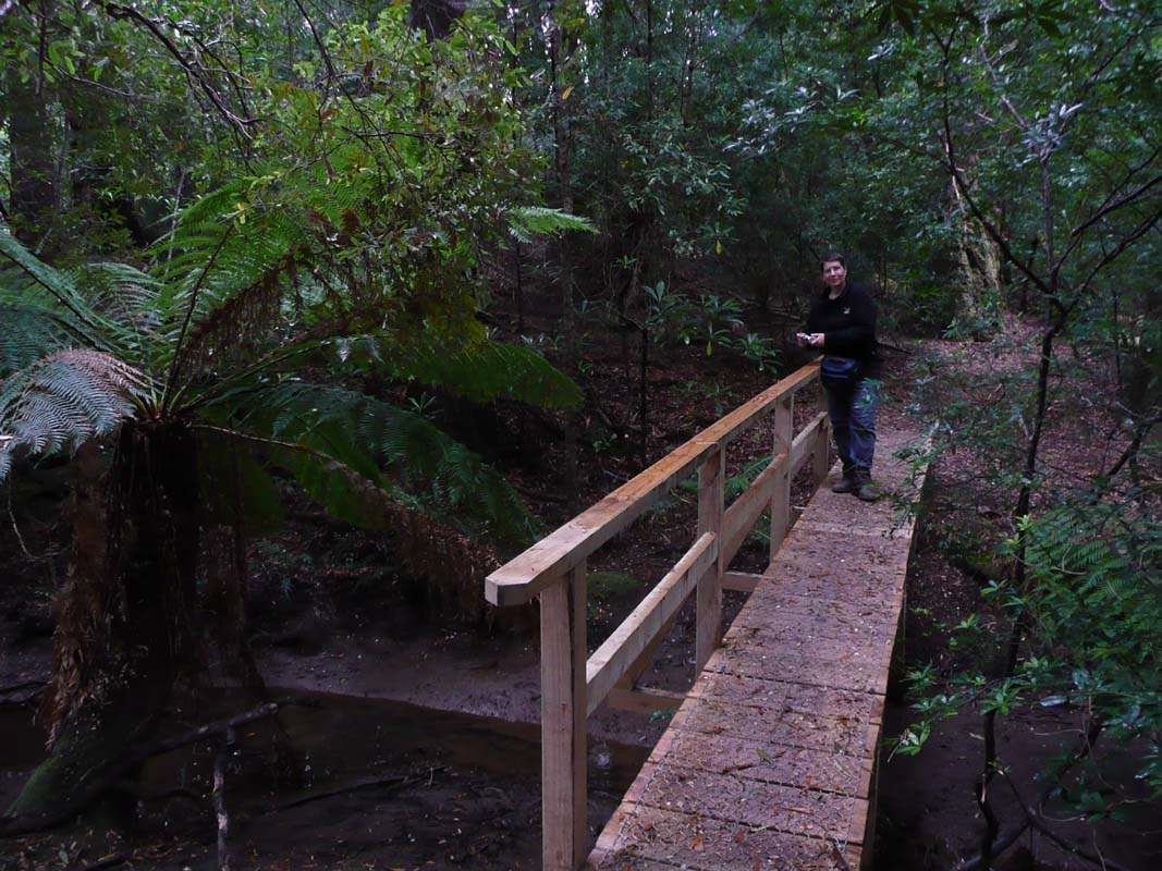
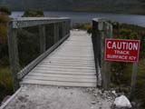
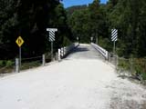
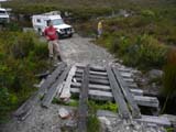
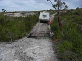
The wooden bridge is old but looks to be quite solid.
We will have to get used to them .... or head back to the
main land with the OKA ....
But as logging trucks use the same bridges we forget our
concerns and just drive over them if there is no weight restriction,
no matter how the bridges look like.
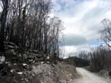
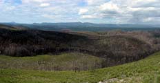
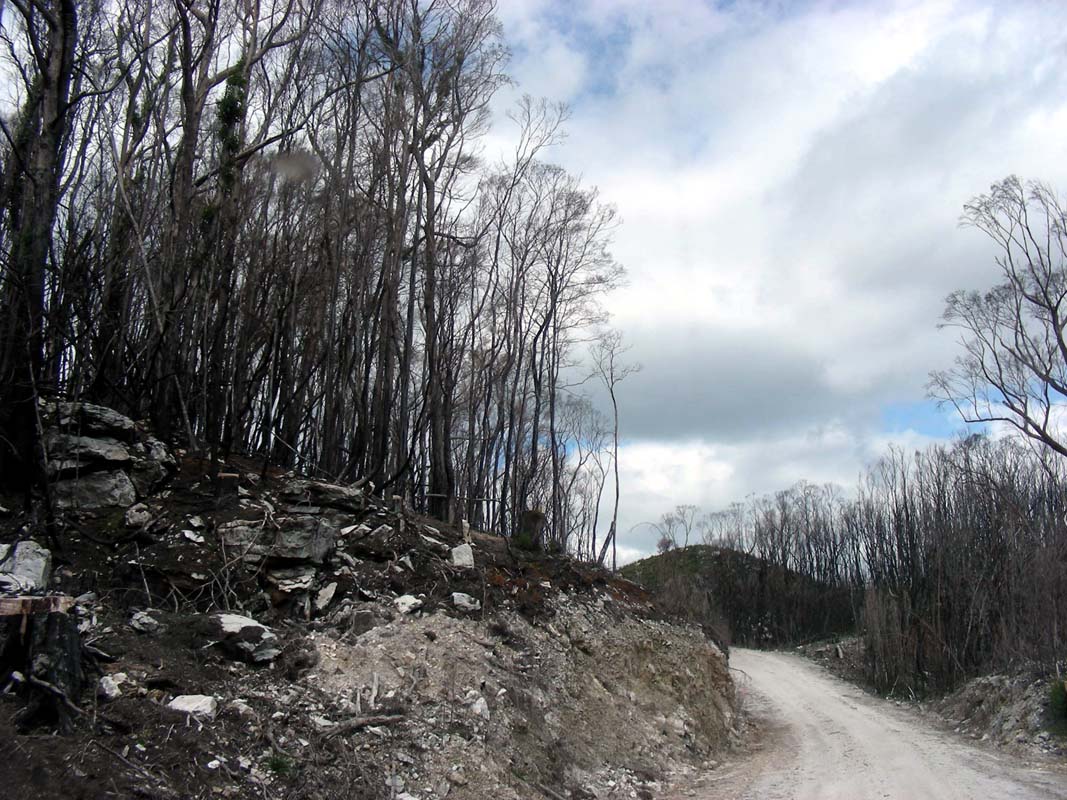
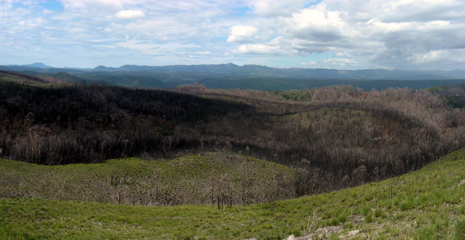
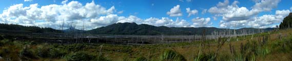
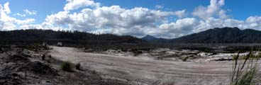
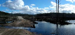
We continue on through some very badly burned areas.
The fires must only just recently have devastated the area.
It looks shocking.

But nature is fighting back.
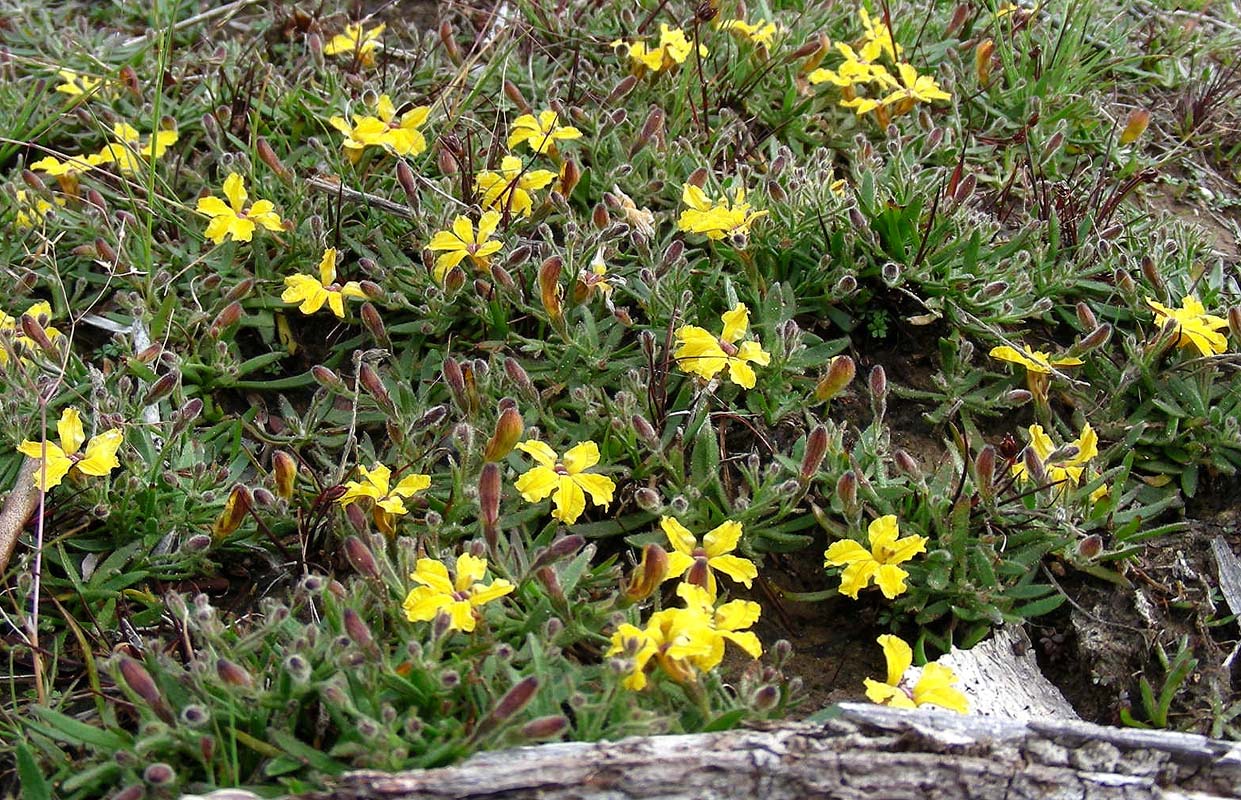
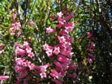
Along the road some pretty flowers are blooming .... as if
they were compensating for the sad views.
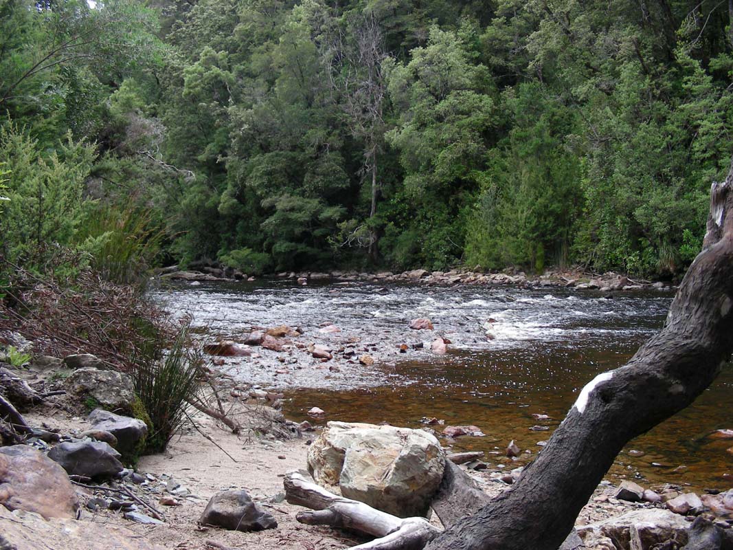
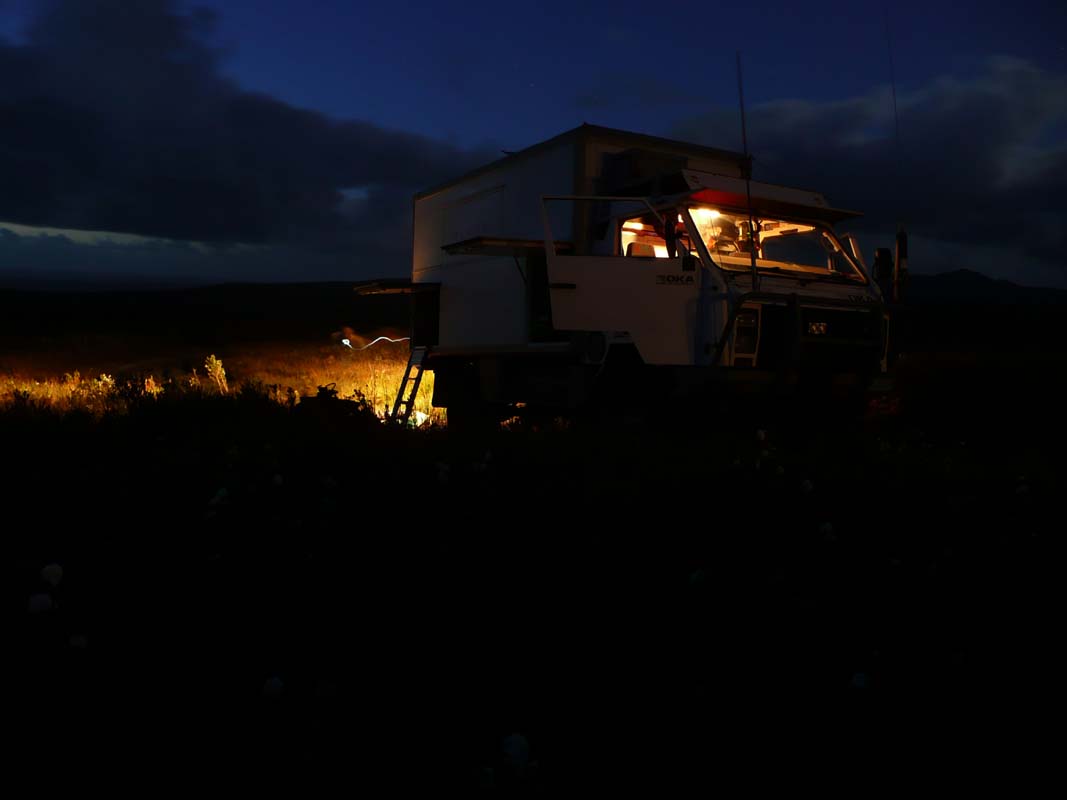
Then we reach Savage River where we find
a nice spot for the night.
Late in the afternoon a car drives up and a young man asks
if he can leave his car here.
He intends to hike up to Mt. Donaldson for
the sunset on the track that starts right opposite of our
camping site.
He is a local tour guide and tells us that the views are
great and the walk 1 hour up and 45 mins down.
We find the idea intriguing to get on top of the mountain
... but decide to do it tomorrow morning.
During the night rain sets in and the temperature drops
to 13.5°C.
Monday, February 2, brings a gray and miserable morning.
With this weather we don't fancy hiking Mt. Donaldson and
decide to head down to Corinna and have
a look around there.
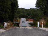
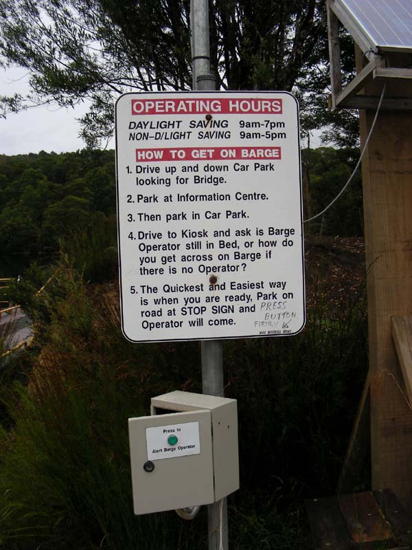
We would like to catch the Ferry across the Pieman
River but in the guide book it says that it is
restricted to 6.5 Tone, just a wee bit more than the empty
OKA weighs ....
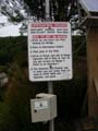 |
We like the sense of humour they have here ....
HOW TO GET ON BARGE
1. Drive up and down Car Park looking for Bridge.
2. Park at Information Centre.
3. Then park in Car Park.
4. Drive to Kiosk and ask is Barge Operator still in
Bed, or how do you get across on Barge if there is
no Operator?
5. The Quickest and Easiest way is when you are ready,
Park on road at STOP SIGN and Operator will come. |
At Corinna we meet the man from last evening again.
He gives us details regarding the local walks and we decide
to go on the Huon Pine Walk and then continue
on the Savage River Walk.


The walk leads through some very pretty forests.
Again and again we have to stop to have a closer look.

Crawling around on the floor reveal many things ...

... that cannot be seen when just walking past ...
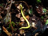
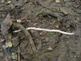
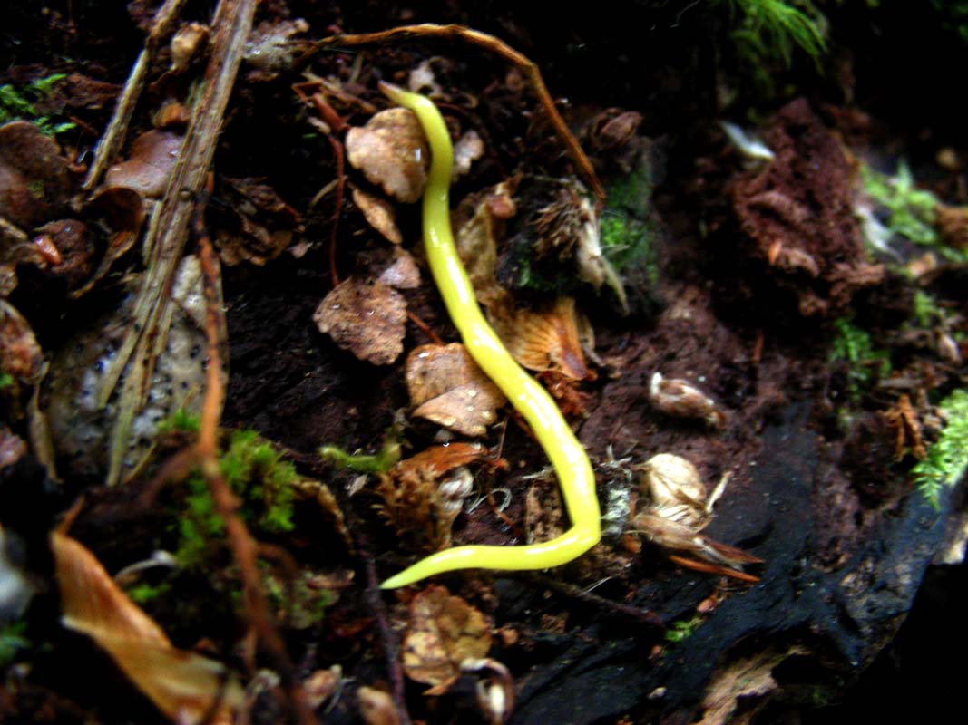
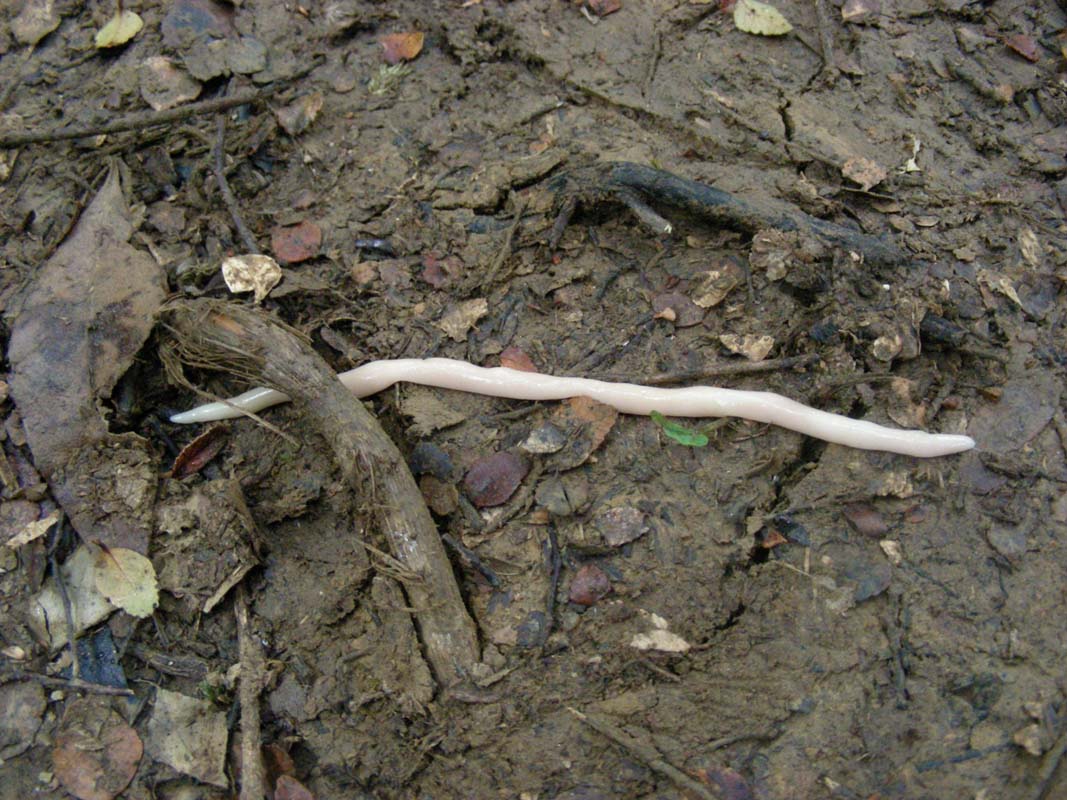
We also find some bright yellow and a cream coloured earth
worms.
Then the rain sets in.
We see it when we can look through the dense foliage but
only the odd large drop really falls on us.
But the humidity is close to 100%, we all sweat a fair bit
even though it is not really warm and the track up the small
hill is not that steep.


Looking at the board walk they are used to this kind of
weather here ....
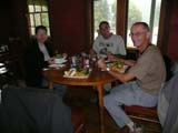
As a reward because of the rain we treat ourselves to a nice
lunch at the Hotel.
Then we head over to Savage River, where
the bitumen starts again.
The road climbs up into the mountains and soon we are above
700 m over sea level.
The weather is rather disgusting, some rain, some fog, quite
cold ... very unpleasant.
Then it goes down again, pretty steep.
We pass Waratah, a little town with lots
of small but cute houses and then reach the Bass
Highway again on which we head south.
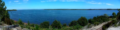
Soon we reach Tullah and Lake Rosebery.
The lake is full and there seems to be no shortage of water
in this part of Tasi.
Here the weather improves and soon the sun shines, but
the temperature does not climb much over 20°C ....
This is Tasi weather as we actually had expected it, so no
complaints please!
We continue on over the next mountain ridge and reach Rosebery,
a strange little village, somehow not really to our liking.
Still, they have an IGA and we can buy the essentials.
Then we head out to the Montezuma Falls car
park where we stay for the night.
In the protected valley the temperature is much warmer
and we quickly get the apero snacks and sit at the picnic
table and enjoy the warmth.
A pretty skink also basks in the sun.
But as the sun sets it gets fresh and we "head home" into
the protective campers.
Over night the weather deteriorates and on Tuesday morning
we are greeted by light rain.
The weather forecast is for fine weather later in the day
so we decide to walk to the Montezuma Falls.
During breakfast Susi wants to safe the pictures from her
camera to the disk ... and drops the disk!
When Susi plugs the disk into the computer it cannot read
the disk anymore.
That means a loss of data because the last safe onto the
backup disk was done on January 29, the pictures from January
30 and 31 are lost ....
Susi is devastated!
But there is not much she can do ... gone is gone .....
We pack our backpacks and get going.
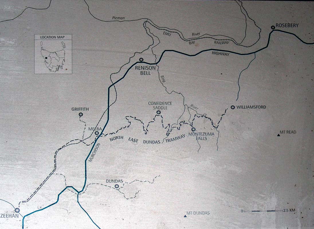
The track to Montezuma Falls follows the route of the North
East Dundas Tramway, constructed during the 1890s.
It linked the smelters at Zeehan to mining operations here
in the hills.
As well as ore, the tramway carried passengers and firewood.
At its peak, 700 tons of firewood was freighted to Zeehan
smelters, each week.
Much of the finished product from the smelters was shipped
to Germany for use in machinery and weapons.
The smelters were closed in 1914 with the outbreak of war
and the track used infrequently till its closure in 1932.
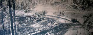
The narrow two-foot wide gauge (called a tramway) was chosen
to suit the winding route and reduce construction costs.
From Williamsford its fifteen kilometres to Zeehan as the
crow flies.
However, in order to maintain a suitable grade, the tramway's
route is three times this distance.
That means a lot of bends - about 60 in every two kilometres
of line!
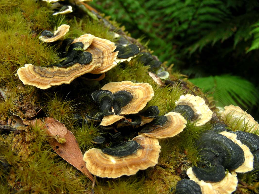
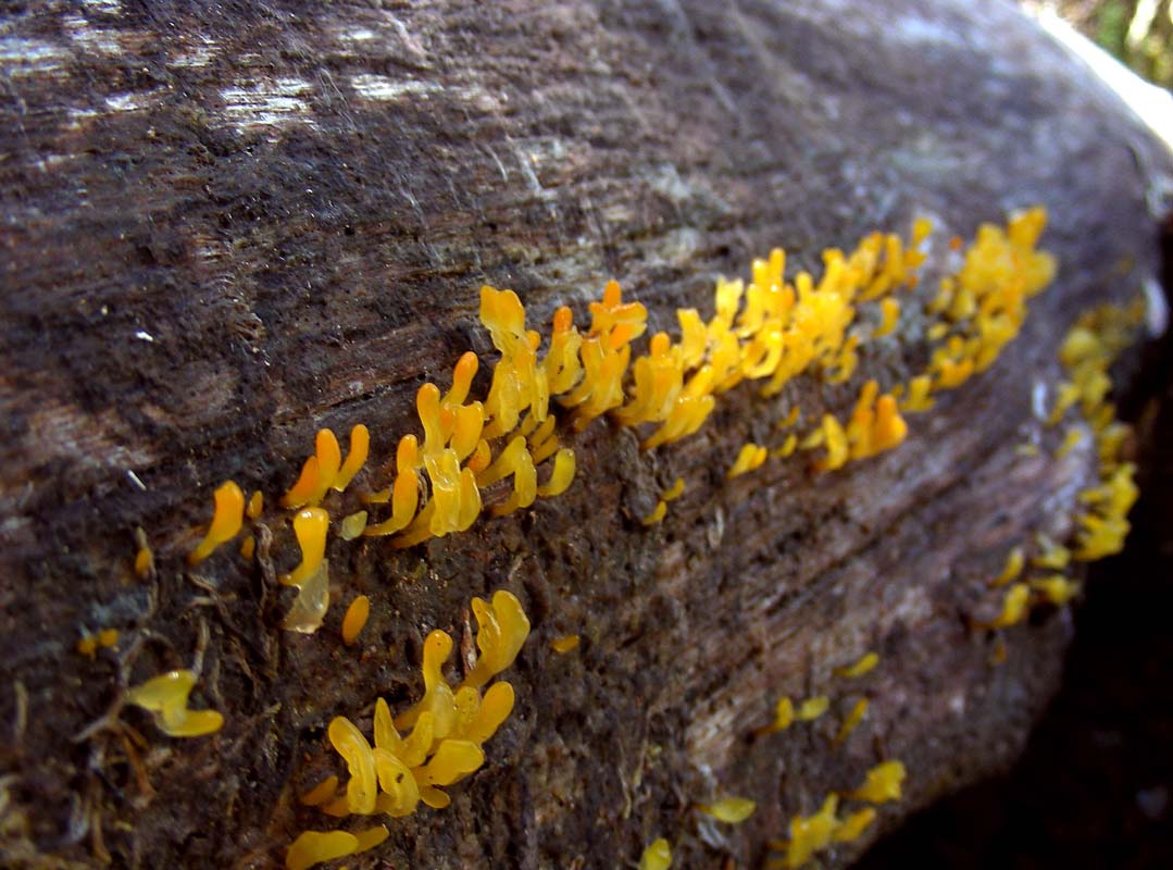
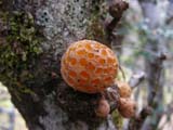
There is lots to be seen on the track.

Besides an old wooden bridge and some sleepers there are
many pretty objects to take pictures off ....


.... colourful fungi ...
... flowers ....

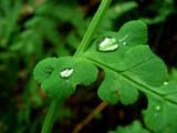
... ferns with rain drops ...


There are many mosses, trees, small creeks to cross ...
and mud!
We also find a few mine shafts; apparently there are many
of them scattered through the hills surrounding Montezuma
Falls.
Tin, gold, silver, lead and zinc were mined from hand dug
shaft like this one; it most have been slow hard work with
an ever-present fear of collapse.
Ruedi goes into an open one and hides from Heidi.
When she uses the flash to take a picture she sees a "ghost" inside
the shaft ....
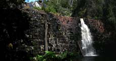
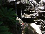
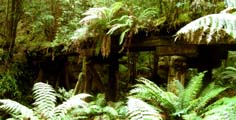
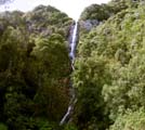
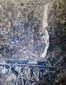
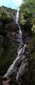
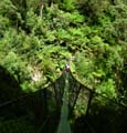
Then we reach the Montezuma Falls.
With a drop of 104 metres, this is one of the highest waterfalls
in Tasmania.
They must be very impressive with lots of water.
" ... the spray splashes right onto the passing train
....
"
This was the eloquent description of Montezuma Falls published
in a 1908 guidebook to the area.
The name of the Falls appears to have come from the Montezuma
Silver Mining Company which operated a lease close by.
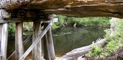
When the tramway was operational, the creek immediately
below the Falls was spanned by a 48 metre long wooden trestle
bridge.
This was an impressive engineering feat for its time, especially
given its remote location.
Sadly not much is left of it.
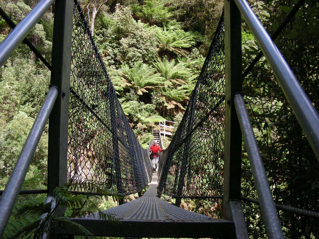
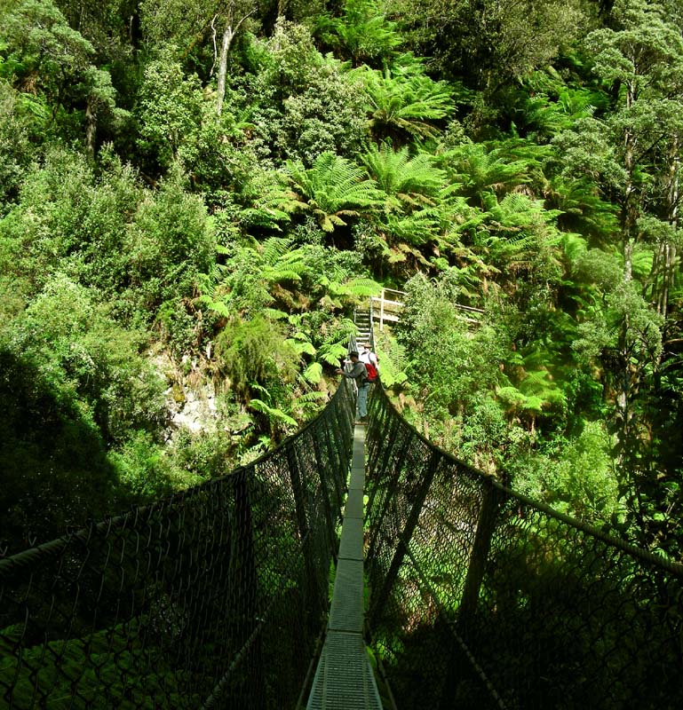
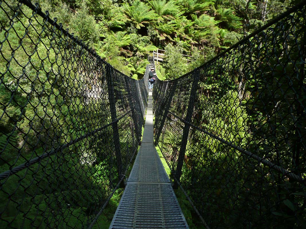
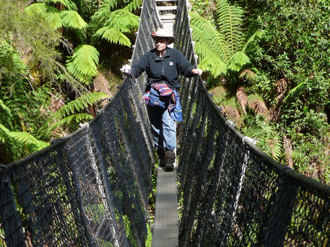
Today a suspension bridge spans the creek.
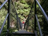
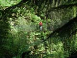


The suspension bridge starts swinging as soon as somebody
gets on it.

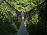
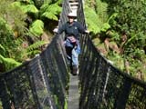
It is not really something for the nerves of Susi and Peter
but we both manage to get on it and have a good look at the
falls.
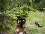
Once back in the camp we make sure there is no soil left
on the muddy shoes.
We don't want to spread any diseases with the shoes.
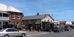
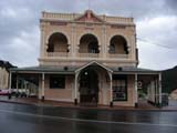
Then we continue on to Zeehan, a friendly
little town with pretty renovated old buildings.
It also has a nicely stocked Foodtown, which is good to know
as we will have to stock up before heading out bush again.

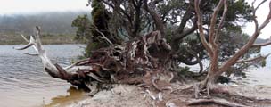
Then we head down to Trail Harbour.

We settle in at the free camping, directly at the ocean
with some great views over the bay.
A walk along the beach reveals many very pretty little gardens.
Later in the afternoon we see people in wet suits going
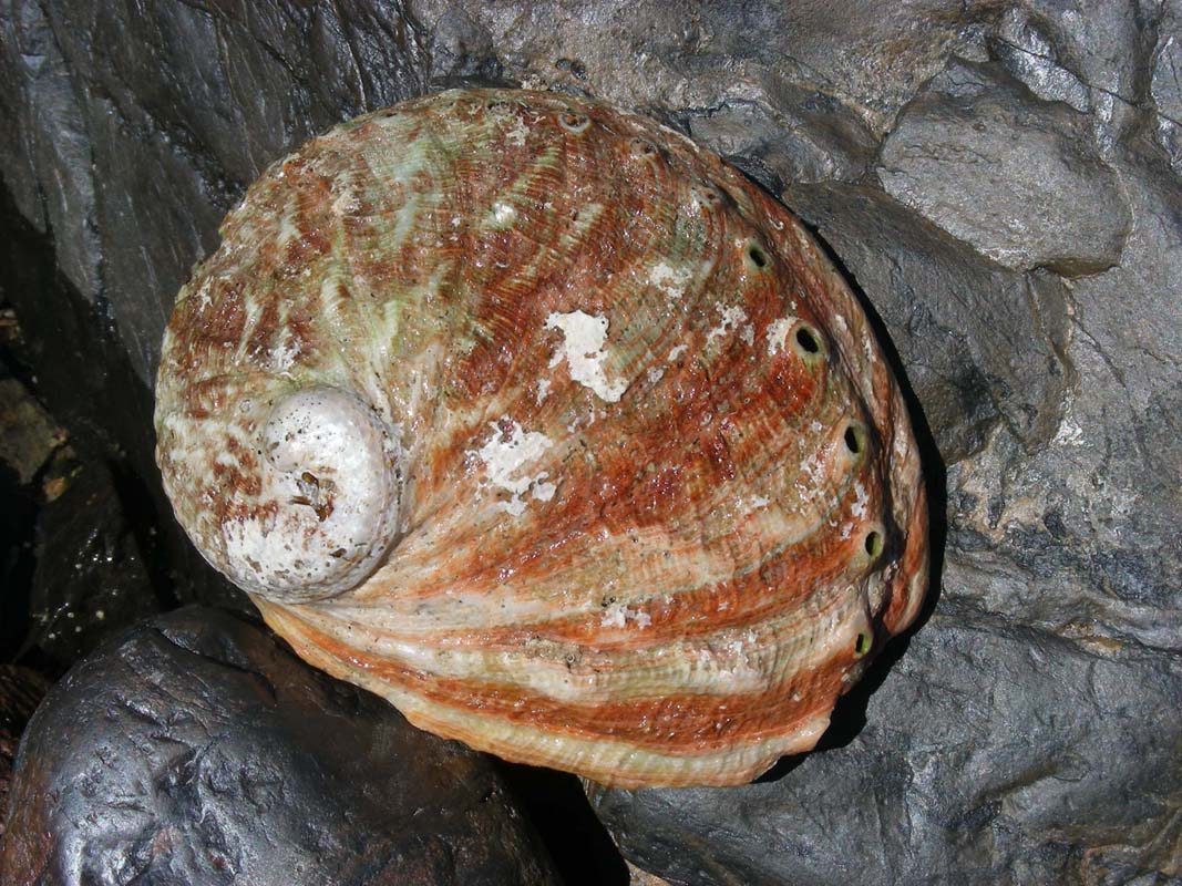
out to collect Abalone.
A young man stops for a chat and explains us how they get
it and also what it is worth!
But the license to collect them is very dear too!
At dusk we are visited by some pademelons (small wallaby)
and a wombat.
Wednesday morning is sunny and there is almost no wind,
just a light breeze.
We work on the plan for the rest of the Tasi trip.
Then it is time for Susi to have a closer look at the flowers
and ...
... to visit the many gardens amongst the rocks again.

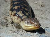
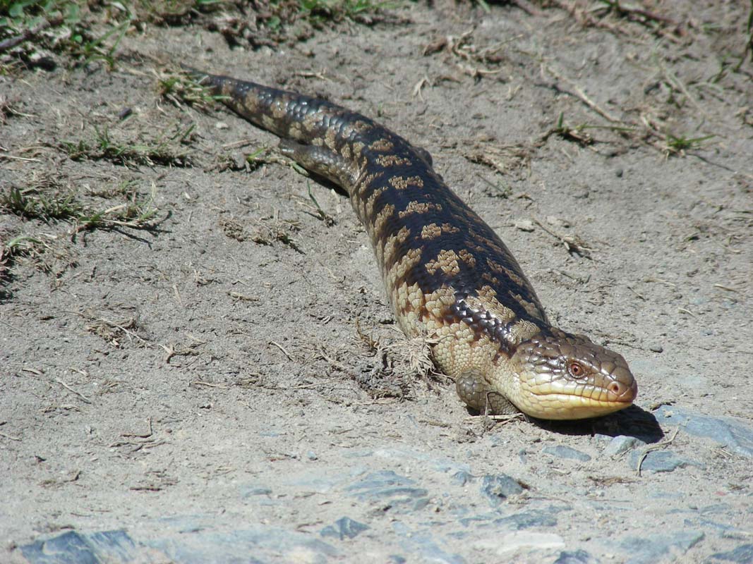
On the way back a Blue-tongue Lizard sits on the side of
the track.
It gets really upset by the disturbance; it actually attacks
the camera and comes within 20 cm of Susi's shoe.
Click here to view the movie.
In the evening the pademelons visit again.
It is such a peaceful place out here.
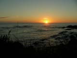
On Thursday morning around dawn wind from the north starts
blowing.
The temperature rises from only 13.5°C to 20°C in
a short time before the sun appears.
The sunshine looks gloriously on the tips of the breaking
waves.
The spray of the waves generates rainbows.
It is a very pretty setting.
But the gusty wind blows dark grey clouds in from the north.
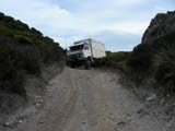
We leave camp and head into Climies Track,
marked as hard in the guide book.
And soon we understand why they judge the track as hard ...

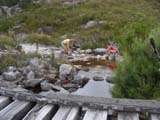

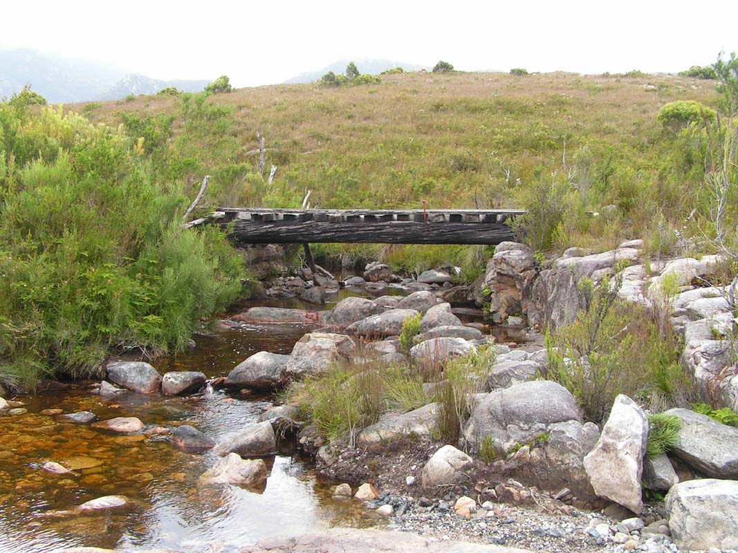
The old timber bridges are not really built for the heavy
vehicles and we have to take the bypasses.
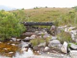
Sometimes even some road building is required.
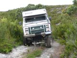
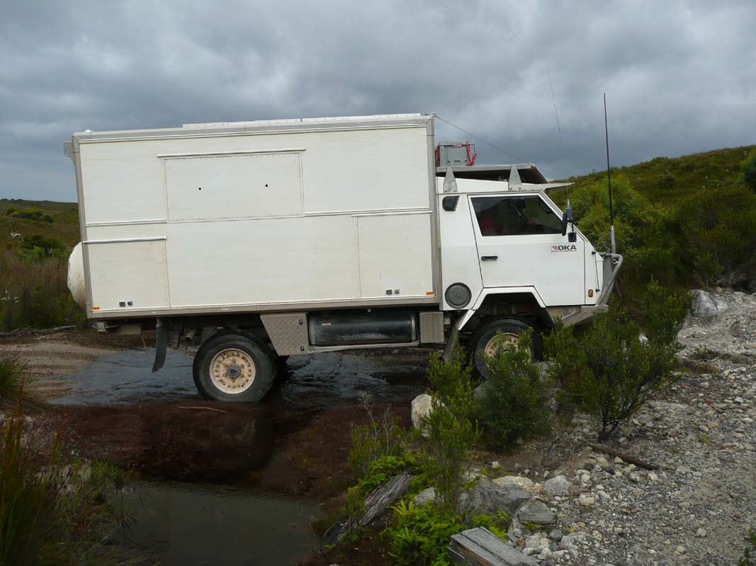
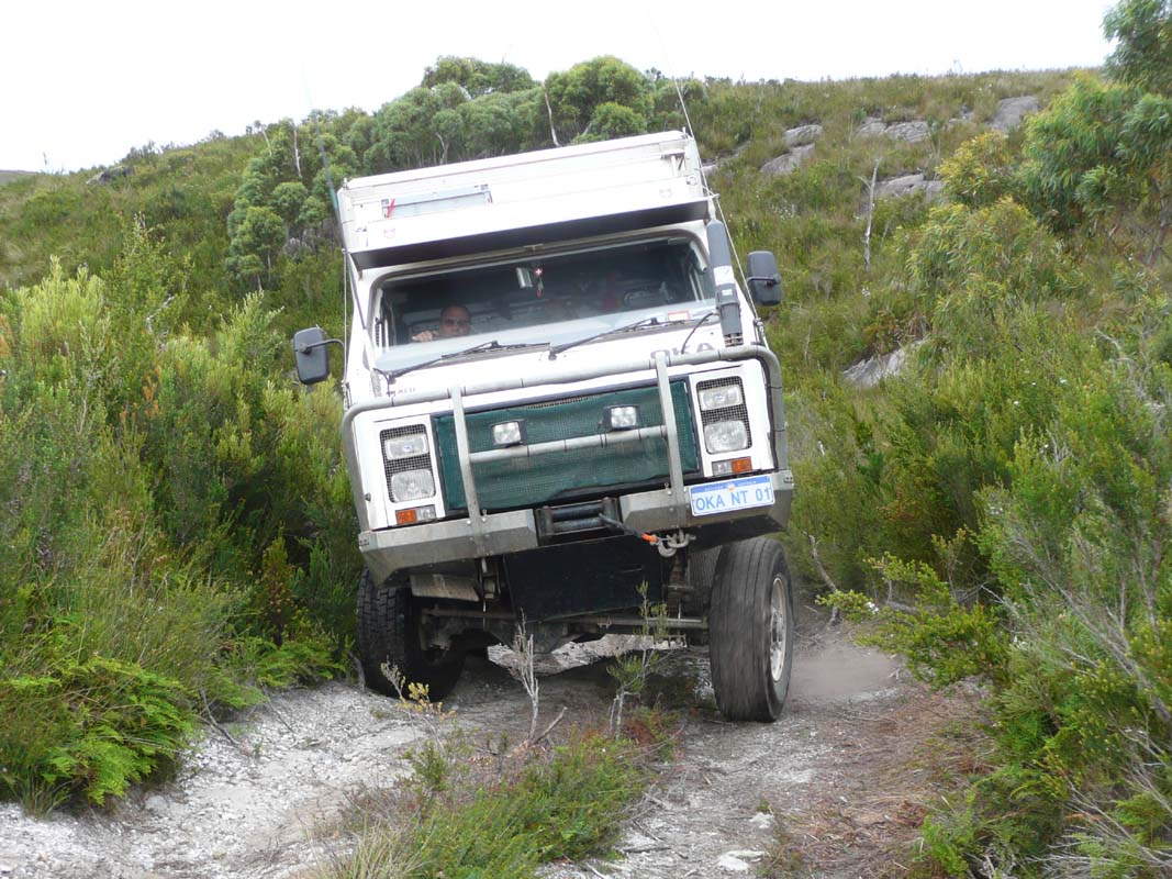
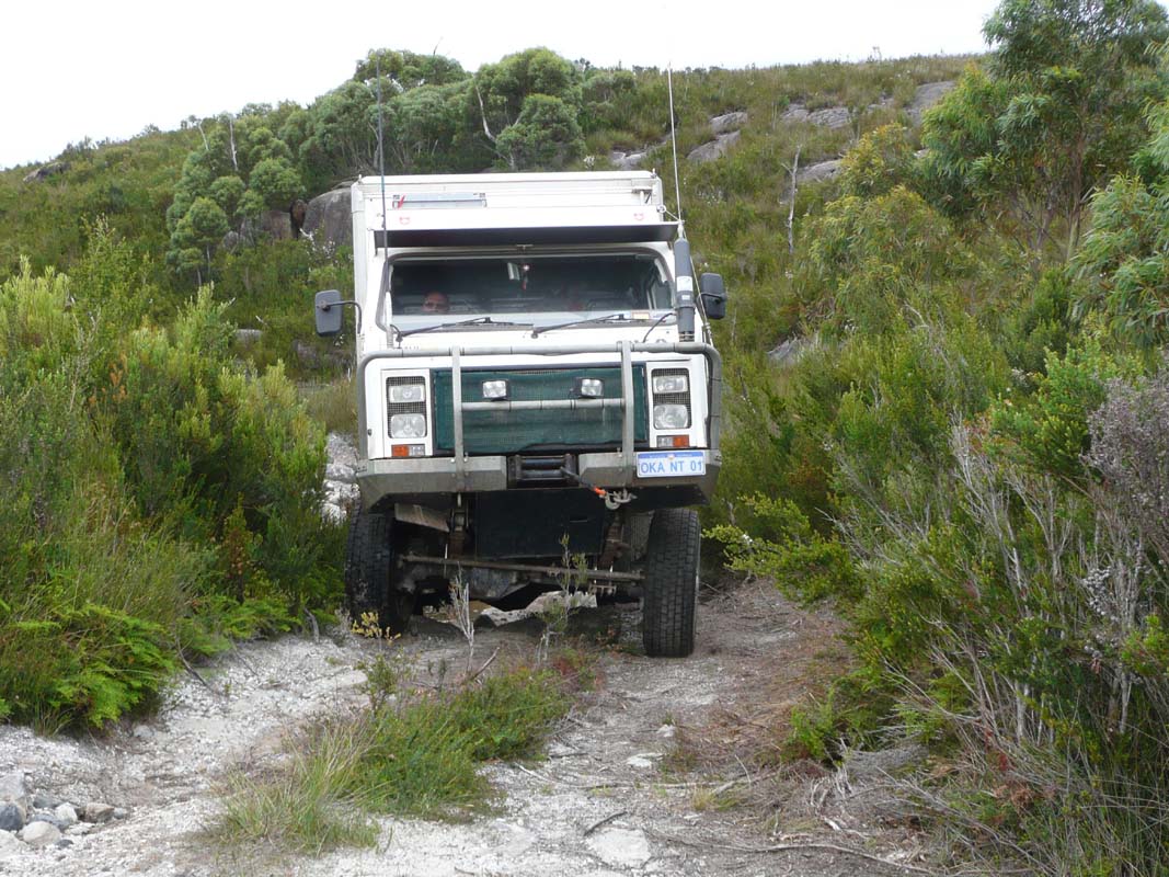
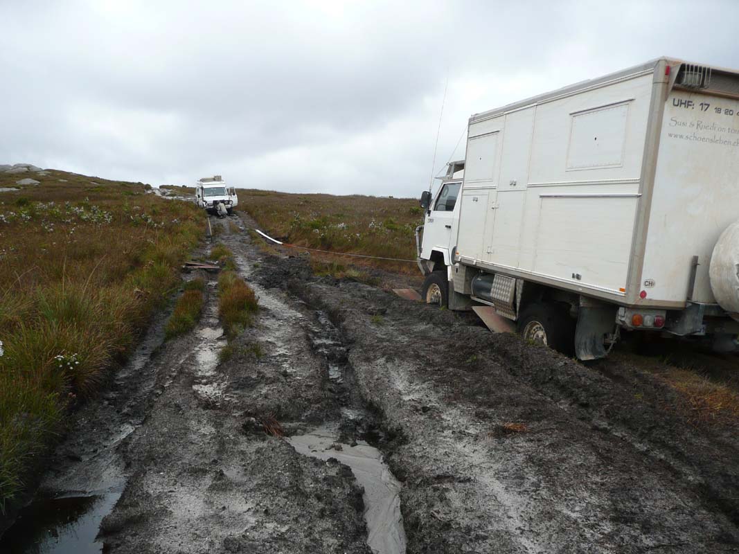
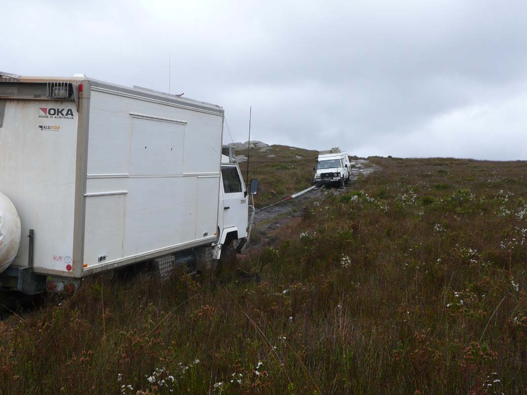
As the OKA has no locking diff anymore Ruedi has to drive
carefully.
Every so often the wheels just spin, but the OKA always manages
to get through.
Sometimes there is no bypass and as the OKA has a wider
track Ruedi has to be careful on how he drives through the
obstacles to prevent damage to the tyres.


But there is a good side to everything:
While the road is built Susi and Heidi have time to have
a closer look at flowers and animals!
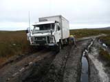
The track gets worse and worse so we decide that it is
not worth continuing on it especially as we would have to
come back the same way in the afternoon.
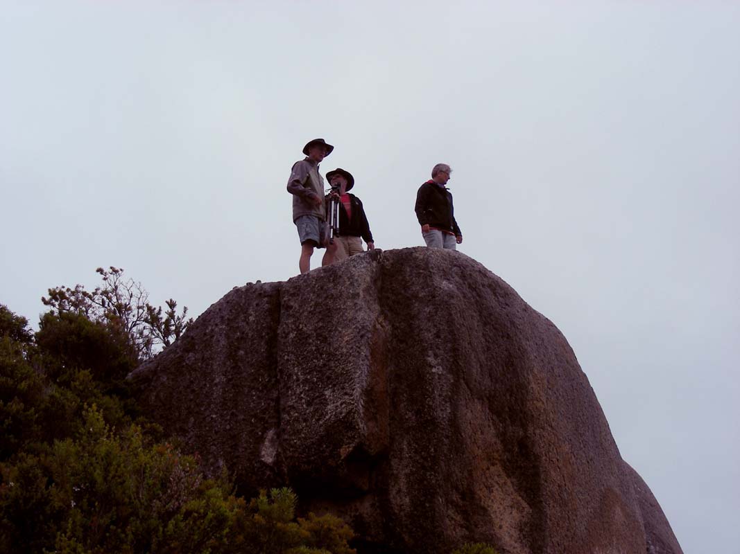
So we head back and deviate onto the Pulpit Rock, Cliff Mine
and Cornwall Mines Track.
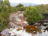
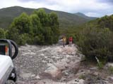
The track is very rocky but also very sandy.
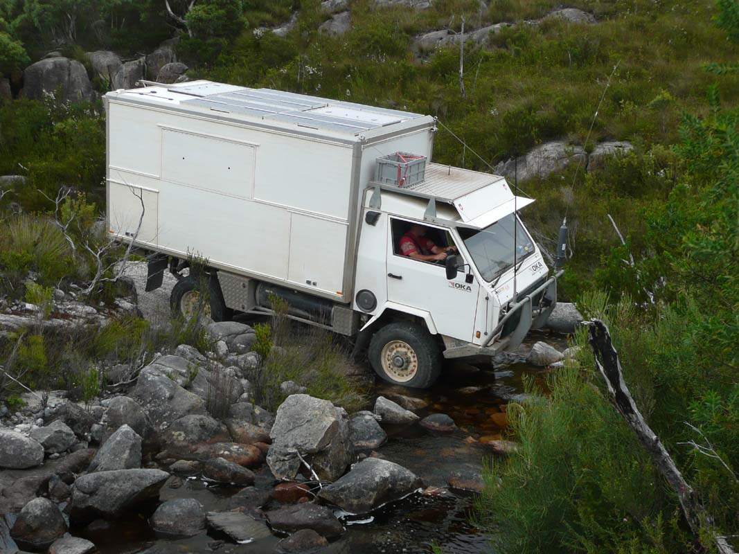
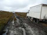
After passing Pulpit Rock the track crosses
a bog; the track shows marks of problems of previous vehicles.
One section looks very soft and the sand is still a bit wet
but we get through without a major problem.
We reach the remains of the Cliff Mine which
can be visited by passing through a gully and crossing a
small river.
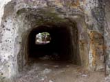
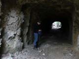
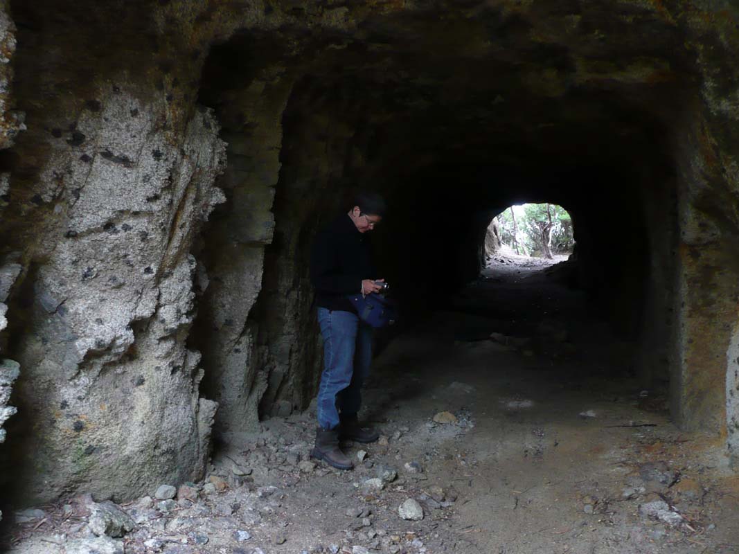
Of course we have to investigate a tunnel that was used
to transport water to the other side of the hill to drive
a waterwheel during the active days of the mine.


The views on the other side of the tunnel are quite pretty.
As rain clouds are closing in we decide to postpone lunch
and get out of this area before it starts raining.
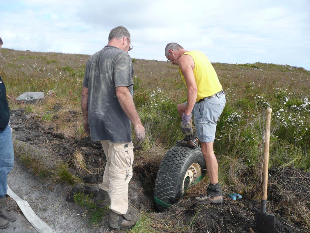
In the guide book it says that the track gets "hard" after
rain ...

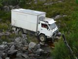
All goes well until we reach the bog with the soft and a
bit wet sand again.
Peter has to reverse out of it to gather enough momentum
with his vehicle to cross it.
He manages to cross the bog and get out of the sand by pressing
the gas pedal down quite hard.
Then it is our turn.
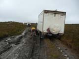
Ruedi also tries to get momentum but the OKA does not get
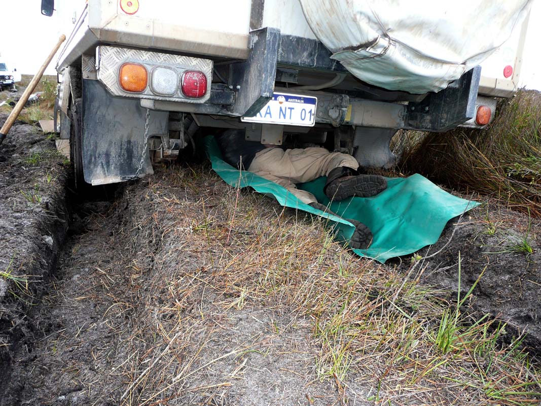
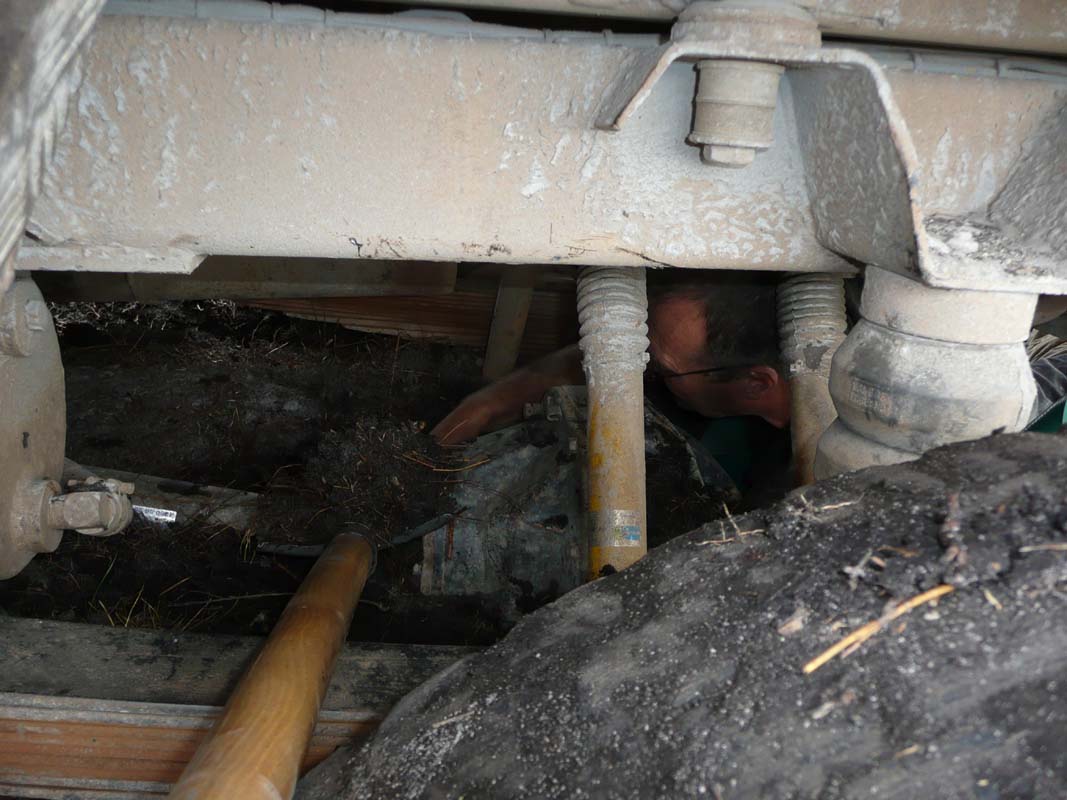
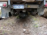
far before it sinks into the sand.
Ruedi reacts instantly and gets the foot off the gas but
it is too late, the OKA is bogged up to the diff.
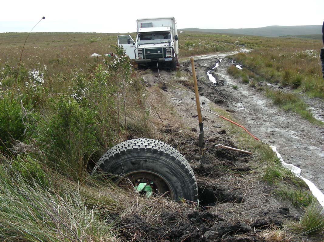
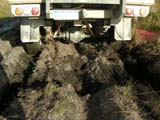
It is time to get the recovery gear out ....

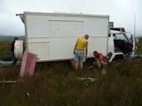

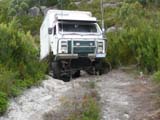
First we try the sand-boards and Peter pulls with his winch
... the only result is that the OKA sinks even more.
By now the rear diff is well buried and the front one also
has "gone under".
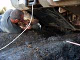
Ruedi starts digging but it is no easy job to get the sand
from below a truck that is buried that deep.

One way to access the rear diff is by crawling under the
OKA on the trench that was formed in the sand by the diff
itself.
Then, with a small shovel, get sand to the side of the OKA
where Heidi is waiting with the shovel to remove it.
It is not really efficient, but it is the best thing we can
do.
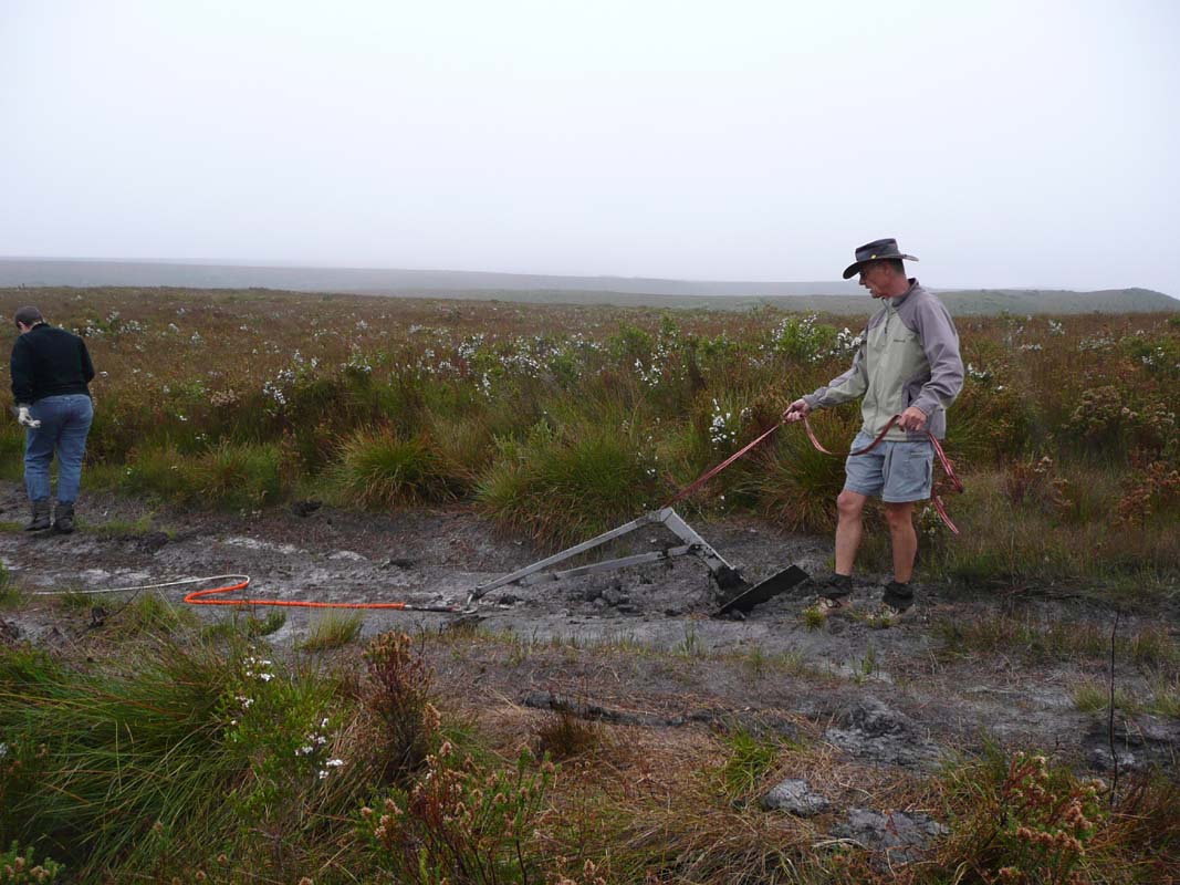
Then we get the sand-anchor out to use it as anchor point.
We place it in the more or less solid area and try to winch
the OKA out of its misery on the sand-boards ... the OKA
is not really impressed, it barely moves.
The weather deteriorates and it starts raining.
Soon we are wet and the black sand sticks to all the gear
and clothes.
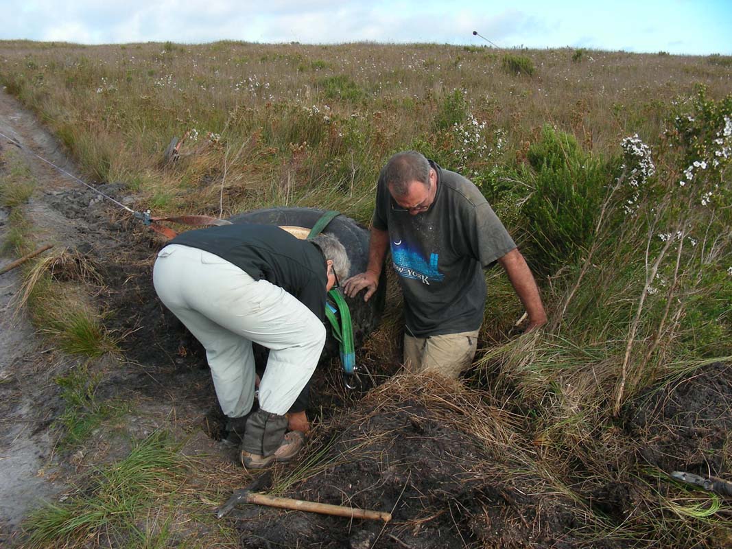
Next try is to place Peter and Heidi's Toyota on top of
the sand-anchor and pull with both winches (it worked
in Kalbarri in 2006) ... but again we have no success.
The stinking black sand sucks that much that all that happens
is that the Toyota is lifted up by the sand-anchor that is
moving underneath the Toyota.
We give up with the sand-anchor and try to get it out of
the sand.
Forget it, it sits that deep down that Peter has to get his
winch to pull it out of the sand backwards!
It is almost unbelievable that such a stable anchor that
sits that firm in wet sand is not enough to act as counterpoint
to the OKA's winch!
The frustration level gets higher and higher.
Luckily the rain stops again and the clouds start dispersing.
What now?
We decide to dig a hole for our spare wheel and use that
as anchor for the OKA's winch.
As neither of us has ever done this before we will have to
try out and see how we go.
By now it is 6 PM, the sun is shining and we still have a
few hours of daylight.
So we get started.
The sand is heavy and there are lots of small rocks in
it that make digging rather painful.
At the end we use a pick and remove the sand and the rocks
by hand.
As we still have not had lunch in between the digging we
have a bit of a drink and some biscuits.
Then it is back to work.


We dig the hole in exact the size of the tyre, tie a strap
around it and lower it into the whole.
The tyre just fits and is in the whole a bit more than half.

Now the big moment comes, Ruedi starts the winch.
But all that happened is that the tyre is pulled forward
and out of the whole.
In no time the whole that was just the size of the tyre has
grown to now be able to fit almost 2 tyres.
The sand just does not give enough resistance.
Do we really have to drive down to the road construction
gang and get them with the grader to pull the OKA out?
We are not sure a grader or tractor would even be able to
reach this point on the 4WD track

We brainstorm and Peter suggests that he could pull with
his winch to stabilize the tyre and prevent it from being
pulled out of the hole.
Ok, next try ... but all that happens is that the Toyota
is pulled towards the OKA together with the tyre.
Next try is to place the Toyota on top of the buried tyre
....
Again the Toyota is pulled forward with the tyre.
Next the Toyota is placed in front of the tyre on top of
the frame of the sand-anchor ... resulting in the Toyota
being pulled forward.
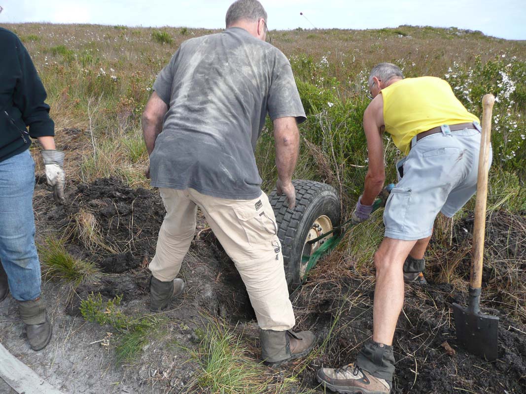
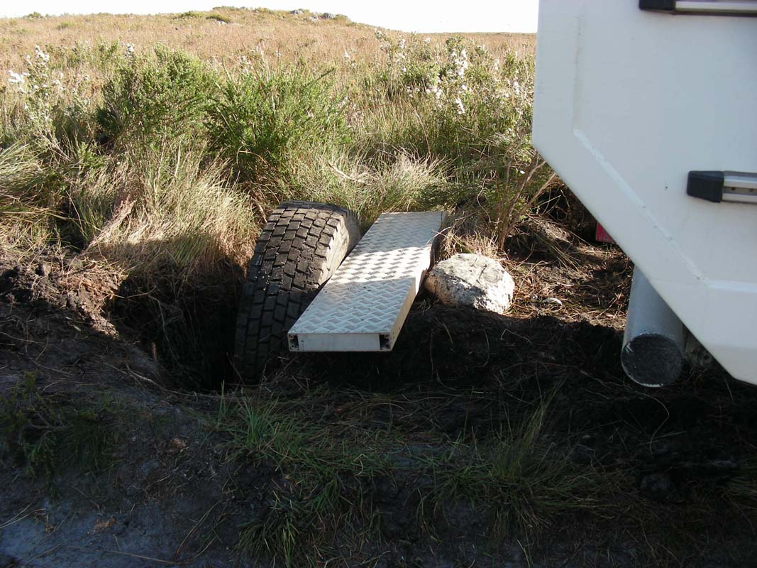
Next try is to place one of Peter and Heidi's bridge elements
in front of the tyre and place the Toyota on top of it.
Inch by inch the OKA pulls itself out of the black stinking
stuff.
But the muddy "spot" is still ahead of us, we will have
to cover approx. two length of the OKA with this technique.
By 9 PM we have almost reached the solid ground.
But know the next problem arises:
the OKA has reached the buried spare wheel, there is no more
winch cable that can be used.
The spare wheel was buried approx. 3 meters too closed to
the bogged OKA!
We have no other choice than to try to drive out of the
mud just with the sand-boards.
But it does not work.
The OKA's tyres instantly start digging holes again.
Peter comes up with the ides that he could use his winch
and a snatch strap and build up so much momentum that when
Ruedi starts driving with the OKA this little bit of extra
help could just be enough to get the OKKA out of its misery.
In the last light of the day this set-up is tried and it
works!
The OKA is free again.
Now all that is left is to clean up the mess and pack all
away.
When we finish it is 10:30 PM and 12.5°C.
We all feel relieved but very, very tired.
We decide to drive a bit further up the road until we find
a flat spot and camp there for the night.
On Friday, February 6, we feel very old.
Nobody has real muscle ache, we are just very, very tired.

We head back to Zeehan and then continue on to Strahan.
It is a glorious day and we would like to go on the afternoon
cruise on the Gordon River.
In the Strahan Tourist Information we are informed that due
to not enough people the afternoon cruises have been cancelled
at least until Monday.
We decide to see how the weather develops and if it is fine
go on the morning cruise tomorrow.
We drive to the Ocean Beach Coastal Reserve and
set up camp.
We will give ourselves a bit of a free afternoon to recuperate
from yesterdays 9 hour recovery ordeal.
Peter and Heidi head out to Hell Gate but return soon as
there is no real swell and no action.
Peter tackles the repair of his tyre that is slowly losing
air.
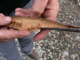
He finds a small hole and fixes it.
In the evening we watch the Mutton Birds (Short-Tailed
Shearwater or Yolla) come ashore.
The ranger gives a very comprehensive introduction to the
amazing birds.
For
some details on Mutton Birds and to listen to a little one
calling for his parents please click here
.
A few drops of rain fall during the presentation.
Shortly after the end of the ranger talk rain sets in and
it continues to rain all night.
On Saturday, February 7, we are woken up by raindrops.
The weather forecast is rather bad and we decide not to go
on the boat trip.
Peter and Heidi's Toyota is "limping" again.
The fixed tyre is still loosing air but for the time being
we just pump it and will fix it later on.
We head into Strahan and find warm showers for free.
Nice!
Next we visit a saw-mill and then leave towards Queenstown.
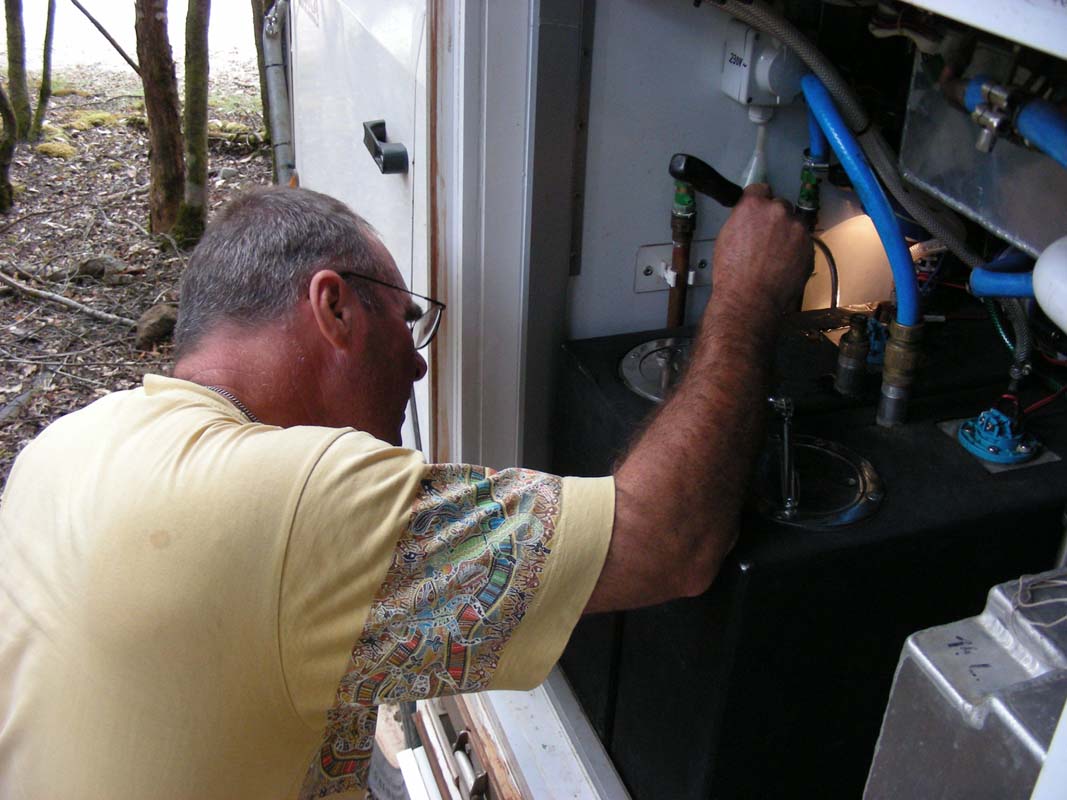
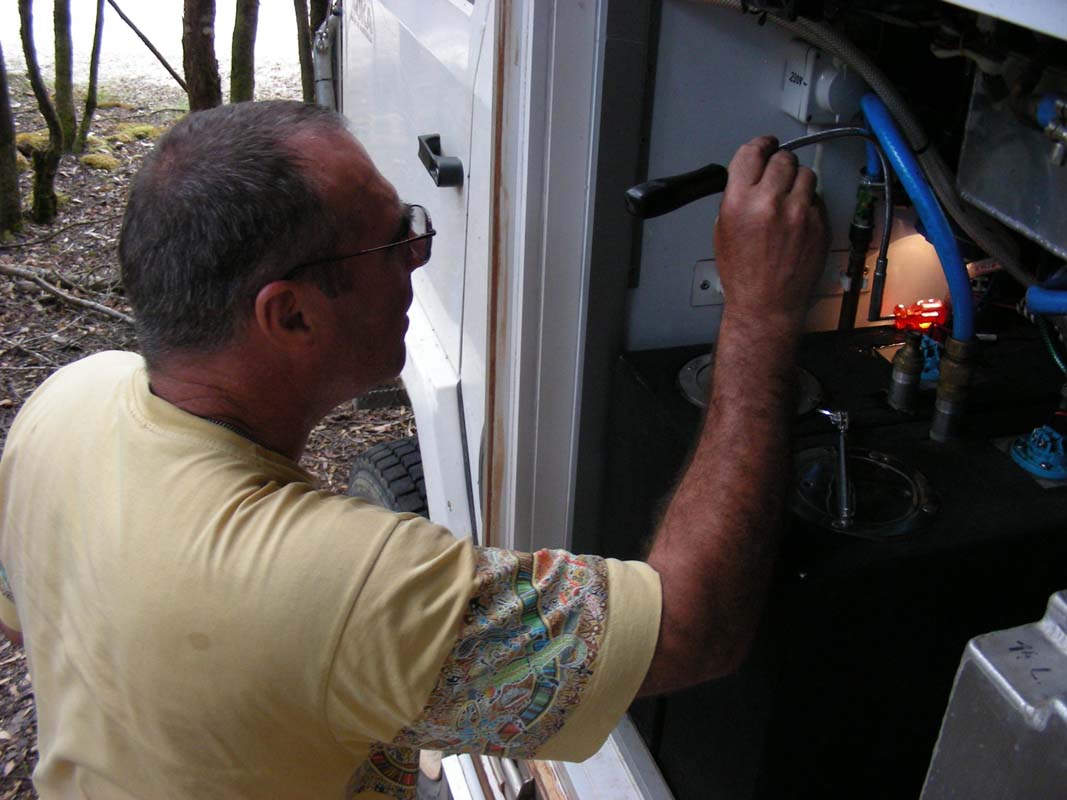
On the way uphill the OKA wobbles a bit and we discuss
that we have to call Paul and order a larger steering damper.
Then we hear a bang and the sound as if a tyre has blown
and we were driving on a flat tyre.
We stop and check the tyres but cannot find anything wrong
with them.
Even a bit more detailed inspection does not reveal anything
unusual.
Strange ....
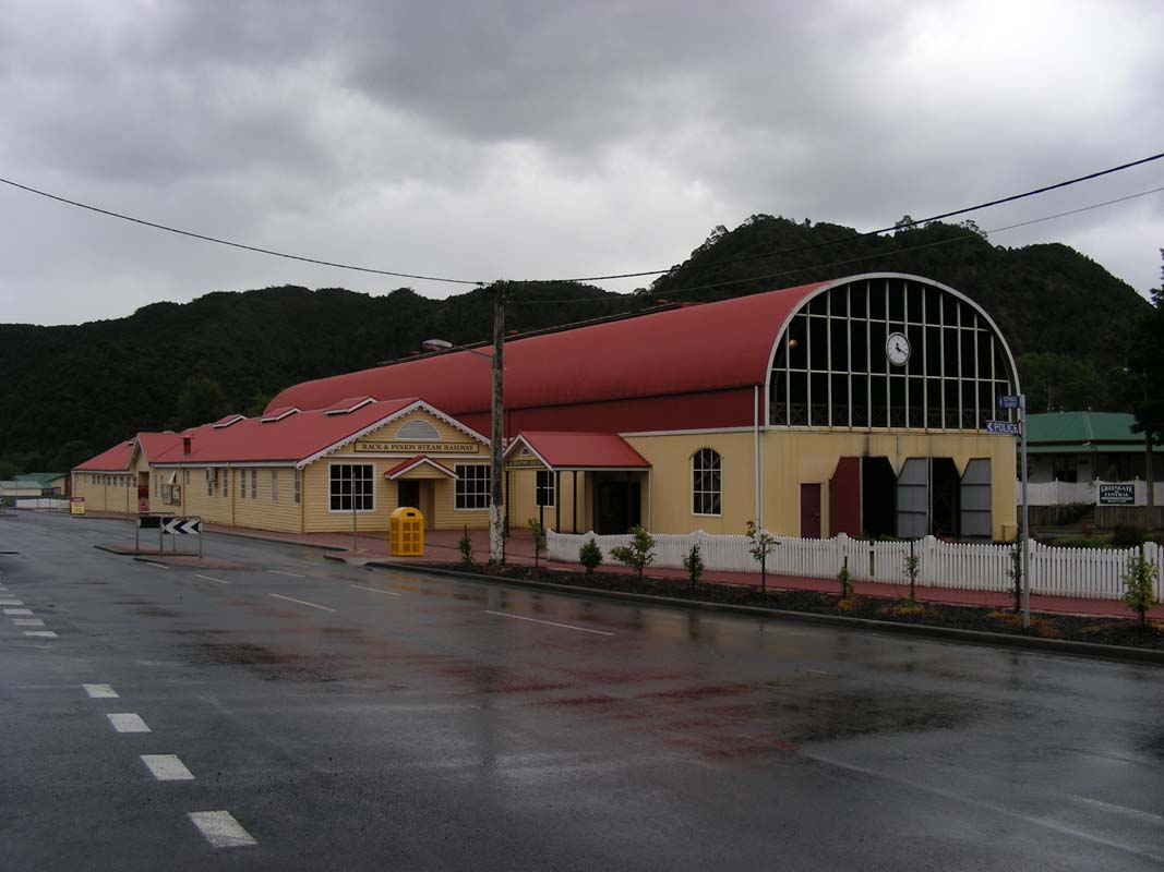
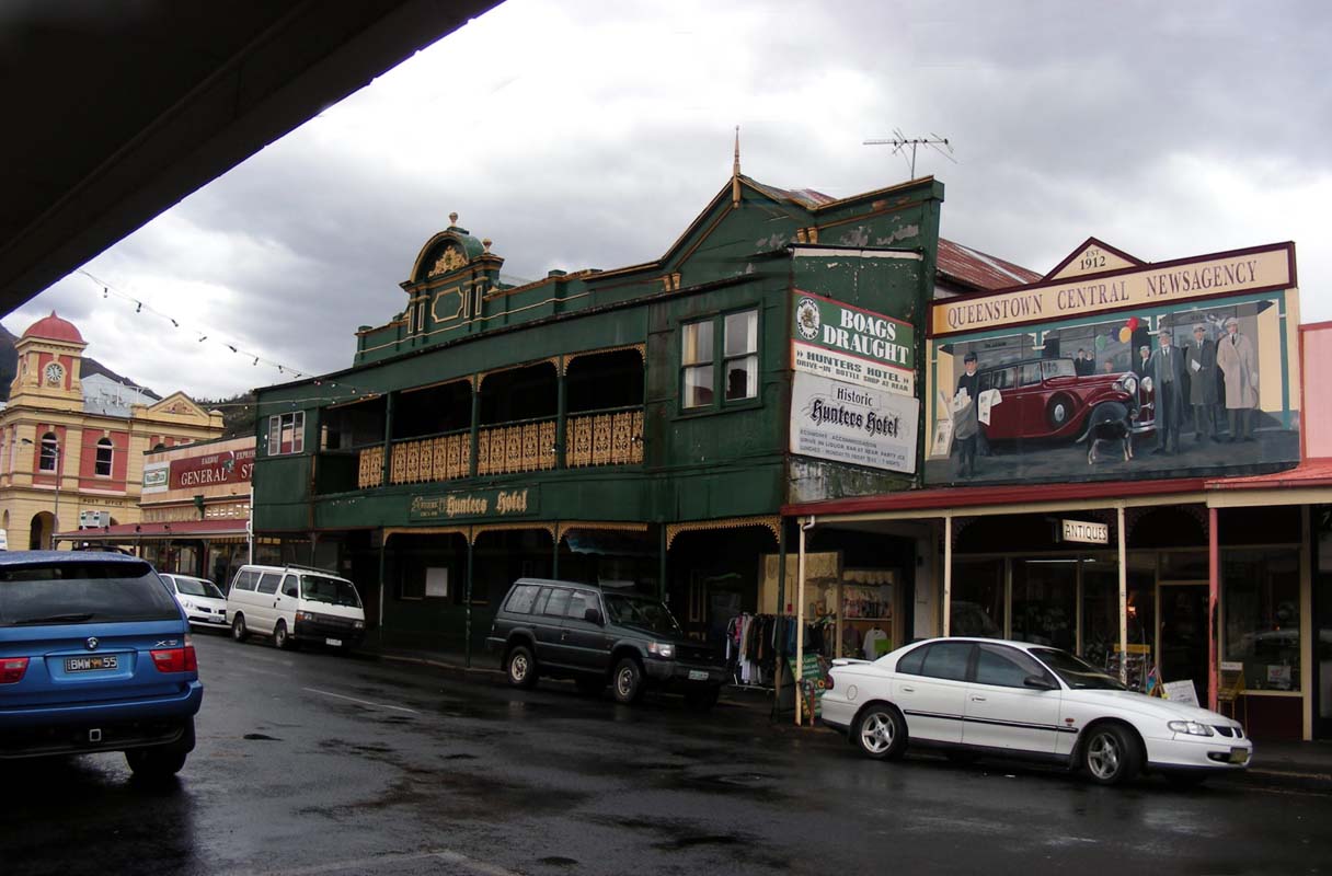
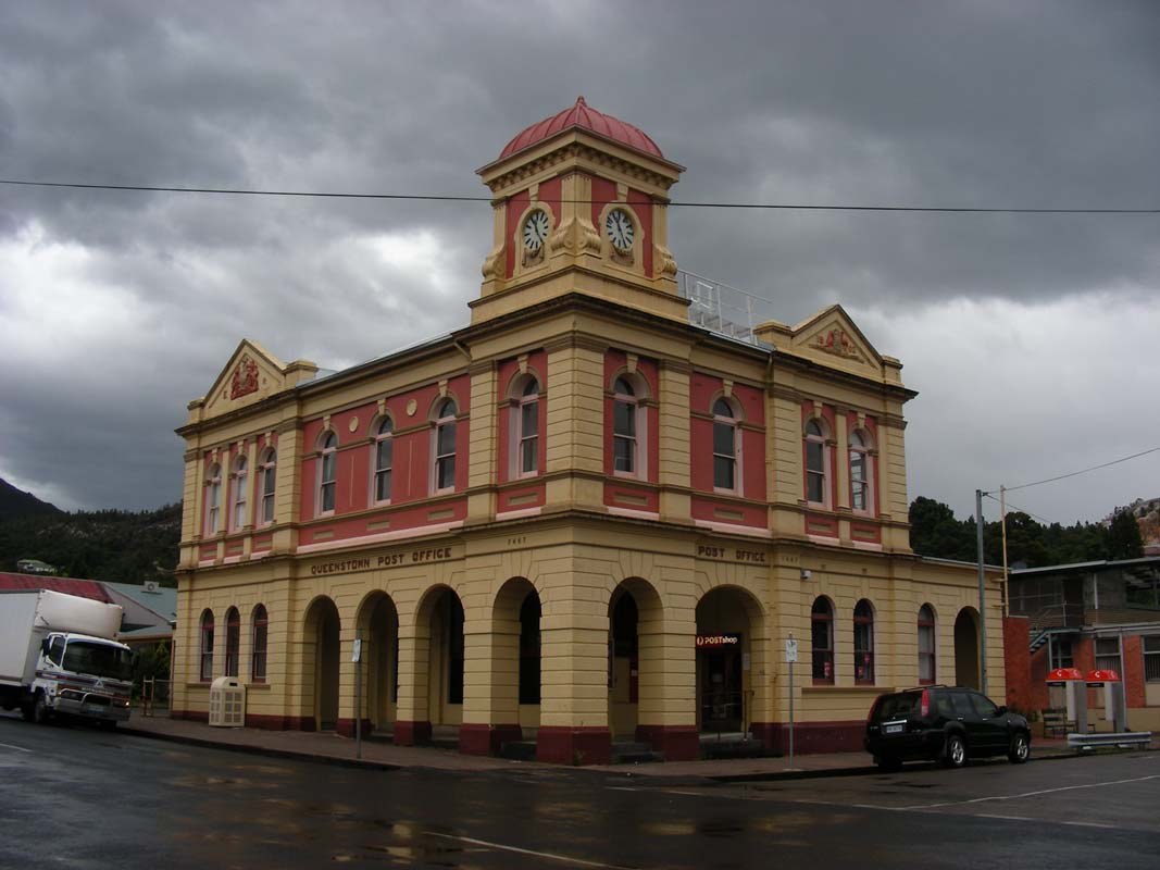
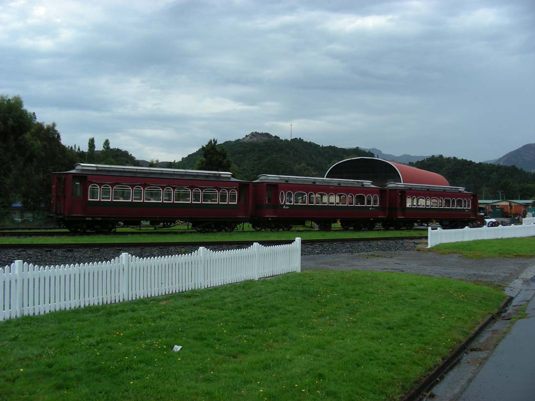
We continue on into Queenstown where Ruedi
checks the OKA while Susi goes shopping.

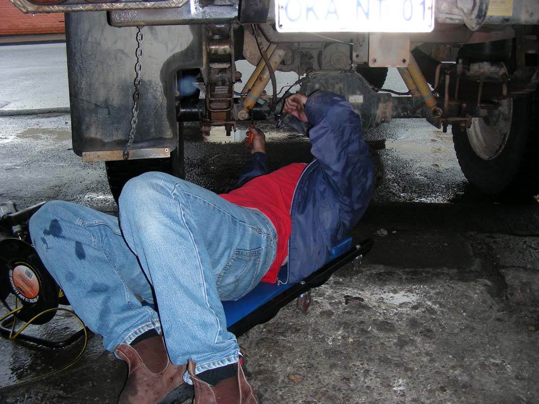
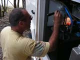
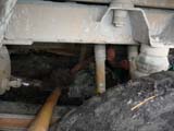
Ruedi finds that one of the back break lines is not ok anymore
and organises with a garage to have a mechanic replace it
with one of his spare ones.
During this time Peter checks his tyre and finds a screw
in it but it can be fixed with a tyre plug.
We turn east onto the Lyell Hwy, had up towards the Victoria
Pass.
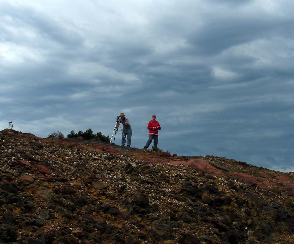
As we drive past the barren hills we stop for a photo session.
Ruedi has another look at the OKA and checks the rear diff,
but all seams to be fine.
We continue on past Donaghy Hill and Mt. Arrowsmith and
reach Derwent Bridge where we head into
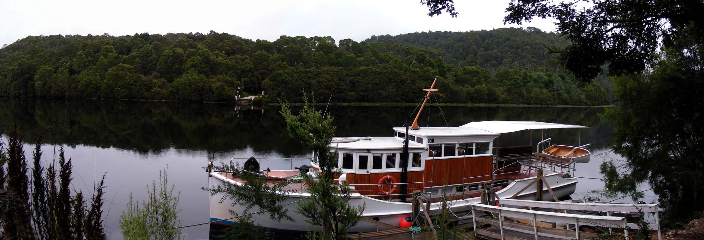
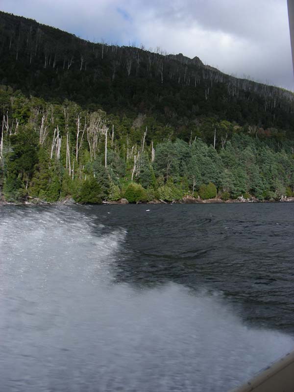
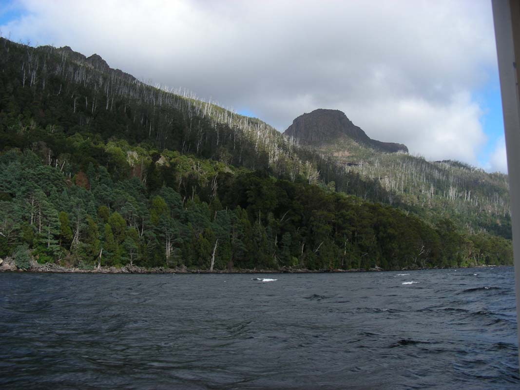
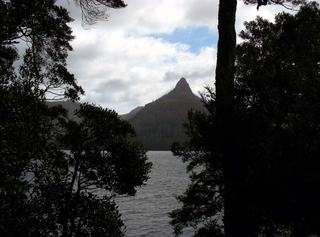
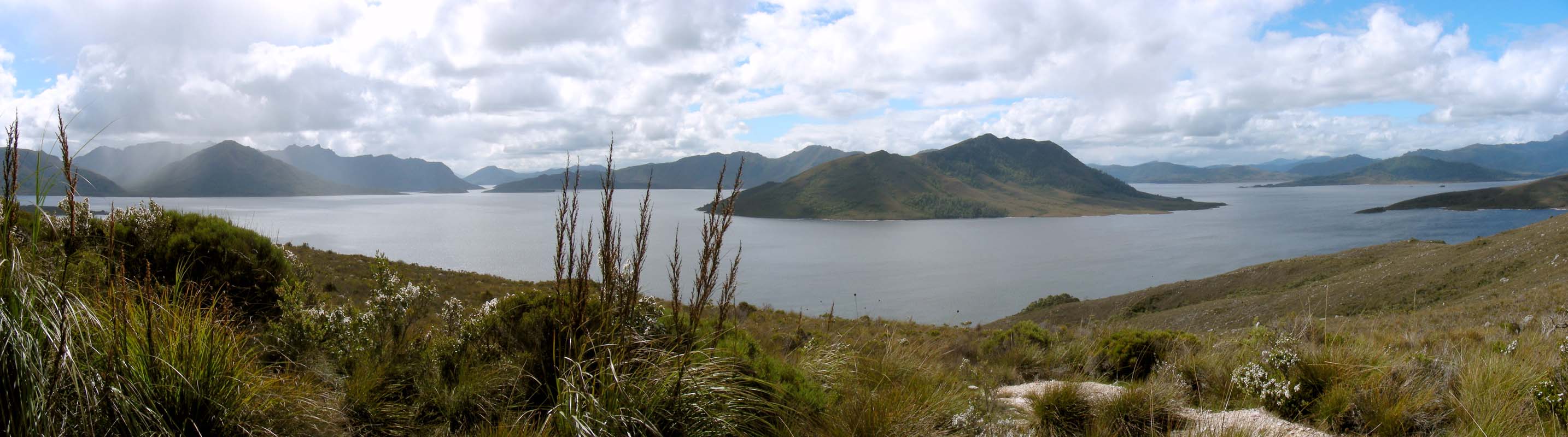
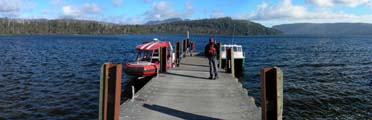
the Lake St. Clair Ranger Station.
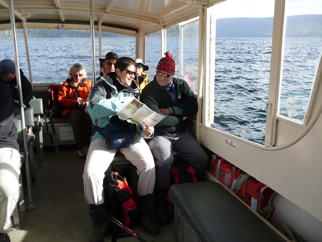
We plan to take the ferry up to Echo Point and then walk
back along Lake St. Clair.
As the weather forecast is better for tomorrow we book the
ferry.
The friendly ranger tells us that there is no free camping
inside the national park but that at the third boat ramp
along Lake King William some free camping
spots can be found.
We head down and find a spot for the night along the Derwent
River.
During the night it rains on and off.
On Sunday morning the sun breaks through the clouds.
We might be lucky with the weather ....
On the radio we hear the dreadful news about the bush-fires
in Victoria.
We were there not even 3 weeks ago ..... better not think
about it ....
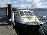
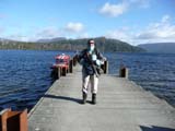
We leave early as we have a booking on the 9 o'clock ferry.
It is cold and a rather strong wind blows.
The waves on the lake have small white caps.

Luckily we wrapped up with gloves, caps, warm sweaters
and the windcheater before leaving for the ferry.
We hope that it will not make us seasick ....

The trip turns out to be a bumpy but interesting one.
Ruedi joins the driver up front and it is interesting to
watch both of them trying to keep their balance on their
feet.
It looks more as if they were riding!
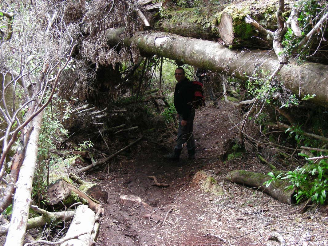
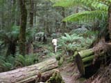
The hike back to the visitor centre is 11 km.

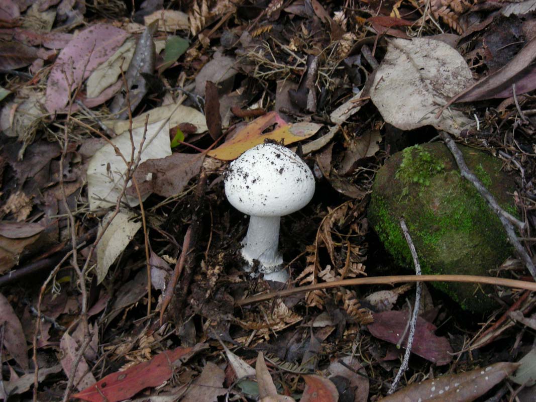
It leads through tempered rainforest and again we see many
interesting mosses, mushrooms, lichens, flowers and trees.

Every so often there are openings in the foliage and one
can catch a glimpse of the lake and the mountains.
But the walking track mainly leads through dense forest with
high grass at times and a few muddy spots to navigate.
It is the last part of the track from Cradle Mountain and
every so often we are past by walkers that are on their last
stretch .... and also close to a warm shower!
The weather deteriorates and we make sure we don't spend
too much time taking pictures on the way ...
We make it back to the OKA dry and but the temperature is
dropping more and more.
The maximum during the day was only 18.5°C but by now
we have reached 13.5°C and it is still dropping.
We head over to the ranger station to attend a session
on "Creepy Crawlies" which is quiet amusing.
Alex, the ranger, knows a lot about vertebrates, presents
his pictures with a lot of humour and we can ask him lots
of questions.
We decide to stay the night at the same spot down at Lake
King William.
As we leave the park it starts raining.
The temperature has dropped to 11.5°C ..... well, this
is Tasi weather!
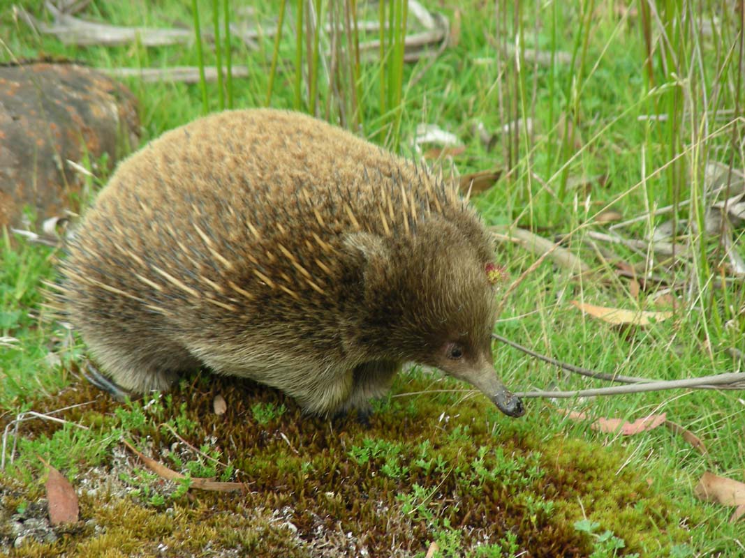
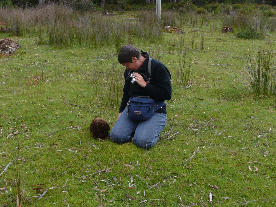
Then Peter and Heidi stop.
They have spotted an Echidna!
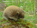
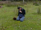
We get the chance to shoot some great pictures.
Susi sits down in the grass to film the echidna.
Click here to view the movie.
The curious animal actually walks up to Susi and starts
sniffing on her Jeans.
Only when she lowers her hand in front of its face the Echidna
extracts its spikes, but nor for long, then it walks off
again.
What an experience!
Susi decides that it must be a female Echidna.
Why?
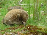
Look at the flower it is wearing!
We have been so lucky with regards to animal spotting in
Tasi:
first the Wombat, then the Blue Tongue Lizard, now the Echidna,
it is just great!
When we reach "our" night spot it is taken by other campers
but we soon find another one and settle for the night.
It gets cold (2.5°C) and rains almost all night.
On Monday, February 9, the weather still does not look good.
Lucky us that we did the walk yesterday!

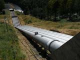
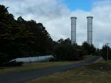
We continue south-east on the Lyell Highway until Tarraleah,
where we visit the town and get a glimpse of the large hydro-system.
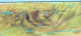
It is an amazing 60 year old scheme and the water is used
to generate power eight times and all at the end of its journey
it is used one more time as a source of drinking water for
the residents of Hobart and the surrounding areas.
For more details on the
Tarraleah
Power Scheme please click here.
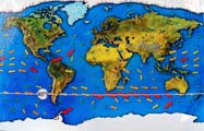
We also learn why the strong wind in Tasi is called "the
roaring 40-ties" ... it comes unhindered from South
America on the 40°!
Shortly after Ouse we leave the highway
and take the small road south towards Ellendale to cross
over to the Gordon River Road.
The area is dry and the dams are empty.
The day stays cold and windy.
The highest temperature we see is 15.5°C ....
Then we turn west onto the Gordon River Road and
head towards Mount Field National Park.
Suddenly we hear this loud bang .... the OKA shakes and
then we hear a noise as if we were dragging a wire along.
Ruedi stops instantly and gets off the road.
The noise slows down as the OKA slows down.
We try to find out where it comes from but have different
opinions on it.
We check the OKA but all is fine, no hot hubs, nothing springs
to our attention.
Well then ....
We get into the truck again and start driving slowly.
Nothing .... not a single unusual sound, just the happy purring
of the engine and the sound of gravel under the tyres.
We are absolutely puzzled and of course also a bit worried.
But there is nothing we can do so we continue on to Mount
Field National Park.


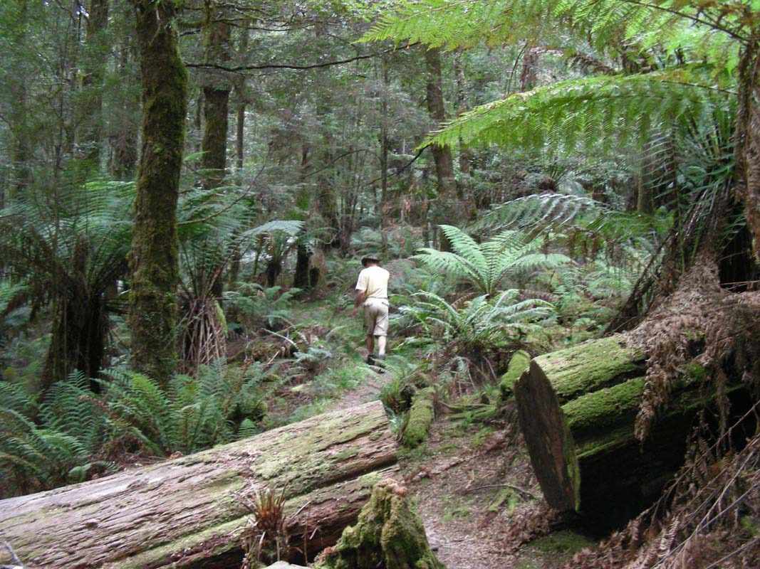
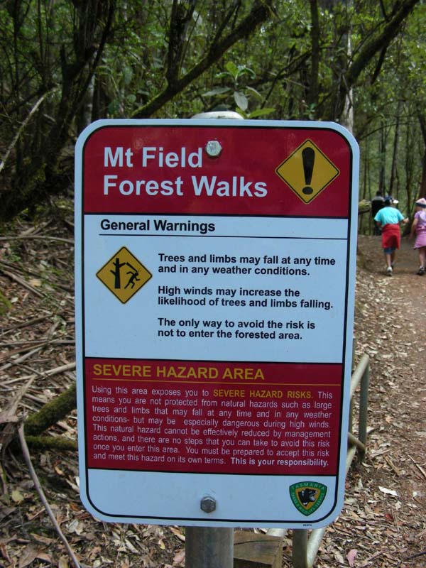
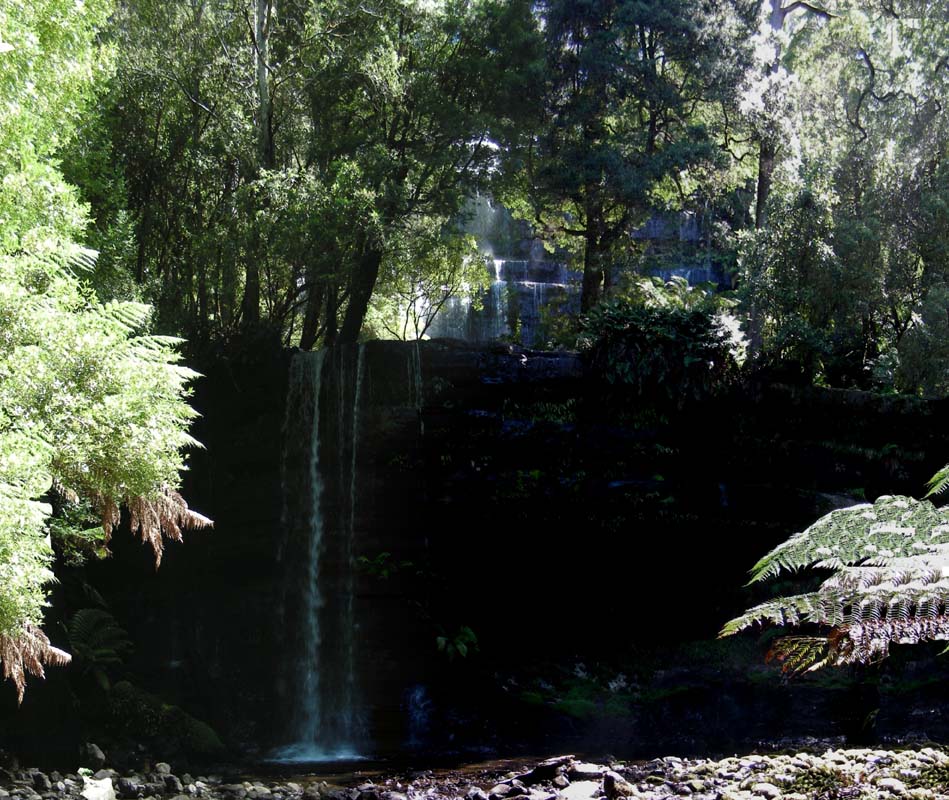
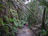
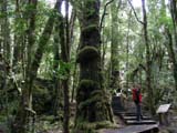
The walk up to the Russell Falls leads through some mossy
forests.
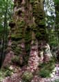
Here the tree ferns are even larger. The trunks are covered
in Kangaroo ferns.
Amazing.
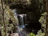
At the Russell Falls the water falls down
very pretty, like a curtain, then the Horseshoe Falls.

We continue on and head down to a boat ramp at Lake
Gordon where we hope to find a nice place for
the night.
But the lake is half empty, not really a pretty sight.
Well, it's just for the night, so we decide to stay.
At least we are safe from any bush fires here!
We walk towards the jetty which has been moved further down
the track.
The ground is swampy and there are puddles of water every
where.
Frogs are busily quacking but shut up as soon as one approaches.
While Susi tries to sneak up in them Ruedi returns to the
OKA and checks all screws.
Some have to be tightened but otherwise all seems fine.
We will see tomorrow if this has helped against the wobbling
and the strange banging.
During the night it rains on and off and the temperature
again drops to 3°C.
We just love our floor heating!
On Tuesday morning the sun tries very hard to get through
the clouds but it has a hard time .....
We head east to Strathgordon.
When the Gordon Road was built during the 1960s up to 2 000
workers lived in Strathgordon, but there is not much to
be seen there, just a resort and a few houses.
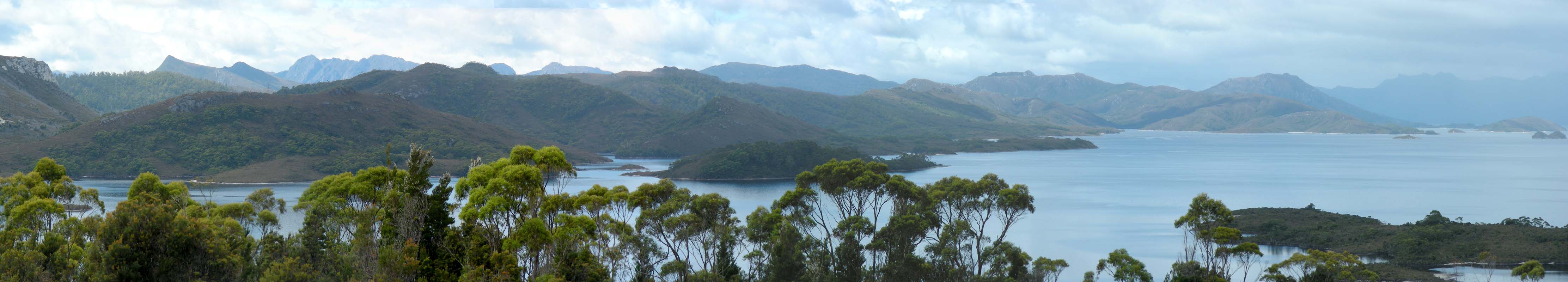
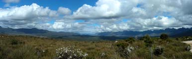
The lookout shortly after the town offers some stunning
views over Lake Pedder and the mountains.
We decide to come back here when the weather is better ...
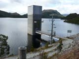
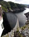

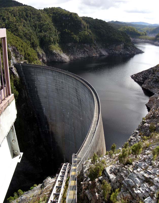
Next stop is Serpentine Dam, then Gordon
Dam.
For
more information on the dams and the Gordon River Power Development
please click here.
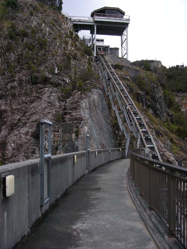
We head down to the dam wall.
On the way back we have to rush as the ain starts coming
down again.
With only 8.5°C it feels very cold and we are not really
that keen on standing in the rain longer than really required.
Getting back into the warm car is sooooo nice!
On the way back we stop at a lookout to have a look at the
water levels of Lake Gordon.
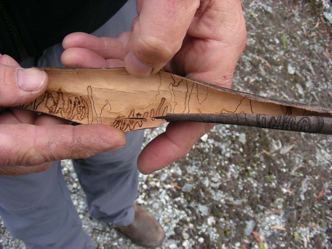
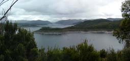
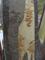
We find some interesting marks on the trees ....
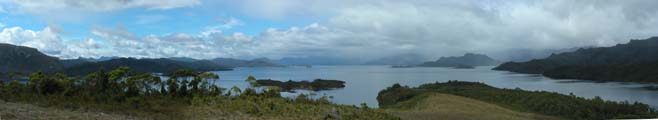
Back at the Strathgordon lookout the weather really improves
a bit and we get some nice shuts.
It really is a very pretty area.
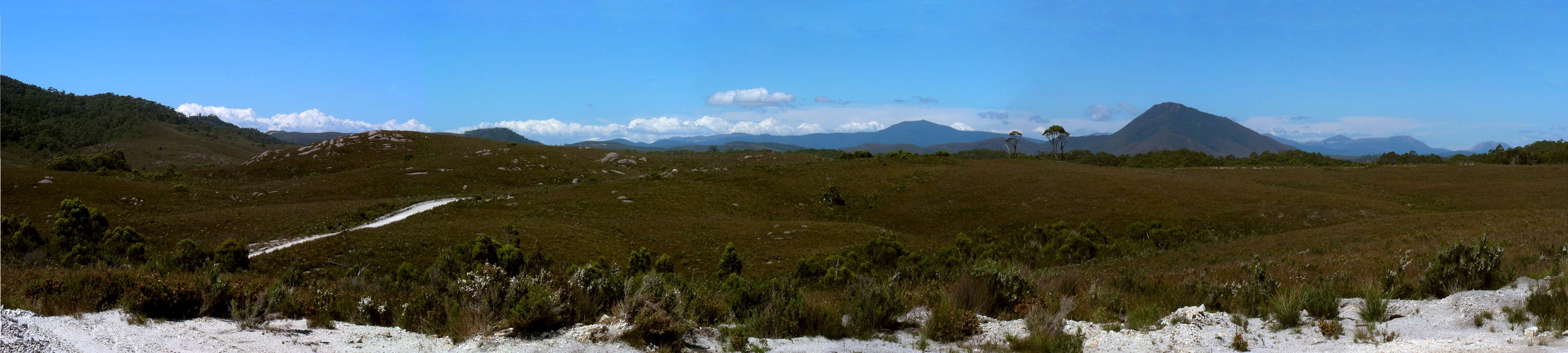
We head all the way back to the turn off to Scotts Peak
Dam and stop at the Creepy Crawly Nature Walk.
The walk is done like a criminal story, explaining a lot
about the creatures that live in this forest in an amusing
way.

The forest again is magical ..... just the fairies are
missing.

On average, 2'450mm of rain falls in this area every year.
No wonder there is such an abundance of mosses and lichens
growing here!

We continue on to Scotts Peak Dam.
The road has some large pot holes but the views get better
and better.
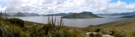
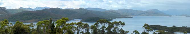
Then we reach Red Knoll Lookout and all
just go "Wow!"
This is so pretty ... the mountains ... the lakes ... all
is just really pretty.

The sun decides to show itself for a few minutes and the
temperature reaches the high of the day with 14.5°C.
Summer has come ....
We would love to stay on top of the mountain for the night
but Peter and Heidi are not keen because of the wind.
With their canvas side-walls they would not sleep much because
of the constant flapping.
So we head down to the Huon Campground where we stay for
the night.
Today the OKA has behaved very nicely, no strange noises,
no wobbling, no jerking, just fine.
We don't understand it but we hope that this is the end of
the problem ....
On Wednesday morning after another cool night (6.5°C)
the weather still looks crummy.
We decide to head to Hobart and check-in
into a caravan park with a powered site, just sit it out
and work on the PC. |